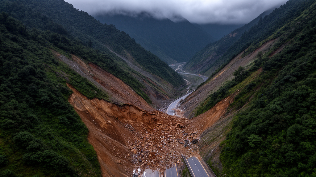
A stretch of Himalayan highway famous for connecting the remote valleys of Spiti to the rest of Himachal Pradesh has now been mapped for landslide danger, and the results are sobering. Using the Analytic Hierarchy Process, a structured expert-based decision method, researchers assessed landslide susceptibility along a one-kilometre buffer on either side of National Highway 505 in India. Their analysis found that 29.82 percent of the study area falls into the very high susceptibility class, while a further 36.9 percent is rated high. The map was validated against an inventory of 325 landslide polygons using a receiver operating characteristic curve, which yielded a prediction rate of 0.817, a value the authors describe as indicating high accuracy for the susceptibility map they produced.
National Highway 505 is a vital transportation lifeline for the Spiti region, linking remote settlements such as Gramphu and Kaza with the rest of the state. The road traverses high-altitude, geologically fragile Himalayan terrain where elevation along the alignment ranges from roughly 1,400 metres in the lower valleys to more than 4,000 metres at mountain passes such as Kunzum La, and the digital elevation model used in the study shows heights exceeding 5,000 metres in places. Adjacent hill slopes commonly exceed 45 degrees, making them inherently unstable. The corridor is repeatedly disrupted by intense monsoon rainfall and cloudburst events between July and September, rapid spring snowmelt that saturates slope materials, hill cutting during road construction and widening, and occasional earthquakes in a seismically active zone. These combined pressures make the route one of the most hazardous transportation corridors in the Indian Himalayas, according to the study team.
The geology beneath the highway compounds the problem. The area consists predominantly of highly fractured and weathered metamorphic rocks, including mica schist, gneiss and quartzite, which are structurally weak and heavily jointed. Large portions of the terrain are mantled by unconsolidated colluvial material, ancient landslide deposits and glacial debris, all of which increase susceptibility to rockfalls, debris flows and shallow landslides. Field observations cited in the research indicate that slope failures occur repeatedly, especially during the post-monsoon period and after rapid snowmelt episodes. Steep rocky slopes commonly experience wedge failures, planar failures, toppling and rockfall activity, while weathered and debris-covered areas favour shallow landslides and rapid debris flows, and deep-seated rotational failures develop in some locations within old landslide masses and over-steepened slopes.
To build the susceptibility model, the researchers assembled ten causative factors: slope, aspect, elevation, curvature, soil depth, soil texture, geological formation, lithology, geomorphology and land use/land cover. Topographic data came from a 30-metre-resolution Shuttle Radar Topography Mission digital elevation model, while geological thematic layers, the landslide inventory and the national highway vector dataset were obtained from the Bhukosh portal. Land use/land cover and soil datasets were sourced from the India Water Resources Information System. All thematic layers were clipped to the buffer shapefile, projected to a common Universal Transverse Mercator coordinate system, and rasterised to a common format with cell sizes matching the elevation model, using ArcGIS Pro spatial analyst tools.
The Analytic Hierarchy Process works by breaking a complex decision into a hierarchy and comparing criteria pairwise on Saaty’s scale from 1 to 9, with reciprocal values assigned for inverse relationships. In this study the hierarchy contained three levels: the overall objective of landslide susceptibility, the ten causative factors, and their subclasses. Pairwise comparisons were performed by three experts with 10 to 30 years of experience, a pool comprising a field engineer, a geotechnical engineering expert and a GIS expert, whose judgements drew on published literature, field experience and the available landslide inventory. Consistency was checked through the consistency ratio, calculated as the consistency index divided by the randomness index, and the final value of 0.0178 was well below the 0.1 threshold, confirming that the pairwise comparison matrix was logically consistent and the assigned weights reliable for weighted overlay analysis.
Among the ten factors, slope received the highest weight at 0.259, reflecting its direct control on runoff velocity, erosion intensity and the factor of safety. Geomorphology ranked second at 0.174, followed by land use/land cover at 0.147. Geological formation and lithology were each assigned 0.099, soil texture and elevation each 0.0603, aspect and soil depth each 0.0375, and curvature the lowest weight at 0.0254. Within the slope factor itself, very steep gradients above 45 degrees attained the maximum normalised weight of 0.412, high slopes between 30 and 45 degrees received 0.355, moderate slopes 0.168 and low slopes between 0 and 15 degrees just 0.065. The authors note that the close weights of the high and very high slope categories suggest instability increases sharply once a critical slope threshold is exceeded.
The subclass weights reveal further patterns. Very high elevation areas above 4,500 metres obtained the greatest elevation weight at 0.404, with high elevation zones between 4,000 and 4,500 metres close behind at 0.347, consistent with steep relief, glacial influence, sparse vegetation, intense weathering and freeze-thaw cycles at altitude. For soil texture, rocky and non-soil surfaces attained the highest weight of 0.577, coarse-textured soils 0.342 and fine-textured soils 0.081. Concave slopes dominated the curvature factor with a weight of 0.592, because they accumulate runoff, sediments and moisture that raise pore-water pressure and reduce stability. Northeast-facing slopes received the highest aspect weight at 0.236, which the researchers attribute to greater moisture retention, freeze-thaw activity and enhanced weathering, while flat surfaces scored lowest at 0.021. Grass and grazing lands and barren rocky terrain showed the highest land use dominance, whereas forest plantations and deciduous vegetation ranked lower, reflecting the stabilising effect of vegetation cover.
Combining the weighted factors produced a landslide susceptibility index for every part of the corridor, which was then classified into four categories using natural breaks. The low susceptibility class covers just 1.7 percent of the study area and contains only 0.24 percent of the total landslide area. The moderate class spans 31.48 percent of the area and accounts for about 14.7 percent of landslides. The high class covers 36.9 percent of the area and holds 33.01 percent of the landslide area, while the very high class, covering 29.82 percent of the area, contains more than 52 percent of the mapped landslide area.
Validation relied on a landslide inventory of 325 landslide polygons. The receiver operating characteristic curve plots the true positive rate against the false positive rate, and the area under the curve served as the prediction rate, which came out at 0.817. The authors caution that the inventory was suitable only for validation, not for building a data-driven model, because uncertainties in the spatial and temporal distribution of landslides and the difficulty of verifying it in complex terrain made it inadequate for robust statistical or machine learning model development. This constraint is precisely why the expert-based Analytic Hierarchy Process was chosen: such semi-qualitative techniques are reliable and do not require historical landslide data for model construction, although they do depend on expert judgement.
The study also acknowledges its limitations. The 30-metre resolution of the elevation model may affect the results, and higher-resolution data could improve reliability. The output depends on the ten factors selected, and the authors suggest that drainage density, streams, freeze-thaw impact, rainfall and distance from faults could be added in future work, alongside statistical and machine learning approaches. Expert weightage may also introduce bias through subjective judgement. Despite these caveats, the researchers argue that the generated susceptibility map can serve as an important tool for disaster risk reduction, land-use planning, infrastructure development and slope management, and that integrating geospatial techniques with multi-criteria decision-making offers a practical path for mitigating landslide hazards in vulnerable mountainous regions where historical landslide data are too sparse for data-driven modelling.
Subject of Research: Landslide susceptibility mapping along National Highway 505 in Himachal Pradesh using the Analytic Hierarchy Process in a GIS environment
Article Title: Unravelling the role of landslide causative factors on landslide susceptibility along NH 505 using Analytic Hierarchy Process (AHP) in geospatial environment
Article References: Chandra, A., Srivastav, A., Meena, G., Srivastava, A. K., & Panchal, S. (2026). Unravelling the role of landslide causative factors on landslide susceptibility along NH 505 using Analytic Hierarchy Process (AHP) in geospatial environment. Discover Hazards, 2(1), Article 65. https://doi.org/10.1007/s44475-026-00072-x
Image Credits: AI Generated
DOI: 10.1007/s44475-026-00072-x
Keywords: landslide susceptibility, NH 505, Himachal Pradesh, Analytic Hierarchy Process, GIS, Himalaya, ROC validation, slope stability, geomorphology, disaster risk reduction, geospatial modelling, Spiti
Cite Scienmag News
Violet Maxwell. (October 28, 2026). AHP landslide susceptibility map flags 30% of NH 505 corridor as very high risk. Scienmag. https://scienmag.com/ahp-landslide-susceptibility-map-flags-30-of-nh-505-corridor-as-very-high-risk/
Violet Maxwell. "AHP landslide susceptibility map flags 30% of NH 505 corridor as very high risk." Scienmag, 28 October 2026, https://scienmag.com/ahp-landslide-susceptibility-map-flags-30-of-nh-505-corridor-as-very-high-risk/. Accessed 28 October 2026.
Violet Maxwell. "AHP landslide susceptibility map flags 30% of NH 505 corridor as very high risk." Scienmag. October 28, 2026. https://scienmag.com/ahp-landslide-susceptibility-map-flags-30-of-nh-505-corridor-as-very-high-risk/