


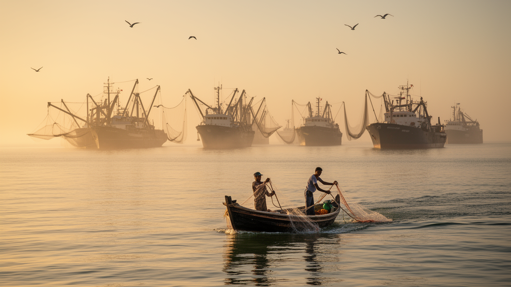
A new global index of vulnerability to conflict between small-scale and industrial fisheries shows that the risk is highest precisely where small-scale fishing matters most for food and nutrition and where national governance is weakest. The study, published in Nature Food, applied a Small-Scale and Industrial Fisheries Interaction index, or SIFI, to 126 countries using two recent global datasets, and found that vulnerability to conflict is concentrated in Africa, Oceania and Asia, while Europe and North America show the lowest levels.
Small-scale fisheries are widely recognised as essential for food security and coastal conservation, yet the researchers set out to quantify how competition and conflict with large-scale fleets threaten those contributions to the United Nations Sustainable Development Goals. The team, led by Melissa R. Cronin with colleagues including Elena Finkbeiner, John Virdin, Christina C. Hicks and Xavier Basurto, built the index around three components drawn from vulnerability frameworks: exposure, sensitivity and adaptive capacity. Exposure was defined as the degree to which large-scale fishing activity co-occurs spatially with small-scale fishing, combining the density of nearshore industrial vessels with the intensity of small-scale production. Sensitivity captured a nation’s economic and nutritional dependence on small-scale fisheries, and adaptive capacity reflected development and governance, measured through the Human Development Index and governance indicators.
The index was constructed using a confirmatory factor analysis, a statistical method the authors selected after comparing three approaches because it best captured the relationships among components and explained the most variance. Each country contributed one index value, scaled from 0 to 1, with higher scores indicating greater vulnerability. Adaptive capacity indicators were reverse-coded so that higher scores indicate lower adaptive capacity. The model was estimated with maximum likelihood and 1,000 bootstrap iterations, and the authors report strong model fit statistics.
The geographic pattern was stark. Vulnerability was highest in Africa, with 36 countries analysed, followed by Oceania with 8, Asia with 29 and Central America with 27, and lowest in Europe with 24 and North America with 2. The most vulnerable subregions were western Africa and eastern Asia, and the three most vulnerable countries globally were Guinea, Sierra Leone and Mozambique. Exposure was highest in Asia, particularly eastern and southeastern Asia, followed closely by Africa, especially West Africa. Sensitivity was highest in Africa, Oceania and Asia, while adaptive capacity was highest overall in North America and lowest overall in Africa.
A striking technical detail concerns the composition of the industrial fleet pressure. Of the industrial vessels that could be identified from automatic identification system, or AIS, broadcasts, 90 percent were trawlers, vessels that may use bottom trawl gear, which the authors note is known to exert substantial damage on seafloors and coastal ecosystems. The exposure measure drew on AIS detections of industrial fishing vessels operating within 25 kilometres of shore during 2017 to 2021, complemented by synthetic aperture radar imagery to estimate the density of vessels that do not broadcast AIS, providing a more complete picture of nearshore fishing activity.
Beyond the headline rankings, the index also identified 15 low-exposure outlier countries, including Comoros, Libya, Yemen, Greece and the Solomon Islands, which showed relatively low exposure but high sensitivity and low adaptive capacity compared with counterparts in the same region. The authors suggest these countries may serve as bright spots or as precursors for understanding what keeps exposure low, whether policies limiting nearshore industrial fishing, biophysical features that reduce industrial access to nearshore zones, or even political instability that constrains industrial expansion. They caution that countries with low present exposure may become more vulnerable if industrial activity expands in nearshore zones, which makes proactive identification important.
One of the study’s most policy-relevant findings concerns preferential access areas, spatial zones that grant small-scale fisheries rights to operate without competition from industrial fleets. At least 44 countries have enacted such areas, including Nicaragua, Equatorial Guinea, Suriname and Guinea. Yet countries with preferential access areas were more vulnerable to conflict according to the index, with a mean score of 0.59 versus 0.42 for countries without them, a statistically significant difference. Those countries also showed significantly higher sensitivity and exposure and lower adaptive capacity. The authors interpret this as evidence that such policies have often been reactive, adopted in contexts where conflict was already elevated, and they conclude that preferential access areas are probably an important step for reducing spatial overlap but are insufficient alone, particularly where enforcement is weak and industrial fleets remain poorly regulated.
The structural analysis added a deeper insight into how the components interact. Bivariate linear models indicated that sensitivity is positively associated with exposure and negatively associated with adaptive capacity, and that exposure and adaptive capacity are negatively associated. But when all three components were modelled simultaneously in a structural equation model, sensitivity mediated the relationship between exposure and adaptive capacity, with the direct path between exposure and adaptive capacity weakened once sensitivity was included. The authors write that the overall vulnerability of coastal populations is driven strongly by their reliance on small-scale fisheries, especially for nutrition, pointing to small-scale dependence as a key pathway through which industrial pressure translates into vulnerability. They note that high retention of small-scale catch helps secure local protein and micronutrients, whereas most large-scale catch is exported through complex supply chains, with a large proportion destined to become fishmeal to feed livestock.
The authors are explicit about the index’s limitations. It has not yet been validated against observed conflict events, owing to a lack of comprehensive data, and should be interpreted as an indicator of potential risk rather than a direct measure of realised conflict. The most recent large-scale vessel data used are from 2021, and the authors point to Madagascar as an example: it is classified as low exposure, yet recent documented conflicts between small-scale fishers and industrial fleets suggest otherwise, probably reflecting a recent increase in China-flagged trawlers in waters beyond what the index captures. Exposure, defined simply as spatial co-occurrence, also does not capture differences in fishing practices or target species, and therefore does not encompass resource competition, which the authors describe as a potential major driver of conflict. Industrial activity not captured by broadcast tracking systems, which may include illegal, unreported or weakly regulated fishing, could mean exposure is underestimated in many countries, potentially disproportionately affecting those with limited enforcement capacity.
Looking forward, the authors propose broad starting points rather than prescriptive solutions: implementing the Food and Agriculture Organization’s Voluntary Guidelines for Securing Sustainable Small-Scale Fisheries, ratified by the UN Committee on Fisheries in 2014, especially through spatial access rights; restricting large-scale overcapacity, which is often maintained through harmful fisheries subsidies, noting that per capita, large-scale fishers receive 3.5 times more subsidies than small-scale fishers; and negotiating fair fishing agreements that deliver genuine benefits to coastal states. They also flag that as energy, mining, tourism and aquaculture expand under blue economy agendas, prioritising large-scale economic activities over localised small-scale use could drive novel spatial competition in areas critical to small-scale fishers. Stronger fishery management tools in coastal zones, particularly to delineate and enforce areas designated for small-scale fisheries, they argue, are necessary to avert future conflict and support sustainable and equitable coastal food systems.
Subject of Research: A global vulnerability index for interactions between small-scale and industrial fisheries across 126 countries
Article Title: Conflict with industrial fleets undermines the contributions of small-scale fisheries to sustainable development in vulnerable regions
Article References: Cronin, M. R., Finkbeiner, E., Virdin, J., Carmine, G., Dalton, K. H., Fitzpatrick, J., Hicks, C. C., Mancha-Cisneros, M. D. M., & Basurto, X. (2026). Conflict with industrial fleets undermines the contributions of small-scale fisheries to sustainable development in vulnerable regions. Nature Food, 7(10), 999-1010. https://doi.org/10.1038/s43016-026-01431-z
Image Credits: AI Generated
DOI: 10.1038/s43016-026-01431-z
Keywords: small-scale fisheries, industrial fishing, fisheries conflict, vulnerability index, food security, ocean governance, trawlers, preferential access areas, West Africa, fisheries subsidies, sustainable development, coastal communities
Cite Scienmag News
Ophelia Keating. (October 27, 2026). New index reveals where industrial fleets put small-scale fisheries most at risk. Scienmag. https://scienmag.com/new-index-reveals-where-industrial-fleets-put-small-scale-fisheries-most-at-risk/
Ophelia Keating. "New index reveals where industrial fleets put small-scale fisheries most at risk." Scienmag, 27 October 2026, https://scienmag.com/new-index-reveals-where-industrial-fleets-put-small-scale-fisheries-most-at-risk/. Accessed 27 October 2026.
Ophelia Keating. "New index reveals where industrial fleets put small-scale fisheries most at risk." Scienmag. October 27, 2026. https://scienmag.com/new-index-reveals-where-industrial-fleets-put-small-scale-fisheries-most-at-risk/


