


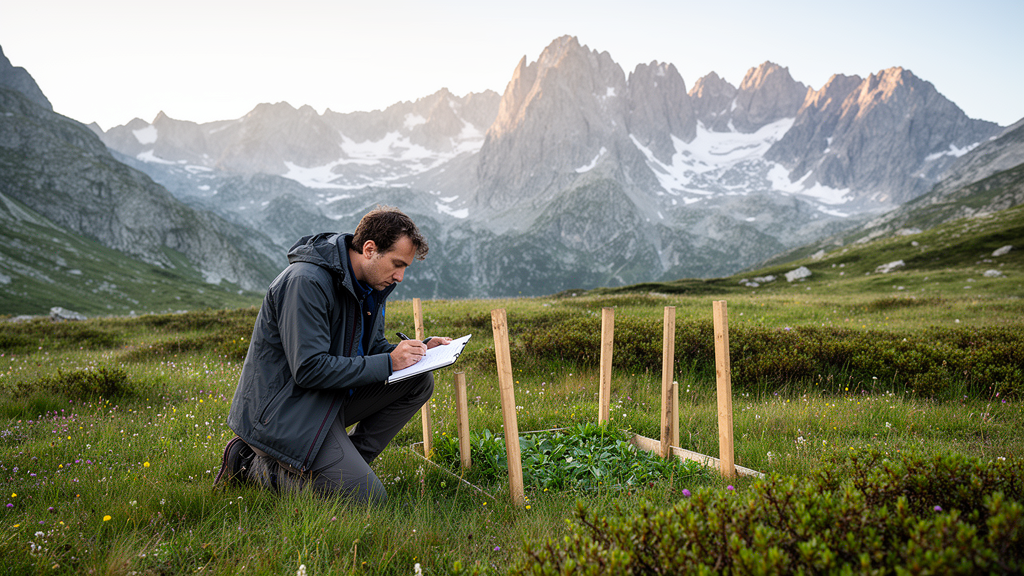
Italy’s first national park has thrown open its botanical archives. The Vegetation Database of the Gran Paradiso National Park, registered in the Global Index of Vegetation-Plot Databases under the code EU-IT-025, brings together 1,203 vegetation plots gathered across more than five decades of fieldwork, from 1970 to 2023, and makes them freely explorable through a dedicated web application. The database records 853 taxa, 809 of them vascular plants and 44 bryophytes, and none of the plots had previously been deposited in any vegetation database. For a protected area whose botanical records had long been scattered across unpublished reports, paper sheets, local project datasets and obsolete digital media, the release represents a decisive step against the quiet loss of historical ecological information.
Gran Paradiso National Park, established by royal decree in 1922 after originating as a Royal Hunting Reserve created in 1856 to save the Alpine ibex from extinction, covers roughly 71,000 hectares of the Graian Alps in north-western Italy, spanning Aosta Valley and Piedmont. Its elevational range runs from 800 metres to the 4,061-metre summit of Gran Paradiso itself, and more than 1,100 vascular plant species have been recorded within its boundaries, including over 80 alpine endemics. The park also hosts 36 Natura 2000 habitats.
The compilation draws on multiple research projects and conservation programmes carried out in the park over the years, covering plant diversity, habitat mapping, land-use dynamics and the ecological effects of climate change. Some projects involved long-term monitoring, notably the proglacial flora monitoring programme, which contributed a key subset of permanent plots. The surveys employed a striking variety of methods: traditional phytosociological relevés using the Braun-Blanquet scale and its modified versions, the Pignatti scale, and visual percentage cover estimates from 1 to 100 percent; pin-point methods based on grids of 16 square metres with 289 pins and 25 square metres with 441 pins; and linear surveys of 12.5, 20 and 25 metres for high-precision abundance estimation, integrated with lists of occasional species.
Reconciling such heterogeneous methods was a central technical challenge. To ensure internal consistency and interoperability, the team converted the different abundance-dominance scales into a single percentage cover value for every record. For pin-point data, species relative abundance was calculated as the proportion of total vegetation contacts and then scaled to the total herbaceous cover of the corresponding plot, converting raw contact frequencies into cover estimates comparable with those from other methods. Each survey also recorded cover for biotic components such as herbs, trees, shrubs and bryophytes, and abiotic elements such as rocks, sand and litter, alongside ecological parameters including elevation, slope and aspect. All records were georeferenced, either directly in the field with GPS or through the localisation and digitisation of historical records.
The resulting dataset is dominated by high-elevation environments. Of the 1,203 plots, 953 lie above 2,000 metres, a clear reflection of the database’s focus on alpine vegetation. Most surveys followed the pin-point approach, and plot sizes were predominantly 4, 25 and 50 square metres, although the full range extends from 0.625 to 400 square metres, chosen according to vegetation type and established survey protocols. The temporal distribution shows two pronounced peaks, 219 plots in 2004 and 285 in 2013, while from 2019 to 2023 sampling effort remained comparatively steady, with between 63 and 175 surveys each year. Annual variation in the number of plots reflects the intermittent availability of research funding and the timelines of specific floristic monitoring programmes. Data collected in 2024, 2025 and 2026 are not yet included, as they are still undergoing revision, species identification and digitisation.
The taxonomic and conservation detail embedded in the database is considerable. Of the 853 recorded taxa, 63, about 7 percent of the total, are classified as endemics of the Alps or of the Western Alps alone, and 107 species are currently assigned to at least one conservation category, with several taxa falling under multiple protection frameworks simultaneously. Arnica montana, Artemisia genipi and Trifolium saxatile, for example, are listed under regional legislation, included in the National Red List and reported in the Habitats Directive 92/43/EEC. At the regional level, 99 species are protected by specific legislation: 79 under Aosta Valley Regional Law no. 45/2009 and 35 under Piedmont Regional Law no. 32/1982, with 15 species shared between the two frameworks. Twenty-four species appear in the National Red List across categories including Least Concern, Near Threatened and Endangered, with roughly half of those classified as Data Deficient, and 10 species of community concern are listed in the Habitats Directive under annexes II, IV and V.
Classification into the EUNIS habitat framework, performed with a standardised R-based expert system aligned to the EUNIS Expert System version v.2025-10-03, shows the overwhelming dominance of open alpine habitats. The vast majority of plots, 837, were assigned to ‘Grasslands and lands dominated by forbs, mosses, or lichens’, with more than half of those, 423, falling within ‘Alpine and subalpine grasslands’. Wetlands accounted for 74 plots and inland habitats with no or little soil and sparse vegetation for 66, with smaller contributions from heathlands, scrub and tundra, forests and other wooded land, inland waters, and vegetated man-made habitats. A total of 131 plots remained unclassified, primarily because of a lack of diagnostic species cover and the presence of transitional vegetation types that did not reach the membership thresholds required by the expert system.
Access to the data comes through a ShinyApp web application that offers an interactive map of the park with filters for EUNIS habitat type, year and elevation ranges, survey method and a geographic selection tool. Users can overlay map layers including a Digital Elevation Model and park, valley and regional boundaries. Selecting a plot opens a pop-up window with the EUNIS habitat code and description, both linking to the corresponding FloraVeg.EU habitat page, along with plot ID, elevation, coordinates and year, and a further window provides authors, site attributes such as area, slope, aspect and lithology, survey method, percentage biotic and abiotic cover, and species counts. Data are managed in Turboveg 3, and each taxon carries a unique identifier linked to the Italian checklists of native and alien vascular flora and the national checklist of bryophytes, preserving both the original field identification and the current accepted name to maintain a clear taxonomic trail.
The authors position the database primarily as a historical vegetation archive rather than a monitoring programme, since most of its content originates from projects not specifically designed for long-term observation, but they emphasise that the subset of 66 permanent plots already enables direct temporal comparisons and targeted analyses of specific habitat dynamics. The georeferenced, harmonised data are intended to feed into regional, national and international vegetation-plot networks, improving the representation of alpine ecosystems, which remain underrepresented in large plot-based datasets despite their sensitivity to climatic and environmental shifts. The resource is also aimed at park managers, land-use planners and administrations, supporting environmental impact assessments, habitat mapping and conservation planning, and it may inform broader applications from faunal conservation strategies to studies of landscape evolution, habitat suitability and soil stability.
Future work will focus on updating the database continuously with new vegetation data collected within the park and on improving the representation of currently under-sampled habitats, notably forests and other wooded land and inland waters. The gaps are already visible in the current release: tree species are underrepresented because forest habitats were marginally surveyed, and ruderal species are scarcely represented since no plots were conducted in urban environments. By making these knowledge gaps explicit, the database is intended to guide future survey efforts and promote more balanced habitat coverage across the park, while providing a robust baseline for phytosociological research, vegetation classification and ecological comparison in high-elevation environments where the combined effects of climate change and land-use change are rapidly reshaping ecosystems.
Subject of Research: A vegetation-plot database for Gran Paradiso National Park, Italy
Article Title: Vegetation Database of the Gran Paradiso National Park: a new tool for the oldest national park in Italy
Article References: Comunello, D., Mainetti, A., Lonati, M., Nota, G., Pittarello, M., Ravetto Enri, S., Brusa, G., & Bonari, G. (2026). Vegetation Database of the Gran Paradiso National Park: a new tool for the oldest national park in Italy. Vegetation Classification and Survey, 7, 183–195. https://doi.org/10.3897/VCS.196748
Image Credits: AI Generated
DOI: 10.3897/VCS.196748
Keywords: Gran Paradiso National Park, vegetation database, alpine biodiversity, EUNIS habitats, phytosociology, GIVD, conservation, endemic species, vegetation plots, Italy, bryophytes, habitat classification
Cite Scienmag News
Margaret Porter. (October 27, 2026). Italy’s Oldest National Park Opens Decades of Alpine Vegetation Data to the World. Scienmag. https://scienmag.com/italys-oldest-national-park-opens-decades-of-alpine-vegetation-data-to-the-world/
Margaret Porter. "Italy’s Oldest National Park Opens Decades of Alpine Vegetation Data to the World." Scienmag, 27 October 2026, https://scienmag.com/italys-oldest-national-park-opens-decades-of-alpine-vegetation-data-to-the-world/. Accessed 27 October 2026.
Margaret Porter. "Italy’s Oldest National Park Opens Decades of Alpine Vegetation Data to the World." Scienmag. October 27, 2026. https://scienmag.com/italys-oldest-national-park-opens-decades-of-alpine-vegetation-data-to-the-world/


