


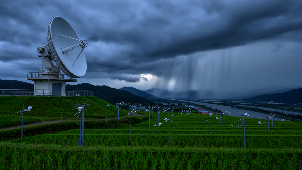
Scientists have released a nine-year, high-resolution precipitation dataset for South Korea that merges nationwide weather radar observations with the country’s dense network of rain gauges, producing rainfall estimates every 10 minutes on a 500-meter grid. The product, known as RRBF-KMA, covers the period from 1 January 2016 to 31 December 2024 and was generated by combining composite radar reflectivity from the Korea Meteorological Administration (KMA) with quality-controlled gauge measurements from two national observing networks. According to the data description article published in Earth System Science Data, the dataset fills a gap for a country where complex terrain and intense summer monsoon convection create rainfall patterns that coarse or slow-cadence products simply cannot capture.
The motivation for such a dataset lies in the physics of Korean rainfall. During the East Asian summer monsoon, convective storms can dump damaging rain on individual neighborhoods within minutes, triggering flash floods in densely built urban catchments. To resolve these events, hydrologists need rainfall fields at sub-hourly and kilometer scales. Existing long-term radar precipitation archives such as RADKLIM in Germany, the UK Met Office’s NIMROD composites, the European OPERA products, and EURADCLIM demonstrate how national services build such records, but South Korea lacked a comparable long-term merged product at this resolution. The new dataset was designed to close that gap while remaining computationally cheap enough for near-real-time operation.
The raw ingredients come from two complementary observing systems, each with well-known weaknesses. Rain gauges deliver accurate point measurements, but the combined KMA network of roughly 550 Automatic Weather System stations and 100 Automated Synoptic Observing System stations averages an inter-station spacing of about 13 kilometers, leaving vast areas unobserved between instruments. Weather radar, by contrast, sweeps the entire country with high temporal cadence, but radar-derived rainfall suffers from systematic errors including attenuation, bright-band contamination, calibration drift, and terrain blockage. Merging the two sources has therefore become the standard strategy for quantitative precipitation estimation, and the Korean team built their framework around that principle.
The radar input is the KMA Hybrid Surface Rainfall composite, a mosaic of reflectivity from 11 radars (10 S-band and 1 C-band) projected onto a Lambert Conformal Conic grid of 2305 by 2881 pixels at 500-meter spacing. Individual radar volumes are first cleaned of non-precipitation echoes using the CLEANER algorithm, and the composite selects the lowest elevation scan unaffected by terrain blockage, switching to higher scans where beams are shielded. Reflectivity is converted to rain rate using KMA’s operational Z–R relationship, Z = 148 R^1.59. The authors caution that the 500-meter value describes the native grid spacing rather than the true physical resolution of the radar measurement, which degrades with distance from each antenna.
Gauge data undergo their own preparation. The 1-minute records from tipping-bucket AWS gauges (0.5-millimeter resolution) and weighing-type ASOS gauges (0.1-millimeter resolution) are screened for missing values, physically impossible intensities above 8 millimeters per minute, and abrupt resets in cumulative tipping counts. Surviving data are aggregated into 10-minute accumulations and converted to rainfall intensity. A uniform minimum threshold of 0.1 millimeters per hour separates rain from no-rain, a value tied to the finest rate the ASOS gauges can resolve over an hour; at the 10-minute scale, the smallest nonzero rates any gauge can physically report are higher, so the threshold effectively acts as a nonzero criterion.
The heart of the method is a temporally constrained bias correction. At each 10-minute step during precipitation, the ratio of total gauge rainfall to total radar rainfall at gauge locations yields a multiplicative correction factor, computed only when both sources exceed 0.5 millimeters per hour and at least 20 valid gauge–radar pairs exist. Ratios outside the 5th to 95th percentile range are discarded as outliers. Crucially, the factor is not allowed to jump freely: changes relative to the previous step are capped at plus or minus 30 percent, and an exponentially weighted moving average with a weighting of 0.5 smooths the series. If too few pairs are available, the previous factor is carried forward. This design suppresses the artificial temporal flickering that plagues bias corrections applied independently at each time step, a known problem in rapidly evolving storm systems.
After bias correction, the remaining differences between gauge observations and corrected radar estimates are interpolated across the country using a residual radial basis function (RRBF) approach with an exponential kernel and a shape parameter of 16 kilometers. The interpolated residual field is added to the bias-corrected radar rainfall, preserving fine-scale radar structure while nudging the result toward what the gauges actually measured. Residual interpolation is performed only when at least five stations meet the rainfall threshold; otherwise the corrected radar field stands alone. The entire pipeline is computationally efficient, requiring roughly one minute per 10-minute analysis, which the authors say makes near-real-time implementation feasible.
Validation combined an event-based evaluation of summer 2022 rainfall with a long-term analysis across the full 2016–2024 record, using leave-one-out cross-validation in which each station is sequentially withheld from the residual interpolation. The authors note one caveat: withheld stations were still included in the domain-wide bias factor, so the cross-validation statistics should be regarded as slightly optimistic. Even so, the improvements over radar-only estimates are substantial. For 10-minute accumulations in summer 2022, the raw Z–R conversion showed a normalized bias of −35.15 percent, which the mean field bias method reduced to −6.65 percent, while the RRBF product achieved a near-zero bias of 1.06 percent with a correlation of 0.8318 and a mean absolute error of 0.50 millimeters. At 60-minute accumulations, the RRBF correlation rose to 0.9386 with a mean absolute error of 0.93 millimeters per hour, beating both alternatives.
The long-term hourly validation tells a similar story across rainfall intensities. For gauge-observed rainfall of at least 0.1 millimeters per hour, the normalized mean absolute error fell from 53.38 percent for radar-only estimates to 28.85 percent for the merged product, while correlation improved from 0.7703 to 0.9251 and normalized bias shrank from −13.13 percent to 0.58 percent. As the intensity threshold rises to 5.0 millimeters per hour, radar-only estimates grow progressively worse, with normalized bias deepening to −30.73 percent, whereas the merged product keeps bias within ±3.3 percent and retains a correlation of 0.8699. Seasonally, correlations range from about 0.86 in winter to above 0.92 in summer and autumn, with winter showing the largest scatter. Station-level maps reveal that the merged product reduces the widespread negative bias seen in coastal and mountainous regions, including areas near Jeju Island where beam blockage by Hallasan, South Korea’s highest mountain at 1947 meters, forces the radar composite to rely on higher-elevation scans.
The released archive comprises 473,472 expected 10-minute intervals, of which only 170 (0.036 percent) are missing, almost all isolated single steps except for a full-day gap on 29 February 2016 when the national composite was unavailable. No gap filling was applied. Data are distributed as CF-compliant NetCDF4 files storing rainfall intensity as scaled 16-bit integers, organized into monthly compressed archives and split across two Zenodo repositories purely because of platform storage limits. The authors document remaining limitations honestly: azimuthal artifacts from radar beam geometry persist in long-term accumulations, gauge quality control relied on general range checks rather than site-specific error modeling, and hardware changes such as the dual-polarization upgrades completed between 2014 and 2019 may affect long-term homogeneity. Still, as one of the first sub-kilometer, sub-hourly merged precipitation records for South Korea, the dataset offers a foundation for flood forecasting, extreme rainfall analysis, hydrological modeling, and satellite validation, and its per-interval file structure is deliberately designed to support a future transition to operational near-real-time production.
Subject of Research: High-resolution radar–gauge merged precipitation estimation for South Korea, 2016–2024
Article Title: RRBF-KMA: high-resolution radar–gauge merged precipitation dataset for South Korea (2016–2024)
Article References: Ryu, S., Song, J. J., Lim, K. S., & Lee, G. (2026). RRBF-KMA: high-resolution radar–gauge merged precipitation dataset for South Korea (2016–2024). Earth System Science Data, 18(10), 7679-7695. https://doi.org/10.5194/essd-18-7679-2026
Image Credits: AI Generated
DOI: 10.5194/essd-18-7679-2026
Keywords: precipitation dataset, weather radar, rain gauge, radar–gauge merging, bias correction, radial basis function, South Korea, quantitative precipitation estimation, flash flood forecasting, East Asian monsoon, high-resolution gridded data, cross-validation
Cite Scienmag News
Violet Maxwell. (October 27, 2026). New radar–gauge dataset maps South Korean rainfall every 10 minutes at 500-meter resolution. Scienmag. https://scienmag.com/new-radar-gauge-dataset-maps-south-korean-rainfall-every-10-minutes-at-500-meter-resolution/
Violet Maxwell. "New radar–gauge dataset maps South Korean rainfall every 10 minutes at 500-meter resolution." Scienmag, 27 October 2026, https://scienmag.com/new-radar-gauge-dataset-maps-south-korean-rainfall-every-10-minutes-at-500-meter-resolution/. Accessed 27 October 2026.
Violet Maxwell. "New radar–gauge dataset maps South Korean rainfall every 10 minutes at 500-meter resolution." Scienmag. October 27, 2026. https://scienmag.com/new-radar-gauge-dataset-maps-south-korean-rainfall-every-10-minutes-at-500-meter-resolution/


