


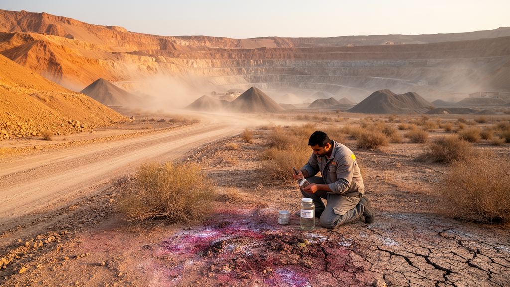
Lead contamination in the topsoil of a semi-arid mining district in western Iran exceeds ecological risk thresholds across the entire study area, according to a new study published in Environmental Monitoring and Assessment. Researchers Mahin Saedpanah and Bubak Souri combined a four-month topsoil monitoring campaign with a spatiotemporal statistical model to characterize where lead occurs in the Qorveh mining region and which environmental factors control its distribution, pairing the mapping results with an ecological risk assessment.
The team collected 100 topsoil samples from different locations across the district, visiting different sites in each month of the four-month monitoring period. Lead was selected as the target contaminant because of its strong association with mining activities, its high environmental persistence in soils, and its ecological significance. The sampling design was intended to capture how lead concentrations vary both across the landscape and through the monitoring window in a semi-arid mining environment.
To explain the observed patterns, the researchers built a Geographic and Temporal Weighted Regression (GTWR) framework that integrated a set of explanatory variables: soil pH, electrical conductivity (EC), soil organic carbon (SOC), zirconium (Zr) as a geological and geochemical indicator, elevation and slope as topographic attributes, and the normalized difference vegetation index (NDVI), a satellite-derived measure of vegetation. The central methodological question was whether a model accounting for space and time simultaneously outperforms simpler alternatives. The authors therefore compared GTWR against Ordinary Least Squares (OLS), Geographically Weighted Regression (GWR), which handles spatial variation only, and Temporally Weighted Regression (TWR), which handles temporal variation only, using multiple statistical evaluation metrics and model-fitting criteria.
GTWR proved clearly superior, achieving an R² of 0.79 and outperforming all three comparison models. The variable results pointed to distinct controls on lead distribution: Zr showed a predominantly positive association with lead that varied spatially across the district, electrical conductivity exhibited spatially variable effects, and NDVI and pH displayed relatively stable temporal associations with lead over the monitoring period. Taken together, the authors conclude that lead patterns in the district are shaped by an interplay of geological, geochemical, and biological factors operating at different spatial and temporal scales.
The ecological assessment used the risk quotient (RQ) index, and RQ values exceeded the ecological threshold throughout the study area, indicating widespread potential ecological risk from lead across the mining-affected landscape. The authors argue that integrating GTWR with ecological risk assessment provides a useful framework for characterizing heterogeneous contamination patterns and for supporting the identification of priority areas for environmental monitoring and risk management in mining regions. The study’s scope remains a single semi-arid mining district monitored over four months, so the findings describe conditions during that period rather than long-term trends, and the reported model performance and risk results apply to the sampled landscape and timeframe.
Subject of Research: Spatiotemporal modeling of soil lead distribution and ecological risk in the Qorveh mining region, western Iran
Article Title: Spatiotemporal controls of soil Pb distribution and ecological risk in the Qorveh mining region, Western Iran
Article References: Saedpanah, M., & Souri, B. (2026). Spatiotemporal controls of soil Pb distribution and ecological risk in the Qorveh mining region, Western Iran. Environmental Monitoring and Assessment, 198(11), Article 1228. https://doi.org/10.1007/s10661-026-16074-7
Image Credits: AI Generated
DOI: 10.1007/s10661-026-16074-7
Keywords: soil contamination, lead, GTWR, ecological risk, mining, Iran, spatiotemporal analysis, risk quotient, heavy metals, environmental monitoring, Spatiotemporal, controls
Cite Scienmag News
Violet Maxwell. (October 26, 2026). Lead Exceeds Ecological Risk Thresholds Across Iranian Mining District Soils. Scienmag. https://scienmag.com/lead-exceeds-ecological-risk-thresholds-across-iranian-mining-district-soils/
Violet Maxwell. "Lead Exceeds Ecological Risk Thresholds Across Iranian Mining District Soils." Scienmag, 26 October 2026, https://scienmag.com/lead-exceeds-ecological-risk-thresholds-across-iranian-mining-district-soils/. Accessed 26 October 2026.
Violet Maxwell. "Lead Exceeds Ecological Risk Thresholds Across Iranian Mining District Soils." Scienmag. October 26, 2026. https://scienmag.com/lead-exceeds-ecological-risk-thresholds-across-iranian-mining-district-soils/


