


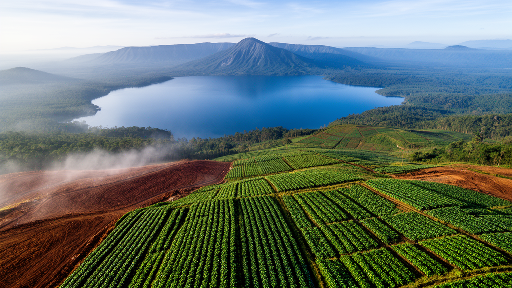
Deep in the volcanic highlands south-west of Lake Toba in North Sumatra lies one of the tropics’ least studied peatland ecosystems, and a new modeling study suggests it is on a trajectory toward near-total agricultural conversion. Within the roughly 6180-hectare mapped Toba Highland Peatland, which spans the districts of Lintong Nihuta, Dolok Sanggul and Pollung in Humbang Hasundutan Regency, cultivated land already covered 70.61 percent of the area in 2023, while natural forest clung to less than 4 percent. Using an artificial neural network coupled with cellular automata, researchers now project that if recent trends continue, farming could occupy 94.75 percent of the mapped peatland by 2038, leaving almost no non-agricultural cover within its boundary.
The Toba Highland Peatlands are an ecological oddity. Unlike the vast lowland peat domes of Sumatra and Kalimantan that dominate Indonesian peatland research, these are topogenous peats that accumulated in depressions on the volcanic plateau of the Toba Caldera Complex, where rainfall, runoff from surrounding hills and restricted drainage keep the ground waterlogged. First described in 1933, the peat occupies a narrow elevation band between 1400 and 1430 meters above sea level, with peat thickness of one to three meters at surveyed sites. A pollen record from the Toba highlands extends back roughly 30,000 years, and forest clearance began around 7500 years before present, evidence of long-standing human use. Globally, mountain peatlands remain understudied, and recent reviews of high-altitude peatland carbon largely omitted tropical regions entirely.
To capture the dynamics of this landscape, the team built on land-cover maps produced from Landsat 8 imagery for 2014, 2019 and 2023. The maps classified every 30-meter pixel into five classes: water bodies, cultivated land, natural forest, built-up land and open land. Classification accuracy, assessed against 1725 reference pixels per date, reached 94.1 percent in 2014, 87.3 percent in 2019 and 95.8 percent in 2023, with Kappa values of 0.865, 0.731 and 0.907. Natural forest and water bodies were mapped with high accuracy, but the class-level accuracy of cultivated land was low in 2014 and 2019, a caveat that makes the magnitude of the early expansion of farmland uncertain even though its direction is consistent with regency-scale records of forest conversion to agriculture.
The historical transition matrices reveal where the pressure came from. Across the 65,603-hectare three-district study area, the largest single transition between 2014 and 2023 was from open land to cultivated land, covering 10,325.40 hectares, followed by the conversion of natural forest to cultivated land at 7710.16 hectares. Cultivated land expanded from 24.8 percent of the study area in 2014 to 44.0 percent in 2019 and then held nearly steady at 43.2 percent in 2023, as large conversions in both directions between farmland and forest largely offset each other. The net loss of natural forest over the decade amounted to roughly 4780 hectares, an annual rate of about 531 hectares, or 1.9 percent per year. Inside the peatland boundary, the pressure was far stronger: natural forest fell from 1642 hectares to 244 hectares, an 85 percent loss, compared with 15.7 percent across the study area as a whole.
The projection model itself is a hybrid. Markov chains can project how much land will change class but not where; cellular automata with expert-weighted suitability maps can allocate change but rely on judgment; and logistic-regression models assume a linear relationship between drivers and land cover. The researchers instead trained a multilayer-perceptron neural network on the observed 2014-to-2019 transitions together with four driving factors: distance to roads, distance to settlements, distance to rivers and population density. The neural network learns non-linear and interacting relationships, such as how the effect of road proximity depends on settlement distance and existing land cover, without assuming a functional form. The cellular-automata component then represents spatial contagion, the tendency of new coffee and horticultural plots to open next to existing fields, roads and villages. The full workflow ran in the open-source MOLUSCE plugin for QGIS.
Validation came from hindcasting. The calibrated model was run from the 2019 map to simulate 2023, and the simulated map was compared pixel by pixel with the classified 2023 map across the entire study area, not a sample. The two agreed over 93.32 percent of the area, with a Kappa Overall of 0.896, Kappa Histogram of 0.943 and Kappa Location of 0.950, indicating that the model reproduced both the quantity of each class and its spatial allocation. For comparison, a null model assuming no change between 2019 and 2023 agreed with the 2023 map over only 56.2 percent of the study area, because the two maps differ over 43.8 percent of it. The model therefore captured a large part of the change that actually occurred, not merely the unchanged land.
The projections are striking. Across the study area, cultivated land is projected to climb from 43.24 percent in 2023 to 65.05 percent by 2038, a net gain of 14,307.30 hectares, while natural forest declines from 39.22 percent to 22.38 percent, a net loss of 11,047.12 hectares. The dominant projected pathway is the conversion of 8568.51 hectares of natural forest to cultivated land. Within the mapped peatland, the trajectory is even more dramatic: farmland rises from 4796.41 hectares in 2028 to 5471.55 hectares in 2033 and 5855.46 hectares, or 94.75 percent, by 2038. Natural forest within the peatland shows a non-linear path, briefly rising to 516.53 hectares in 2028 before collapsing to just 39.43 hectares by 2038. Interestingly, the dominant transition inside the peatland differs from the wider landscape: there, 1133.85 hectares of built-up land is projected to convert to cultivated land, a result the authors interpret cautiously as the model partly reversing a classification error in the 2023 baseline, since the eight-fold jump of built-up land between 2019 and 2023 is unlikely to reflect real settlement growth.
Field measurements add a physical dimension to the spatial analysis. At four cultivated sites, two maize fields and two coffee fields, the team collected eight undisturbed near-surface peat samples using a cylindrical ring sampler at a depth of 10 centimeters. Dry bulk density, which does not depend on sampling moisture, ranged from 0.21 to 0.47 grams per cubic centimeter. The lowest values occurred at the maize site in Lintong Nihuta, where peat was visually fibric to hemic, and the highest at the coffee site in Dolok Sanggul, where peat was sapric. A more consistent pattern emerged between crops, with lower values at the maize sites than at the coffee sites. Most of these values exceed the 0.07 to 0.30 range reported for tropical lowland peat in Sumatra and Kalimantan, and the higher values at the coffee sites are consistent with, though not proof of, mineral admixture or compaction, since cultivated peat in all three districts is known to be mixed with mineral soil. With only eight samples from cultivated land, these observations describe local variation and cannot be extrapolated across the peatland.
The authors stress that the projections are a business-as-usual trend scenario, not forecasts. The model assumes that transition rates, driver relationships and the road network, settlements and population density all remain as they were, so it cannot represent policy interventions, commodity prices, migration or new infrastructure, and uncertainty grows with the projection horizon. The regional context is nonetheless significant: parts of the regency are designated for Indonesia’s national food-estate program, which targets about 1000 hectares for horticulture in Ria-Ria village in Pollung District, although the study did not directly quantify the program’s contribution to the projections. Under Indonesian regulations, a peat ecosystem with a cultivation function is considered damaged when the groundwater level falls more than 0.4 meters below the peat surface, making water-table management on cultivated peat a central issue. The researchers recommend protecting the remaining natural cover, integrating peatland boundaries into spatial planning, and modeling the peatland with peat-specific drivers such as peat depth, drainage and protection status, together with extended field monitoring of groundwater, subsidence and carbon. For now, the message is stark: land-use pressure in this highland landscape is concentrated within its peatland, and how the remaining cultivated peat is managed, not whether it will be cultivated, is becoming the defining question for the Toba Highland Peatlands.
Subject of Research: Land-cover change analysis and ANN-CA projection of the Toba Highland Peatlands in Humbang Hasundutan Regency, North Sumatra, Indonesia
Article Title: Historical and projected land-cover dynamics in the Toba Highland Peatlands, Indonesia: An ANN–CA modeling approach
Article References: Manalu, S. P., Sabrina, T., Fadhila, F., Siregar, R. L., Nadhira, A. C., Huno, S. K. M., & Sitorus, D. A. (2026). Historical and projected land-cover dynamics in the Toba Highland Peatlands, Indonesia: An ANN–CA modeling approach. Environmental Challenges, 25, Article 101702. https://doi.org/10.1016/j.envc.2026.101702
Image Credits: AI Generated
DOI: 10.1016/j.envc.2026.101702
Keywords: Toba Highland Peatlands, land-cover change, ANN-CA model, peatlands, North Sumatra, Landsat, remote sensing, cellular automata, bulk density, agricultural expansion, natural forest loss, Humbang Hasundutan
Cite Scienmag News
Blake Davidson. (October 25, 2026). Neural Network Model Projects Near-Total Farming of Indonesia’s Toba Highland Peatlands by 2038. Scienmag. https://scienmag.com/neural-network-model-projects-near-total-farming-of-indonesias-toba-highland-peatlands-by-2038/
Blake Davidson. "Neural Network Model Projects Near-Total Farming of Indonesia’s Toba Highland Peatlands by 2038." Scienmag, 25 October 2026, https://scienmag.com/neural-network-model-projects-near-total-farming-of-indonesias-toba-highland-peatlands-by-2038/. Accessed 25 October 2026.
Blake Davidson. "Neural Network Model Projects Near-Total Farming of Indonesia’s Toba Highland Peatlands by 2038." Scienmag. October 25, 2026. https://scienmag.com/neural-network-model-projects-near-total-farming-of-indonesias-toba-highland-peatlands-by-2038/


