


An eighteen-year survey of moth communities across thirty islands in southern South Korea has documented 1,179 species, representing 41.4 percent of all moth species known from Korea within the nineteen families investigated. The dataset, compiled from surveys conducted between 2007 and 2025, spans 332 sampling sites and covers twenty-eight islands within Dadohaehaesang and Hallyeohaesang National Parks as well as two islands outside these protected areas, including Gageodo, the southwesternmost island of the country. According to the researchers who assembled the resource, it stands as one of the most comprehensive long-term island moth datasets available for South Korea, and it is now openly released under a Creative Commons Public Domain Waiver so that ecologists anywhere can interrogate it.
The scale of the undertaking reflects the peculiar geography of the Korean archipelago. South Korea contains 3,390 marine islands, of which only 480, or 14.2 percent, are inhabited. Most of the uninhabited islands are tiny and close to shore: roughly 93.8 percent of them are smaller than 0.1 square kilometres, and 2,474 islands, or 84.8 percent, lie within 20 kilometres of the mainland. These predominantly small, nearshore landmasses offer a natural laboratory for studying how proximity to mainland species pools shapes ecological communities, a question that has animated island biogeography since the field’s founding frameworks were laid out in the 1960s.
Islands, in the broad ecological sense, are spatial units isolated from their surroundings by water barriers, topographic features or habitat fragmentation, a definition that extends beyond marine settings to mountaintops, lakes and fragmented terrestrial habitats. Marine islands themselves vary enormously in origin, encompassing volcanic oceanic islands, coral atolls and continental-shelf islands that were once connected to the mainland. Continental islands tend to be less isolated than remote oceanic ones, which makes them especially valuable for examining how connectivity and distance from mainland species pools influence ecological dynamics. Despite covering only 6.67 percent of Earth’s land area, islands support an estimated 15 to 20 percent of terrestrial biodiversity, a disproportionate contribution that underscores their scientific and conservation importance.
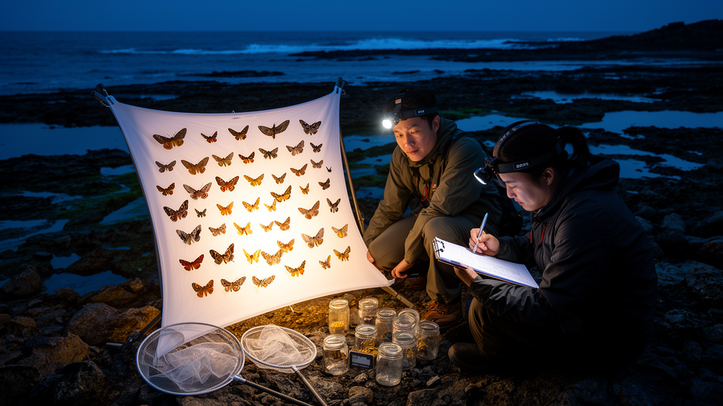
Moths were chosen as the survey’s focal group for good reason. With more than 160,000 described species worldwide, they are among the most taxonomically diverse insect groups, and they perform key ecological roles as herbivores, pollinators and prey for a wide range of vertebrates, threading through ecosystem functioning and trophic interactions. Their sheer diversity, the efficiency with which they can be sampled using light traps, and their close associations with environmental conditions also make them sensitive indicators for biodiversity monitoring and environmental change. A single portable ultraviolet light trap, equipped with a 22-watt UV lamp powered by a 7.2 Ah, 12-volt lead-acid battery, was placed at each survey point, with traps operating from dusk for five hours under suitable weather conditions, avoiding heavy rain, strong winds and full moons.
Specimens were euthanised with dichlorvos, stored in paper bags and kept at minus 22 degrees Celsius before identification. Species identifications followed established taxonomic keys and literature, conducted primarily by the first author, with confirmations where necessary through examination of genitalia and DNA barcoding of the mitochondrial Cytochrome oxidase subunit I gene. The nineteen families covered range from large lineages such as Geometridae, Noctuidae, Erebidae, Crambidae and Pyralidae to smaller families including Saturniidae, Sphingidae, Brahmaeidae and Bombycidae. Sampling sites spanned coniferous, evergreen and mixed coniferous-deciduous forests across the islands.
The temporal structure of the dataset is shaped by Korea’s national biodiversity monitoring programme, under which many protected islands are surveyed at roughly five-year intervals. As a result, the number of islands surveyed in any given year ranged from one to ten, and annual sampling effort ranged from one to 65 survey sites. Nineteen islands were surveyed in two or more years, contributing occurrence records from multiple years, while eleven islands were surveyed in a single year, extending the dataset’s spatial reach. The authors are careful to note that these repeated surveys do not necessarily constitute standardised temporal replicates, and that differences in sampling coverage limit direct comparisons of community composition among years, a caveat that any user of the data must take seriously.
Species richness differed substantially among islands, reflecting variation in island size, habitat diversity and survey history. Namhae Island yielded the highest cumulative richness at 670 species, followed by Bogildo with 345, Oenarodo with 339, Geojaedo with 337 and Geogumdo with 312, whereas smaller or less intensively surveyed islands generally supported fewer recorded species. Richness generally increased on larger islands and on islands surveyed repeatedly across multiple years, although the authors emphasise that survey history itself contributed to variation in cumulative species counts, meaning that raw richness figures should not be read as direct measures of true island diversity without accounting for effort.
Rigorous quality control underpins the released data. Species names were standardised against the Korea Taxonomic Serial Number maintained by the National Institute of Biological Resources, with synonymous or outdated names revised and records with ambiguous identifications or unresolved taxonomy excluded. Duplicate entries and records with missing or erroneous geographic information were removed, and sites with no recorded individuals were checked to avoid bias in beta-diversity calculations. Rare species were retained and evaluated for their influence on dissimilarity metrics. The final package comprises four datasets: a site-by-species community matrix with integer abundance counts per sampling unit and no missing cells, taxonomic information for each of the 1,179 species columns including host plant records where known, geographic coordinates and site-level elevations for all 332 sampling sites, and island-level environmental variables covering distance from the mainland, island area and maximum elevation.
The analytical possibilities opened by such a resource are considerable. By integrating species occurrence and abundance data across multiple islands, researchers can rigorously evaluate how island characteristics such as area, isolation and elevational heterogeneity influence biodiversity patterns and community structure, making the dataset well suited for testing predictions of island biogeography theory and other macroecological frameworks. The broad spatial coverage across two marine national parks, combined with the 2007 to 2025 temporal span, also supports investigations of species’ ecological niches, habitat associations and geographic distributions, including quantification of niche breadth and assessment of species-specific responses to environmental variation and climate change. Time-resolved occurrence records further enable phenological analyses of seasonal activity patterns and long-term shifts in species occurrence.
At the community level, the dataset facilitates analyses of both spatial and temporal beta diversity, allowing researchers to quantify species turnover, nestedness and community re-assembly across islands and years, and thereby to probe the relative roles of environmental filtering, dispersal limitation and stochastic processes in shaping island communities. Beyond fundamental research, the authors position the resource as a baseline for long-term biodiversity monitoring and conservation planning, with applications ranging from regional and national species inventories and checklists to Red List assessments, identification of vulnerable island ecosystems, evaluation of community resilience and the development of evidence-based management strategies under ongoing environmental change. For a country whose uninhabited islands remain small, numerous and close to the mainland, a standardised, openly licensed record of nearly two decades of moth diversity offers a rare and durable foundation for understanding how insular life persists, shifts and responds as environments change.
Subject of Research: A long-term moth biodiversity dataset from 30 islands in southern South Korea
Article Title: A multi-year (2007-2025) moth community dataset across the islands of southern South Korea
Article References: Choi, S.-W., Han, T., Park, C.-G., Jo, S.-Y., & Lee, J.-Y. (2026). A multi-year (2007-2025) moth community dataset across the islands of southern South Korea. Biodiversity Data Journal, 14, Article e211519. https://doi.org/10.3897/bdj.14.e211519
Image Credits: AI Generated
Keywords: moths, island biogeography, South Korea, biodiversity monitoring, Lepidoptera, light trapping, national parks, species richness, beta diversity, open data, conservation, phenology
Cite Scienmag News
Margaret Porter. (October 23, 2026). Eighteen-Year Moth Survey Captures 1,179 Species Across South Korean Islands. Scienmag. https://scienmag.com/eighteen-year-moth-survey-captures-1179-species-across-south-korean-islands/
Margaret Porter. "Eighteen-Year Moth Survey Captures 1,179 Species Across South Korean Islands." Scienmag, 23 October 2026, https://scienmag.com/eighteen-year-moth-survey-captures-1179-species-across-south-korean-islands/. Accessed 23 October 2026.
Margaret Porter. "Eighteen-Year Moth Survey Captures 1,179 Species Across South Korean Islands." Scienmag. October 23, 2026. https://scienmag.com/eighteen-year-moth-survey-captures-1179-species-across-south-korean-islands/


