


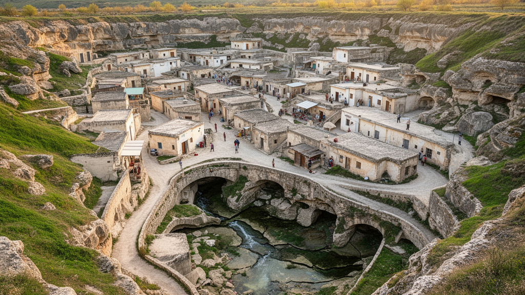
A model-based study of 21 small towns in China’s karst regions found that spatial capacity and utility were more influential than risk-focused measures in coordinating the components of disaster-adaptive landscapes. The analysis assessed statistical data collected from 2016 to 2021 and identified infrastructure utility as the principal bottleneck, while the density of drainage pipes and distance from rivers jointly applied additional pressure to the system.
Karst small towns were examined through a Risk–Spatial–Utility network, which integrates hazard-related coping capacity, available space and the utility provided by urban infrastructure and services. Disaster-adaptive landscapes in this framework include green, blue and open spaces and linear corridors that can mitigate hazards and support evacuation. The study is not a direct test of disaster outcomes; instead, it uses town-level indicators to estimate how the three dimensions interact and where their balance is weakest.
The researchers found that subsystem scores generally rose across the study period. A higher score in the risk subsystem represented stronger socio-ecological and socio-technical coping capacity rather than greater hazard pressure. Taken together with gains in the spatial and utility subsystems, the trend was interpreted as evidence of improved infrastructure support and adaptive capacity. The relationships were nonlinear, with spatial conditions and utility playing dominant roles in coordinated regulation, whereas approaches confined to the risk dimension were less effective in the model.
Spatial resource allocation emerged as a key lever for improving coordination among risk, space and utility. The analysis identified infrastructure utility as the main source of instability in the network. Urbanization indicators—including gross domestic product, urbanization rate and the proportion of impervious area—were associated with greater geological vulnerability. These model-based associations do not establish that the measured factors directly cause changes in disaster resilience, but they identify variables that may help explain where the system is most constrained.
To perform the analysis, the team combined subjective and objective indicator weights through game theory and applied coupling-coordination and obstacle-degree models. ArcGIS Pro and Stata were used for spatial processing and statistical analysis. The results offer a way to compare towns and identify priority areas for strengthening disaster-adaptive landscapes, but their scope is limited to 21 typical karst small towns in China and to the indicators available for 2016–2021. The study does not evaluate the effectiveness of a particular intervention, nor does it directly measure community experience or resilience during a disaster. Its principal contribution is a framework showing that the balance among coping capacity, spatial resources and useful infrastructure depends on nonlinear interactions rather than on any single dimension alone.
Subject of Research: Model-based assessment of risk, spatial capacity and infrastructure utility in karst small towns
Article Title: Risk-spatial-utility interaction mechanism in Karst small Towns’ disaster-adaptive landscapes: based on pressure-state-response and coupling coordination model analysis
Article References: Zhang, G., Wang, S., Wei, G., & Zhou, H. (2026). Risk-spatial-utility interaction mechanism in Karst small Towns’ disaster-adaptive landscapes: based on pressure-state-response and coupling coordination model analysis. Humanities and Social Sciences Communications. https://doi.org/10.1057/s41599-026-09292-4
Image Credits: AI Generated
DOI: 10.1057/s41599-026-09292-4
Keywords: karst towns, disaster resilience, disaster-adaptive landscapes, spatial planning, infrastructure utility, urban hazards, drainage infrastructure, coupling coordination, Risk–Spatial–Utility network, China, Risk-spatial-utility, interaction
Cite Scienmag News
Courtney Benton. (October 22, 2026). Model links spatial capacity and utility to resilience in karst towns. Scienmag. https://scienmag.com/model-links-spatial-capacity-and-utility-to-resilience-in-karst-towns/
Courtney Benton. "Model links spatial capacity and utility to resilience in karst towns." Scienmag, 22 October 2026, https://scienmag.com/model-links-spatial-capacity-and-utility-to-resilience-in-karst-towns/. Accessed 22 October 2026.
Courtney Benton. "Model links spatial capacity and utility to resilience in karst towns." Scienmag. October 22, 2026. https://scienmag.com/model-links-spatial-capacity-and-utility-to-resilience-in-karst-towns/


