


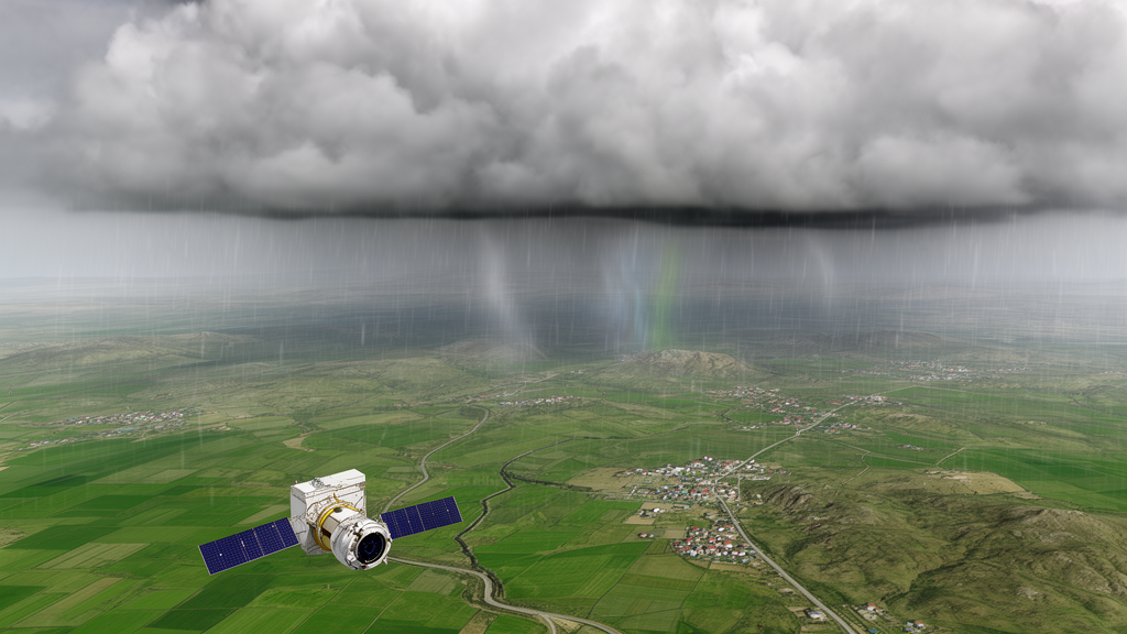
A case study in Kalar district, in the Kurdistan Region of Iraq, found that satellite-based precipitation estimates could augment an incomplete ground-station record and support statistical analysis of extreme annual rainfall. Researchers analyzed daily rainfall data from 1990 through 2023, a 34-year period representing Kalar’s transitional semi-arid climate. Missing values accounted for 4.7% of the historical record overall and 12.3% during 1990–1999, the particularly data-scarce decade.
To address those gaps, the study combined the historical observations with precipitation products from NASA’s POWER satellite dataset. The researchers first evaluated the augmentation method against the available ground records. The comparison produced a strong relationship, with an R² of 0.9454 and a regression slope of 0.951.
These results indicate that the satellite-based values closely reproduced the measured rainfall record wherever direct comparisons could be made. The study then used the combined series to construct annual total rainfall aggregates for extreme-value analysis. To estimate rainfall return periods, the researchers fitted both Gumbel and Generalized Extreme Value, or GEV, distributions to the annual totals.
Kolmogorov–Smirnov and Anderson–Darling statistical tests favored the GEV model. Its Anderson–Darling value was 0.354, compared with 0.381 for Gumbel. The authors associated the superior fit with the GEV distribution’s ability to capture the heavy-tailed behavior of the region’s erratic precipitation.
These are model comparisons based on the Kalar record; the reported results do not establish that the same distribution will provide the best fit for other districts or climatic settings. The GEV model estimated a 100-year return-period annual rainfall total of 778.6 mm for Kalar, with a 95% confidence interval extending from 690.0 mm to 895.0 mm. This is a statistical estimate of an unusually wet annual rainfall total, not a direct observation of an event that has already occurred.
The analysis also revealed a widening disparity between extremely wet and dry years. The authors described this pattern as consistent with broader climate-change projections for the Eastern Mediterranean, but the case study alone does not quantify how much of Kalar’s historical variability is attributable to climate change or determine how future rainfall totals will evolve. The study’s scope is explicitly local: it covers Kalar district in the Garmian region, and the authors note that the results remain specific to the area’s local topography.
The work demonstrates a validated framework for combining NASA/POWER precipitation estimates with incomplete station records and then applying extreme-value models to annual rainfall. The findings may inform water-resource management, reservoir design, and drought-resilience planning in similar data-scarce environments, but the reported estimates should not be treated as continent-wide values or automatically transferred to regions with different rainfall regimes and physical settings.
Subject of Research: Satellite-assisted extreme-rainfall analysis in Kalar district, Kurdistan Region
Article Title: Integrating satellite observations for annual rainfall frequency analysis in data-scarce semi-arid regions: a case study of Kalar district, Kurdistan Region
Article References: Hussein, S. S., & Abdulla, F. R. (2026). Integrating satellite observations for annual rainfall frequency analysis in data-scarce semi-arid regions: a case study of Kalar district, Kurdistan Region. Theoretical and Applied Climatology, 157(11), Article 734. https://doi.org/10.1007/s00704-026-06665-2
Image Credits: AI Generated
DOI: 10.1007/s00704-026-06665-2
Keywords: rainfall extremes, satellite precipitation, NASA POWER, Kalar district, Kurdistan Region, semi-arid climate, extreme-value modeling, GEV distribution, water-resource planning, Garmian region, Integrating, satellite
Cite Scienmag News
Violet Maxwell. (October 21, 2026). Integrating satellite observations for annual rainfall frequency analysis in Kalar district. Scienmag. https://scienmag.com/integrating-satellite-observations-for-annual-rainfall-frequency-analysis-in-kalar-district/
Violet Maxwell. "Integrating satellite observations for annual rainfall frequency analysis in Kalar district." Scienmag, 21 October 2026, https://scienmag.com/integrating-satellite-observations-for-annual-rainfall-frequency-analysis-in-kalar-district/. Accessed 21 October 2026.
Violet Maxwell. "Integrating satellite observations for annual rainfall frequency analysis in Kalar district." Scienmag. October 21, 2026. https://scienmag.com/integrating-satellite-observations-for-annual-rainfall-frequency-analysis-in-kalar-district/


