


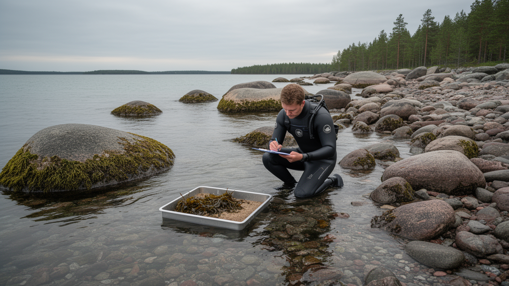
A pilot study produced the first marine ecosystem extent and condition accounts for Finland under the System of Environmental-Economic Accounting–Ecosystem Accounting (SEEA EA). The research combined habitat data from the Marine Strategy Framework Directive (MSFD), the EU Habitats Directive and the IUCN Red List of Ecosystems with Water Framework Directive (WFD) condition assessments. Its results show that the environmental policies can provide a foundation for marine ecosystem accounting, while also revealing limits in current data, classification and reporting systems.
SEEA EA is an integrated statistical framework for organizing biophysical data, measuring ecosystem services and tracking changes in ecosystem extent and condition. Within the framework, ecosystem assets are contiguous, mappable areas of a specific ecosystem type, and the area in which an account is compiled defines which assets are included. Extent and condition together describe an ecosystem asset’s capacity to provide services. The pilot did not estimate the monetary value of those services; instead, it established a baseline for accounts covering the extent and condition of Finnish marine habitats.
The researchers calculated extents for 15 MSFD benthic broad habitat types. These categories span deep circalittoral, shallow circalittoral and infralittoral zones and include hard, coarse, sandy, muddy and mixed substrates. They also used six Finnish marine habitat types recognized under Annex I of the Habitats Directive: Boreal Baltic narrow inlets, coastal lagoons, estuaries, large shallow inlets and bays, sandbanks and reefs. The third classification comprised 19 nationally assessed threatened habitat types based on the IUCN Red List of Ecosystems criteria. These Red List habitats are defined by dominant biota, including habitat-forming algae, seagrasses and invertebrates, and are more detailed than the MSFD and Habitats Directive classes.
MSFD and Habitats Directive habitats were mapped as polygons, and their areas were calculated in hectares. For the 19 Red List habitats, the study used predicted occurrence probabilities from a previously published species-distribution modelling approach based on biological surveys. Predictions were converted to binary maps at a 20-by-20-metre resolution using a threshold selected to maximize sensitivity and specificity. Because several habitat types can occur within the same 400-square-metre grid cell, the researchers reported Red List habitat areas as “extent units,” defined as the number of grid cells in which a habitat was predicted to occur. These units can overlap and do not cover the entire accounting area, so they are not directly comparable with the hectare-based MSFD and Habitats Directive totals.
Ecosystem condition was derived from Finland’s 2021 WFD status assessment, which primarily uses biological indicators supplemented by physico-chemical and hydrological-morphological measures. Finland’s marine area is divided into 276 WFD areas, with ecological status classified as high, good, moderate, poor or bad. The assessment draws mainly on monitoring data from 2012–2017, with some data from 2018. Habitat condition was assigned by calculating the overlap between each habitat and the relevant WFD area. Condition could not be evaluated for habitats extending into the exclusive economic zone, places where coastlines did not align fully with WFD areas, or areas lacking biological or physico-chemical data; only their extents were reported for those areas.
Shallow, circalittoral, mixed and muddy substrate habitats had the greatest combined MSFD extent. The total area represented by MSFD habitats was approximately ten times the area represented by Habitats Directive habitats. The Red List estimates could not be compared directly with those hectare totals. The filamentous annual algae habitat was predicted to occur in more than 12 million extent units, while the red algae habitat was predicted to occur in more than 9.5 million extent units.
A large portion of the assessed habitats was in poor condition regardless of the classification used. Estuaries in the inner archipelago and shallow nearshore habitats, including lagoons and benthic habitats characterised by Hippuris, were in poor condition. Habitats in deeper and more exposed areas, including reefs and benthic habitats characterised by red algae, were in better condition. Overall, MSFD habitats were generally in moderate condition apart from shallow and circalittoral muddy areas. The authors associated the poor condition of nearshore habitats with the eutrophication status of Finland’s coastal waters. Agriculture was identified as the primary source of nutrient loading in most of Finland, while natural runoff and forestry dominated in the Bothnian Bay.
The pilot also identified structural limitations in applying SEEA EA to marine environments. The framework requires ecosystem assets to be geographically and conceptually exhaustive and exclusive, but marine habitats often occur in patchy, overlapping distributions. Most habitat maps also rely on modelling because direct seabed mapping is expensive. Red List extent units capture fine-scale and irregular habitat patterns more closely than mutually exclusive area classes, but overlapping units can create double-counting risks, while unrepresented areas leave gaps that may underestimate ecosystem services. Habitats Directive classes cover only part of Finland’s marine ecosystems and are primarily based on morphological or geological characteristics, making them poor surrogates for marine biodiversity. Only a small portion of Finnish marine habitats is compatible with the coarser IUCN Global Ecosystem Typology.
Further limitations concern geographic coverage, indicators and comparability. The WFD concentrates mainly on coastal waters and does not assess offshore areas, while Finland’s six MSFD reporting areas are less detailed than its 276 WFD areas. The six-year WFD reporting cycle may also be slow relative to changes in rapidly warming surface waters, although some variables, including chlorophyll a measured through Earth observation, can support annual assessment. The study covered only 19 Red List habitats, omitted fauna-based habitats for which biomass data are limited, and excluded shoreline reed habitats. It concentrated on eutrophication-related condition, although coastal land use and offshore industrial activities also exert pressure on marine ecosystems. The Finnish pilot therefore provides a detailed baseline where suitable data exist, but its classifications and condition indicators do not yet form a complete or fully comparable marine account.
Subject of Research: Pilot marine ecosystem extent and condition accounts for Finnish marine habitats using EU policy classifications and WFD indicators
Article Title: Marine ecosystem extent and condition pilot accounts for Finland
Article References: Virtanen, E., Forsblom, L., Saikkonen, L., Jernberg, S., Viitasalo, M., & Kulmala, S. (2024). Marine ecosystem extent and condition pilot accounts for Finland. One Ecosystem, 9, Article e138839. https://doi.org/10.3897/oneeco.9.e138839
Image Credits: AI Generated
Keywords: marine ecosystem accounting, SEEA EA, Finland, ecosystem extent, ecosystem condition, Marine Strategy Framework Directive, Water Framework Directive, Habitats Directive, IUCN Red List of Ecosystems, marine habitats, Marine, ecosystem
Cite Scienmag News
Gavin Prescott. (October 20, 2026). Marine ecosystem extent and condition pilot accounts for Finland. Scienmag. https://scienmag.com/marine-ecosystem-extent-and-condition-pilot-accounts-for-finland/
Gavin Prescott. "Marine ecosystem extent and condition pilot accounts for Finland." Scienmag, 20 October 2026, https://scienmag.com/marine-ecosystem-extent-and-condition-pilot-accounts-for-finland/. Accessed 20 October 2026.
Gavin Prescott. "Marine ecosystem extent and condition pilot accounts for Finland." Scienmag. October 20, 2026. https://scienmag.com/marine-ecosystem-extent-and-condition-pilot-accounts-for-finland/


