


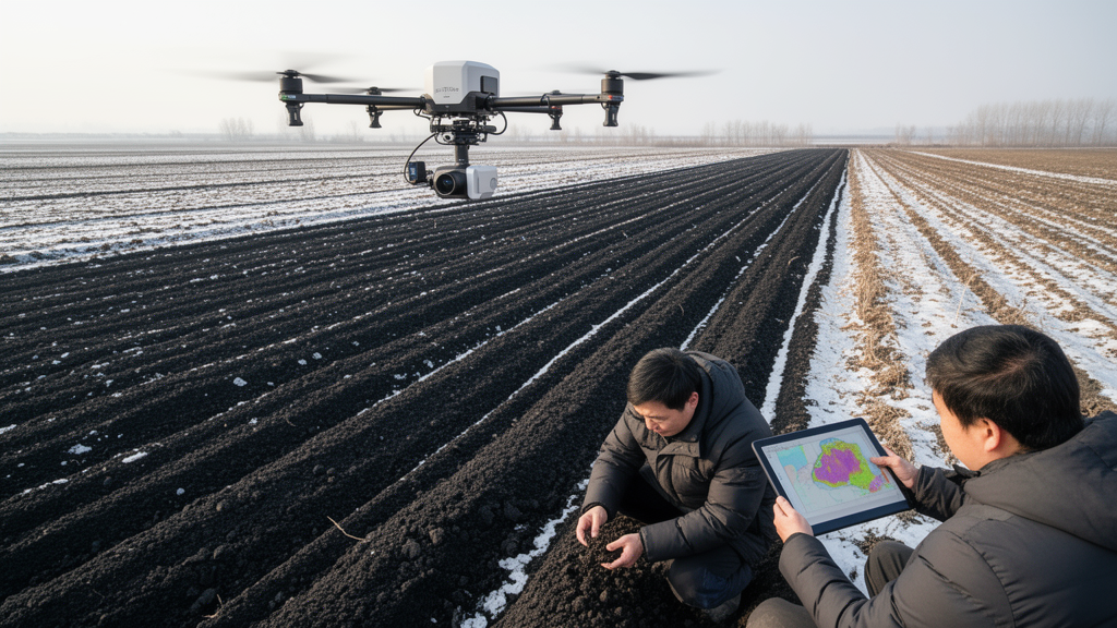
Machine-learning models that combined laboratory soil spectra with satellite and environmental data improved the mapping of soil organic carbon across croplands in Northeast China. In the study, random forest achieved an R² of 0.61 when it used environmental covariates together with hyperspectral-informed variables, compared with 0.44 for a model based on satellite multispectral data alone. The results indicate that direct laboratory measurements can add useful spatial information to large-scale soil carbon maps, even when conventional environmental factors remain the strongest individual predictors.
Researchers collected 647 topsoil samples from croplands across Northeast China and measured their visible-to-near-infrared, or Vis–NIR, hyperspectral signatures in the laboratory. They tested three machine-learning algorithms: random forest, extreme gradient boosting and light gradient boosting machine. Each model incorporated combinations of environmental covariates, satellite multispectral measurements, spectral indices and moving-window averages derived from satellite data. The researchers also developed hyperspectral-informed intermediate variables by spatially mapping principal components calculated from the laboratory spectra.
This approach was designed to address a central limitation in regional soil mapping: commonly used environmental variables and multispectral satellite observations may not contain enough information to predict soil organic carbon accurately across large areas. By transforming laboratory hyperspectral measurements into variables that could be used within spatial models, the team sought to retain information about the soils themselves while extending predictions beyond the sampling locations. The study was limited to cropland and topsoil between 0 and 20 centimetres below the surface, so the findings apply specifically to that soil layer and land-use setting rather than to all soils in the region.
All three machine-learning methods produced broadly similar spatial patterns. Soil organic carbon was predicted to be relatively high in northern and northeastern parts of the study area and low in the west and southwest. Adding multisource satellite data, spectral indices and moving-window averages improved prediction performance compared with models using satellite multispectral covariates alone. For the random forest model, R² increased from 0.44 to 0.55, representing an 11% improvement in the study’s comparison. The strongest result came from combining environmental covariates with the hyperspectral-informed intermediate variables, which raised the random forest R² to 0.61.
Variable-importance analysis showed that environmental conditions remained the dominant contribution to the predictions. Mean annual temperature accounted for 32% of the total variable importance, making it the leading individual predictor. The hyperspectral-informed intermediate variable PC2 supplied an additional 16%. This result demonstrates the complementary value of incorporating laboratory spectral information: the temperature measurements were the strongest measured predictor, but the spatialized spectral component also contributed materially to the model. The analysis does not establish that these relationships will remain unchanged in other seasons, soil types or regions, and the models require further evaluation before their maps are treated as universally applicable.
Overall, the study presents a practical route for improving soil organic carbon maps without relying exclusively on coarse satellite multispectral information. Its central technical advance is the conversion of laboratory Vis–NIR hyperspectral measurements into spatially represented intermediate variables that can be combined with environmental and remote-sensing covariates. Within Northeast China’s croplands, that combination produced more accurate predictions than satellite data alone, while preserving a clear geographic pattern of higher carbon in the north and northeast and lower carbon in the west and southwest. The work also shows why field spectroscopy can be useful in digital soil mapping: measured spectral information can be translated into a form that machine-learning systems can apply over a much larger landscape.
Subject of Research: Improving soil organic carbon mapping in Northeast Chinese croplands with hyperspectral-informed machine learning
Article Title: Enhancing soil organic carbon mapping in Northeast China by incorporating laboratory-based soil hyperspectral measurements into spatial covariates and machine learning
Article References: Yan, G., Chen, J., Xie, E., Zhang, Y., Zou, T., He, J., Tian, K., Hu, W., Zeng, Y., & Zhao, Y. (2026). Enhancing soil organic carbon mapping in Northeast China by incorporating laboratory-based soil hyperspectral measurements into spatial covariates and machine learning. Environmental Monitoring and Assessment, 198(11), Article 1231. https://doi.org/10.1007/s10661-026-16089-0
Image Credits: AI Generated
DOI: 10.1007/s10661-026-16089-0
Keywords: soil organic carbon, hyperspectral imaging, machine learning, random forest, remote sensing, Northeast China, cropland soils, environmental monitoring, spectral variables, digital soil mapping, Enhancing, soil
Cite Scienmag News
Violet Maxwell. (October 20, 2026). Hyperspectral data improves machine-learning maps of Northeast China’s soil carbon. Scienmag. https://scienmag.com/hyperspectral-data-improves-machine-learning-maps-of-northeast-chinas-soil-carbon/
Violet Maxwell. "Hyperspectral data improves machine-learning maps of Northeast China’s soil carbon." Scienmag, 20 October 2026, https://scienmag.com/hyperspectral-data-improves-machine-learning-maps-of-northeast-chinas-soil-carbon/. Accessed 20 October 2026.
Violet Maxwell. "Hyperspectral data improves machine-learning maps of Northeast China’s soil carbon." Scienmag. October 20, 2026. https://scienmag.com/hyperspectral-data-improves-machine-learning-maps-of-northeast-chinas-soil-carbon/


