


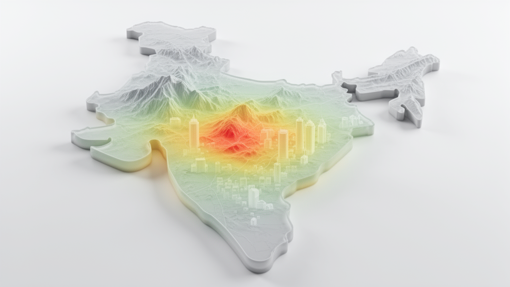
A probabilistic assessment of seismic energy demand across the Indian subcontinent identifies relatively high modeled hazard along the Himalayan arc, the Indo-Burma ranges and the Andaman–Nicobar Islands, while the Peninsular Shield shows comparatively lower hazard. The study, published in Natural Hazards , also divides India into five seismic-energy zones and develops design-specific energy spectra for different site classes. Earthquake-resistant design commonly uses force-based methods, but the authors argue that these approaches do not fully capture the cumulative effects of ground motion on structures.
Their alternative incorporates input-energy demand into the seismic design procedure. Using an updated earthquake catalogue, the researchers conducted a Probabilistic Earthquake Hazard Assessment for the Indian subcontinent and represented epistemic uncertainty with a logic-tree framework. Three region-specific energy-based ground-motion models represented the Himalayan active crustal region, the Indo-Burma subduction zone and the stable continental region of Peninsular India.
The assessment generated energy-based hazard curves for major Indian cities. To represent local geological variation, the researchers derived site-amplification factors for metamorphic, alluvium and sediment formations using the Horizontal-to-Vertical Spectral Ratio, or HVSR, method. Energy-based uniform hazard maps were then prepared at several natural periods for a return period of 2,475 years.
These maps delineate the high-hazard regions along the Himalayan arc, through the Indo-Burma ranges and around the Andaman–Nicobar Islands, with relatively lower hazard mapped across the Peninsular Shield. The final proposed zone map classifies the Indian landmass into five distinct seismic-energy zones and provides corresponding design specific energy spectra for each site class. The paper presents a national-scale modeling framework rather than a direct assessment of earthquake losses, structural performance or the number of buildings exposed to damaging shaking.
The supplied study abstract does not report numerical energy-demand values for individual cities, field validation against earthquake damage, or evidence that the proposed spectra will improve structural outcomes. Its maps and design spectra are model-based products whose interpretation depends on the earthquake catalogue, assumptions within the regional energy-based ground-motion models, the logic-tree treatment of uncertainty and the site-amplification factors derived for the three formation types. Within those limits, the study links regional ground-motion modeling, probabilistic hazard assessment, local site characterization and energy-based design into a single set of maps and spectra for India.
It is intended to provide a basis for evaluating structural seismic design against input-energy demand across the country’s varied seismotectonic and geological settings. The principal reported result is therefore a modeled hazard pattern: higher energy-hazard regions along the Himalayan arc, the Indo-Burma ranges and the Andaman–Nicobar Islands, and relatively lower values in the Peninsular Shield, organized into five proposed seismic-energy zones.
Subject of Research: Probabilistic mapping of earthquake input-energy demand for structural design across India
Article Title: Specific energy earthquake hazard of India for energy-based design of structures
Article References: Pathak, A. K., Gurjar, N., Raghukanth, S. T. G., & Murty, C. V. R. (2026). Specific energy earthquake hazard of India for energy-based design of structures. Natural Hazards, 122(22), Article 685. https://doi.org/10.1007/s11069-026-08476-0
Image Credits: AI Generated
DOI: 10.1007/s11069-026-08476-0
Keywords: earthquake energy hazard, input energy, seismic design, probabilistic hazard assessment, Himalayan arc, Indo-Burma ranges, Andaman–Nicobar Islands, Peninsular India, ground-motion models, site amplification, Specific, energy
Cite Scienmag News
Violet Maxwell. (October 20, 2026). Model maps India’s earthquake energy hazard for structural design. Scienmag. https://scienmag.com/model-maps-indias-earthquake-energy-hazard-for-structural-design/
Violet Maxwell. "Model maps India’s earthquake energy hazard for structural design." Scienmag, 20 October 2026, https://scienmag.com/model-maps-indias-earthquake-energy-hazard-for-structural-design/. Accessed 20 October 2026.
Violet Maxwell. "Model maps India’s earthquake energy hazard for structural design." Scienmag. October 20, 2026. https://scienmag.com/model-maps-indias-earthquake-energy-hazard-for-structural-design/


