


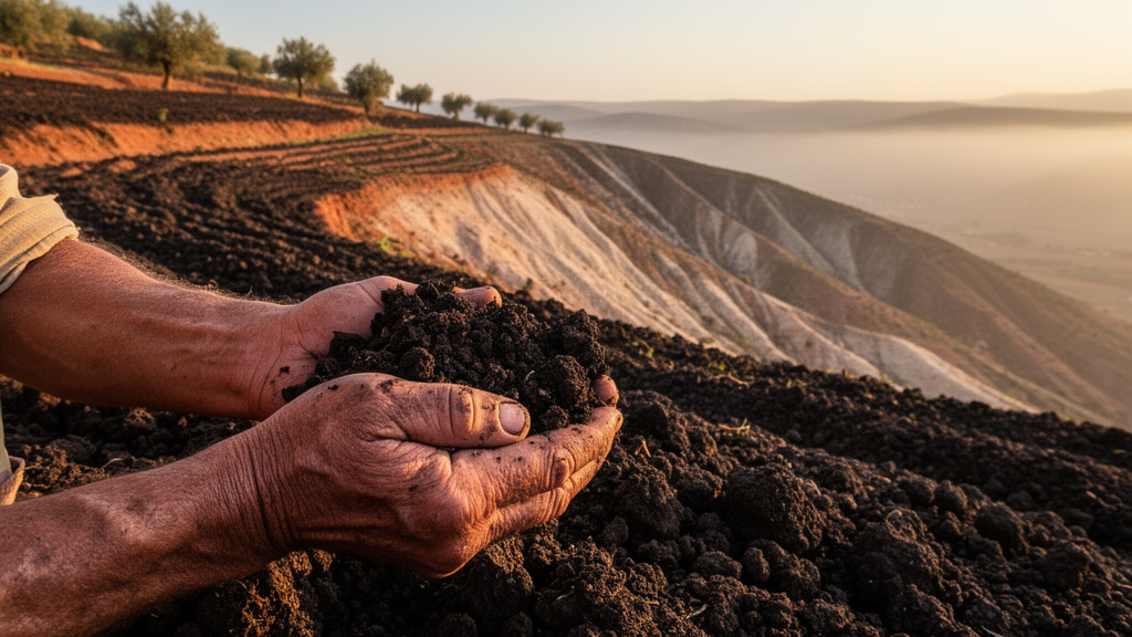
Soil scientists have long warned that the Mediterranean basin is losing its most fundamental agricultural asset at an alarming rate, and a new study from northern Morocco now shows exactly where the ground is most likely to give way. Researchers from Sidi Mohamed Ben Abdellah University in Fez have produced the first detailed map of intrinsic soil erodibility for the El Harrar watershed, an 89-square-kilometer catchment in the Eastern Pre-Rif hills, revealing that nearly a quarter of the terrain consists of soils that are exceptionally vulnerable to being torn loose and carried away by rainfall and runoff. The work, published in Frontiers in Soil Science, shifts the analytical focus from how fast soil is being lost to why certain soils resist erosion while others surrender to it, a distinction the authors argue is essential for targeting conservation where it matters most.
Water erosion is not an abstract threat in this part of the world. Roughly 40 percent of Moroccan land is threatened by the process, and the Rif Mountains, which occupy just 6 percent of the national territory, contribute about 60 percent of the sediment reaching the country’s reservoirs. According to Morocco’s National Watershed Management Plan, annual soil losses exceed 20 tonnes per hectare per year in the Rif proper and fall between 10 and 20 tonnes per hectare per year in the Pre-Rif transition zone where the El Harrar catchment lies. The study’s authors, Bahija Filal, Mohammed Abahrour and Mostafa Hmamouchi, note that these figures reflect the interaction of steep dissected relief, fragile clay and sandstone geology, sparse natural vegetation and intensive agricultural exploitation concentrated on hillsides, a combination that makes the region one of the most erosion-prone landscapes in the Mediterranean.
The team’s approach centered on the soil erodibility factor, known in erosion science as the K factor, which expresses a soil’s inherent susceptibility to particle detachment and transport by rainfall and surface runoff. Unlike rainfall erosivity or slope steepness, the K factor is a property of the soil itself, determined by texture, organic matter content, structure and permeability. The researchers drew on the Wischmeier nomograph, a method developed in the early 1970s that relates these four soil characteristics through a texture parameter calculated as the product of silt plus very fine sand content and the complement of clay content, combined with USDA-based codes for soil structure and permeability classes. Structure codes range from very fine granular to blocky arrangements, while permeability codes span from rapid infiltration exceeding 60 millimeters per hour to very slow rates below 1 millimeter per hour.
To apply this framework across the watershed, the team digitized seven major soil units from the 1:50,000 Taza Soil Map into ArcGIS Pro: Lithosols, Regosols, weakly developed alluvial soils, weakly developed colluvial soils, Vertisols, calcimagnesic soils and Fersiallitic soils. Because the El Harrar watershed forms part of the larger Oued Lahdar basin, the researchers were able to assign previously published physicochemical data and K-factor values from that basin to the corresponding soil classes identified on the map. The matching procedure was verified through field observations and high-resolution satellite imagery, though the authors acknowledge that relying on legacy analytical data means the assessment operates at the soil-unit level rather than from fresh laboratory measurements of individual samples.
The resulting erodibility map reveals a striking spatial divide. Calcimagnesic soils, which cover 45.15 percent of the watershed, show the lowest erodibility with a K value of 0.23, thanks to relatively high organic matter content of 2.01 percent and clay content of 38.5 percent. At the opposite extreme, Fersiallitic soils occupying 23.78 percent of the catchment on the slopes of Jbel En nehir register the highest erodibility at K = 0.46, reflecting their lower organic matter of 0.95 percent and reduced clay fraction of 28.4 percent. Between these poles, moderate erodibility characterizes colluvial soils and Lithosols covering 14.64 percent of the area, while high erodibility marks Vertisols, alluvial soils and Regosols that together span 16.44 percent, distributed along stream banks and in the southern portion of the watershed.
Statistical analysis of the seven soil units confirmed the physicochemical logic behind these patterns. Organic matter showed the strongest negative correlation with the K factor at R = −0.70, indicating that soils rich in organic matter are substantially more resistant to particle detachment. Clay content followed with R = −0.43, consistent with the role of clay particles in promoting cohesion and structural stability. The silt plus very fine sand fraction showed only a weak negative correlation at R = −0.19. The authors emphasize that these coefficients, calculated from representative values for just seven mapped soil units, should be read as exploratory indicators of soil-unit-level trends rather than causal proof, and they call for additional field sampling and laboratory work to strengthen the statistical evidence.
Field observations provided tangible confirmation of the mapped patterns. In areas classified as highly and very highly erodible, the researchers documented rill erosion, gully erosion, bank erosion and slope degradation, aligning the intrinsic K-factor map with visible on-the-ground erosion features. The observed K range of 0.23 to 0.46 sits within the spectrum reported for other watersheds in northern Morocco, including values of 0.00 to 0.58 in the El Maleh catchment and 0.27 to 0.46 in the Ghrala watershed, though it is narrower than the ranges of 0.10 to 0.82 and 0.11 to 0.82 reported for the Amzaz and Asra watersheds respectively. The authors attribute these differences to variations in parent material, soil composition, topography and land cover that directly shape how erodibility is distributed across landscapes.
The findings carry practical weight for land managers grappling with soil degradation in the Eastern Pre-Rif. Because organic matter emerges as the single most influential property governing erodibility in this catchment, conservation strategies that boost soil organic content, whether through organic amendments, vegetation cover restoration or reduced tillage, would directly strengthen the structural stability of the most vulnerable soils. The authors also recommend protecting and rebuilding vegetation on cultivated slopes, constructing and maintaining terraces where agriculture persists on steep terrain, and incorporating soil erodibility maps into territorial planning and environmental decision-making to ensure that limited conservation resources are directed toward the areas where they will yield the greatest benefit.
Beyond its regional significance, the study contributes to a broader scientific conversation about how intrinsic soil properties interact with climatic and anthropogenic pressures to determine erosion outcomes. Previous research has shown that increasing organic matter improves aggregate stability, strengthens bonding between particles and enhances infiltration, all of which reduce the ease with which rainfall and runoff can detach and transport soil. Clay content can similarly benefit cohesion and structural stability, though its contribution depends on clay mineralogy and interactions with other soil properties. By mapping the K factor and linking it statistically to the physicochemical characteristics that underlie it, the El Harrar study offers a template for watershed-scale assessments elsewhere in the Mediterranean and beyond, demonstrating that understanding why soils differ in their resistance to erosion is as important as measuring how fast they are being lost.
The authors conclude that the soil erodibility map of the El Harrar watershed provides a scientific basis for incorporating soil physicochemical information into erosion risk assessment and land management strategies in the Eastern Pre-Rif. As Mediterranean countries confront intensifying erosion pressures under changing climate and land-use regimes, the ability to identify priority areas for soil conservation at the soil-unit level, rather than relying solely on modeled soil-loss rates, represents a meaningful advance in the toolkit available to safeguard one of the region’s most threatened natural resources.
Subject of Research: Mapping the spatial variability of soil erodibility based on physicochemical properties in the El Harrar watershed, Eastern Pre-Rif, Morocco
Article Title: Mapping soil vulnerability based on the soil erodibility factor (K) in the El Harrar Watershed (Eastern Pre-Rif, Morocco)
Article References: Filal, B., Abahrour, M., & Hmamouchi, M. (2026). Mapping soil vulnerability based on the soil erodibility factor (K) in the El Harrar Watershed (Eastern Pre-Rif, Morocco). Frontiers in Soil Science, 6, Article 1891092. https://doi.org/10.3389/fsoil.2026.1891092
Image Credits: AI Generated
DOI: 10.3389/fsoil.2026.1891092
Keywords: soil erodibility factor, K factor, water erosion, El Harrar watershed, Eastern Pre-Rif, Morocco, organic matter, clay content, GIS mapping, soil conservation, Mediterranean soils, Wischmeier nomograph
Cite Scienmag News
Violet Maxwell. (October 17, 2026). Soil Organic Matter Emerges as Key Shield Against Erosion in Fragile Moroccan Watershed. Scienmag. https://scienmag.com/soil-organic-matter-emerges-as-key-shield-against-erosion-in-fragile-moroccan-watershed/
Violet Maxwell. "Soil Organic Matter Emerges as Key Shield Against Erosion in Fragile Moroccan Watershed." Scienmag, 17 October 2026, https://scienmag.com/soil-organic-matter-emerges-as-key-shield-against-erosion-in-fragile-moroccan-watershed/. Accessed 17 October 2026.
Violet Maxwell. "Soil Organic Matter Emerges as Key Shield Against Erosion in Fragile Moroccan Watershed." Scienmag. October 17, 2026. https://scienmag.com/soil-organic-matter-emerges-as-key-shield-against-erosion-in-fragile-moroccan-watershed/


