


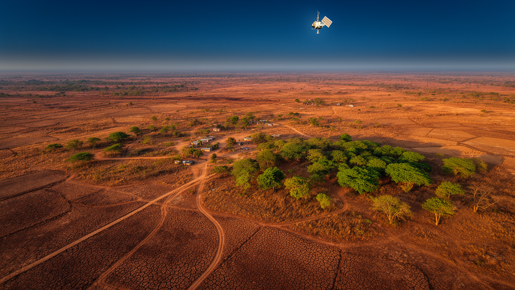
In the semi-arid town of Wudil, in Nigeria’s Kano State, the landscape is quietly telling a story of decline. A new study published in Theoretical and Applied Climatology has combined thirty-five years of satellite observations with machine-learning land-use mapping to disentangle the two forces reshaping the region’s vegetation: a warming, drying climate and an expanding human footprint. The findings reveal a landscape under compound stress, where rising temperatures, shrinking rainfall, and relentless land conversion are eroding ecological resilience at a pace that demands urgent intervention.
The research, led by Ibrahim Inuwa Yahaya of Central South University in China and colleagues from institutions across China and Nigeria, focused on Wudil, a local government area whose economy and food security depend heavily on rain-fed agriculture. The team’s core analysis spanned 1986 to 2020, a period long enough to capture both natural climate variability and sustained anthropogenic change. Rather than relying on a single vegetation metric, the researchers deployed a battery of remote-sensing and drought indices, each probing a different dimension of ecosystem health.
At the heart of the analysis sits the Normalized Difference Vegetation Index, or NDVI, the workhorse of satellite vegetation monitoring. NDVI exploits the fact that healthy chlorophyll-rich leaves absorb red light strongly while reflecting near-infrared radiation, so the ratio between these two bands serves as a proxy for green biomass. But greenness alone can be misleading: a landscape can appear green while its vegetation is physiologically stressed. That is why the team paired NDVI with the Normalized Difference Moisture Index and the Normalized Difference Water Index, which trace vegetation and surface water content through complementary spectral signatures, and with the Soil Moisture Index, which estimates water availability in the ground itself.
To capture drought dynamics, the researchers turned to the Vegetation Condition Index, which compares current NDVI against its historical range to flag anomalous stress, and the Standardized Precipitation Evapotranspiration Index, or SPEI. Unlike simpler rainfall-based drought measures, SPEI accounts for atmospheric demand for water by incorporating the balance between precipitation and potential evapotranspiration. In a warming climate, this distinction matters enormously: hotter air pulls more moisture from soils and plants, so even unchanged rainfall can translate into intensifying drought. The indices were analyzed alongside ground-based climatic variables, including temperature, humidity, and precipitation records.
The long-term picture that emerges is unambiguous. Across the 1986 to 2020 window, Wudil experienced a sustained decline in vegetation health and moisture status, alongside increasing drought severity and reduced ecological resilience. The study attributes these trends to a 1.8 degrees Celsius rise in temperature over the study period and an approximately 15 percent decline in annual rainfall. In a semi-arid environment where crops and natural vegetation already operate close to their water limits, a shift of this magnitude fundamentally alters the water balance, pushing ecosystems and farming systems toward thresholds from which recovery becomes progressively harder.
Crucially, the researchers did not treat climate as the sole culprit. The historical record is overlaid with continuing human pressures: urban expansion consuming open land, deforestation stripping woody cover, and agricultural practices that fail to conserve soil and water. The interaction between these forces is what makes the Wudil case scientifically interesting and practically alarming. Climate stress weakens vegetation, making it more vulnerable to clearing and overuse; land-use change, in turn, removes the canopy and root systems that buffer the landscape against drought, creating a feedback loop of degradation.
To examine the most recent phase of this dynamic, the team applied Decision Tree Classification to Landsat 8 Operational Land Imager data for three snapshot years: 2020, 2022, and 2024. Decision trees are supervised machine-learning classifiers that partition the spectral feature space through a series of binary decisions, making them transparent and interpretable compared with more opaque algorithms. This approach allowed the researchers to map five land classes with particular relevance to local livelihoods and policy: street vegetation, forest, built-up land, irrigation land, and fallow land.
The post-2020 assessment revealed a landscape in flux. Street vegetation and irrigated land fluctuated between the snapshot years, suggesting that these categories respond rapidly to short-term economic and climatic pressures, while built-up land remained relatively stable, indicating that the pace of urban consolidation had not dramatically accelerated in the four-year window. The most striking result, however, concerned forest cover: between 2020 and 2024, Wudil lost 14.7 percent of its forest. For a semi-arid region where remaining woody vegetation provides shade, soil stabilization, fuelwood, and habitat, a loss of this magnitude in just four years represents a serious acceleration of the longer-term decline.
The study’s multi-index design carries broader methodological significance. Single-indicator assessments of vegetation change can conflate climatic and anthropogenic signals, because both drivers leave fingerprints on greenness and moisture. By combining vegetation, moisture, water, soil, and drought indices with an independent land-use classification, the researchers built a more robust attribution framework: climate indices track the environmental stress, while the land-use maps track the human restructuring of the surface. The convergence of evidence from both streams strengthens the conclusion that Wudil’s degradation is a compound phenomenon rather than the product of either driver alone.
The authors argue that their findings point to an urgent need for integrated land management, reforestation, climate adaptation, and sustainable urban and agricultural planning in Wudil and comparable semi-arid environments. In practical terms, that means pairing tree-planting and forest protection with water-efficient irrigation, land-use zoning that constrains unplanned expansion, and farming practices designed to conserve scarce moisture. As climate change intensifies across the Sahelian belt and West Africa’s drylands, the Wudil study offers both a warning and a template: satellite-based monitoring that separates climatic stress from human pressure can identify where intervention will matter most, before the window for ecological recovery closes.
Subject of Research: Climatic and anthropogenic drivers of vegetation dynamics in semi-arid Wudil, Nigeria, assessed through multi-index remote sensing and decision tree land-use classification
Article Title: Unraveling the complex nexus of climatic and anthropogenic drivers on vegetation dynamics in Wudil: a multi-index analysis (1986–2020) with decision tree-based land-use assessment (2020–2024)
Article References: Yahaya, I. I., Wang, C., Yahaya, M. S., Ogbue, C. P., Al-Masnay, Y. A., Basiru, H. A., Auwal, A., & Muhammad, A. M. (2026). Unraveling the complex nexus of climatic and anthropogenic drivers on vegetation dynamics in Wudil: a multi-index analysis (1986–2020) with decision tree-based land-use assessment (2020–2024). Theoretical and Applied Climatology, 157(11), Article 723. https://doi.org/10.1007/s00704-026-06654-5
Image Credits: AI Generated
DOI: 10.1007/s00704-026-06654-5
Keywords: vegetation dynamics, remote sensing, NDVI, SPEI, drought, land-use change, deforestation, semi-arid, Nigeria, Landsat, decision tree classification, climate change
Cite Scienmag News
Violet Maxwell. (October 16, 2026). Satellites and Decision Trees Reveal How Climate Stress and Human Pressure Are Degrading a Nigerian Landscape. Scienmag. https://scienmag.com/satellites-and-decision-trees-reveal-how-climate-stress-and-human-pressure-are-degrading-a-nigerian-landscape/
Violet Maxwell. "Satellites and Decision Trees Reveal How Climate Stress and Human Pressure Are Degrading a Nigerian Landscape." Scienmag, 16 October 2026, https://scienmag.com/satellites-and-decision-trees-reveal-how-climate-stress-and-human-pressure-are-degrading-a-nigerian-landscape/. Accessed 16 October 2026.
Violet Maxwell. "Satellites and Decision Trees Reveal How Climate Stress and Human Pressure Are Degrading a Nigerian Landscape." Scienmag. October 16, 2026. https://scienmag.com/satellites-and-decision-trees-reveal-how-climate-stress-and-human-pressure-are-degrading-a-nigerian-landscape/


