


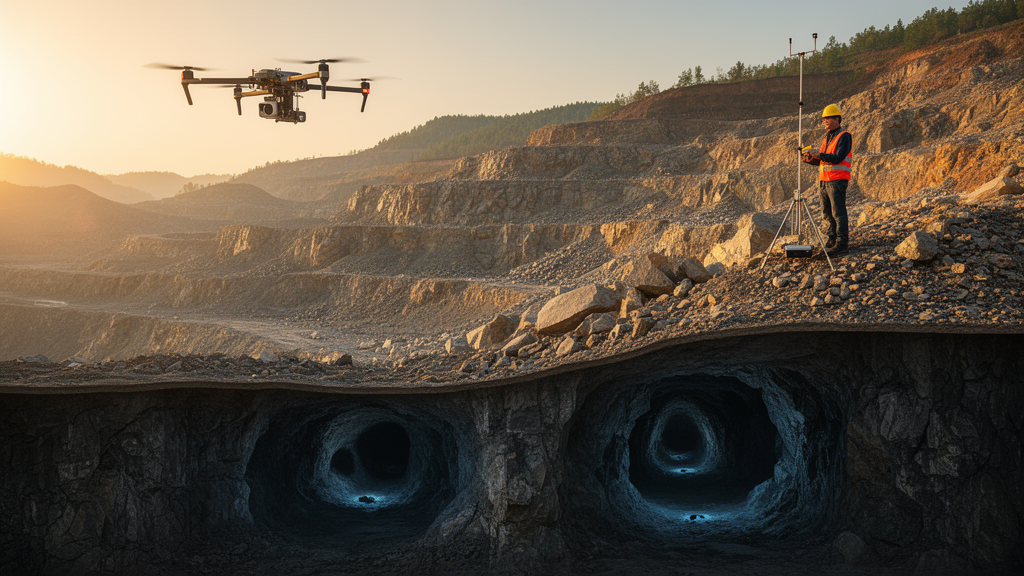
Under the hills of Qinglong Manchu Autonomous County in China’s Hebei Province, geologists have combined drone photography, ground-penetrating radar, and three-dimensional computer modeling to peer into the shallow underground — and what they found there reads like a detective story written in rock. A research team led by Xingbo Shao and Zhihe Xu of the Institute of Disaster Prevention Science and Technology, working with colleagues at the Shenyang Center of the China Geological Survey and partner institutions, has demonstrated a workflow that stitches together surface imagery and subsurface radar echoes into a single digital model of the terrain beneath a mining district. Their target was invisible to the naked eye: shallow cavities and fracture-filled voids that can quietly hollow out the ground above mines and, without warning, trigger dangerous collapses. The results, published in Frontiers in Earth Science, show how an excavation at one predicted target uncovered a dolomite-hosted cave system packed with clay, breccia, and the fossilized remains of ancient mammals.
The motivation behind the study is straightforward but serious. Underground cavities are among the most insidious hazards facing mining regions. When voids form close to the surface — whether by natural dissolution of carbonate rock or by mining-induced disturbance — they remove the ground’s load-bearing capacity. Roads sag, buildings crack, and in the worst cases the surface gives way entirely. Three-dimensional geological modeling has become an essential tool for what the authors call digital mine safety: the effort to represent a mine and its surroundings as a live, queryable digital object in which hazards can be identified before they become disasters. But building a trustworthy 3D model of the shallow subsurface is notoriously difficult, because the data available are usually sparse, irregular, and of very different kinds.
The Qinglong team began by asking a deceptively simple question: which software platform is best suited to the awkward, heterogeneous datasets that shallow cavity work produces? They compared four mainstream packages. Surpac, built around mining exploration and block models, excels at drillhole databases and ore-body wireframing but is less flexible with irregular faults and dissolution voids. Petrel, a petroleum-industry workhorse, shines at seismic interpretation and reservoir simulation but is oriented toward oil and gas rather than shallow mine safety. 3DMine, widely used in Chinese mining engineering, integrates CAD drawing and reserve calculation but demands extra manual preprocessing for geophysical data. GOCAD, short for Geological Object Computer-Aided Design, was ultimately selected because of its Discrete Smooth Interpolation engine and its ability to represent irregular, discontinuous geological objects with triangulated surfaces and unstructured meshes — precisely the geometry that cavity-related anomalies demand. The authors are careful to note that this was not a judgment of overall superiority but a match between platform and problem.
The field campaign that followed was a two-pronged assault on the subsurface. From above, a UAV photogrammetric system flying at 120 to 150 meters captured high-resolution imagery with 80 percent forward and 70 percent side overlap, while a GS-1500N LiDAR system integrated GNSS and inertial navigation to generate georeferenced point clouds. Notably, the team employed GNSS/INS-assisted direct georeferencing without conventional ground control points, an increasingly popular strategy that previous studies have shown can still yield orthomosaics accurate enough for surface mapping. The final orthophoto mosaic achieved a ground sampling distance of roughly 3 to 5 centimeters per pixel — sharp enough to digitize roads, drainage paths, slope breaks, exposed rock, and suspected structural lineaments, all of which would later serve as surface constraints on the 3D model.
From below, ground-penetrating radar did the heavy lifting. The team deployed an RTS-100 wireless GPR system with a 75 MHz antenna, recording traces every 0.2 meters in point-triggered mode, with a 1,067.5-nanosecond time window and RTK differential positioning accurate to about plus or minus 0.05 meters. The survey proceeded in two stages: first, 20 reconnaissance lines between 544 and 1,210 meters long swept the wider area; then, eight detailed lines labeled A through H focused on the most promising zones. Depth conversion relied on an assumed average electromagnetic wave velocity of 0.094 meters per nanosecond, chosen from published values for unsaturated clayey soils and karstic carbonate rocks rather than from a site-specific calibration. The authors confront this uncertainty head-on: a plus-or-minus 10 percent velocity error shifts a 10-meter reflector to somewhere between 9 and 11 meters, and swings the theoretical maximum detection depth between roughly 45 and 55 meters. Horizontal positions, anchored by RTK coordinates, remain fixed; only the vertical dimension breathes with the assumed velocity.
The radar profiles told a coherent geological story. A laterally continuous reflective interface appeared at approximately 10 meters depth across the survey area, interpreted as the boundary between loose Quaternary sediments and the underlying bedrock of the Mesoproterozoic Jixian System. Beneath Line C, a 486-meter profile, a strong anomaly near point C0071 showed continuous high-amplitude reflections and localized diffraction-like responses — classic radar signatures of void-like structures — and was designated Target Zone 1, with an interpreted depth of about 5 to 25 meters. Line D, extending 400 meters, revealed its own prize near point D0090: another high-amplitude anomaly with diffraction features, defined as Target Zone 2 at roughly 3 to 12 meters depth. Other banded anomalies lacking diffractions were interpreted more conservatively as dense rock bodies rather than open spaces.
Fusing these datasets in GOCAD transformed isolated two-dimensional profiles into a unified spatial model. RTK-controlled elevation points defined the terrain surface, over which the orthophoto was draped as a texture. Radar traces were registered to the same framework, and after time-depth conversion, every interpreted subsurface point received an absolute elevation. Discrete Smooth Interpolation built the continuous geological surfaces, while Ordinary Kriging with a spherical variogram interpolated radar-amplitude attributes between the irregularly spaced profiles. Crucially, the team also computed the Kriging variance, producing a map of where the model is well constrained — along and near the measured lines — and where it leans heavily on interpolation. In the resulting 3D attribute model, the suspected cavity-related anomalies appeared as high-amplitude, banded or ring-like bodies clustered in belt-like distributions, several of them adjacent to mapped fault and fracture traces of the regional F3 system within dissolution-prone carbonate strata.
Then came the moment of truth. Field investigation and excavation at Target Zone 2 uncovered an infilled cave-fissure space hosted in dolomite, filled with reddish-brown calcareous clay, angular dolostone breccia, and mammalian fossils. The excavation confirmed that the GPR anomaly corresponded to a real geological cavity structure — though not an air-filled open void. The fossil-bearing infill records a later stage of sedimentation within the cave, exactly the kind of history that fracture-guided groundwater flow and carbonate dissolution can write into dolomite over geological time. The authors are appropriately cautious: they present fracture-controlled karst development as a plausible interpretation supported by prior literature, not a mechanism proven by their own dataset. Target Zone 1, meanwhile, remains unverified, and the team explicitly declines to infer any quantitative detection rate from a single confirmed excavation.
Perhaps the most refreshing aspect of the study is its intellectual honesty about what integrated modeling can and cannot do. The authors emphasize that the orthophoto-GPR-GOCAD workflow provides spatial registration, visualization, and interpretation of anomalies already identified on measured profiles, rather than genuinely new detections between them. Because the actual spacing between detailed profiles ranged from as little as 5.59 meters to about 50 meters depending on terrain and access, a small cavity intersected by a survey line will be found, while one hiding entirely between lines may escape notice. No leave-one-line-out validation was performed, so the predictive accuracy of the interpolation between profiles was not quantified. The principal target locations, however, rest on direct radar observations, and the Kriging-variance analysis gives future users a transparent measure of where the model’s confidence thins out. The researchers recommend denser GPR grids, additional verification points, and complementary methods such as electrical resistivity tomography or shallow seismic surveys to tighten the picture further.
The Qinglong case study offers a template that could travel well beyond northern China. As mining regions worldwide digitize their safety assessments, the combination of low-cost UAV photogrammetry, RTK-anchored radar profiling, and flexible surface-based 3D modeling provides a traceable chain from raw field observation to verified geological target — with uncertainty mapped rather than hidden. In a field where a single uncharted void can cost lives, a workflow that knows exactly where its own blind spots are may be the most valuable instrument of all.
Subject of Research: Integrated 3D geological modeling using orthophoto imagery and ground-penetrating radar for shallow underground cavity detection in a mining area of Qinglong County, China
Article Title: Integrated orthophoto-GPR-GOCAD modeling for shallow cavity detection: a case study in Qinglong County, China
Article References: Integrated orthophoto-GPR-GOCAD modeling for shallow cavity detection: a case study in Qinglong County, China. (n.d.). https://doi.org/10.3389/feart.2026.1915166
Image Credits: AI Generated
DOI: 10.3389/feart.2026.1915166
Keywords: 3D geological modeling, ground-penetrating radar, GOCAD, orthophoto imagery, underground cavity detection, digital mine safety, karst, dolomite, UAV photogrammetry, RTK positioning, Kriging interpolation, Qinglong County
Cite Scienmag News
Violet Maxwell. (October 15, 2026). Hidden Caves Beneath a Chinese Mining Region Revealed by Radar, Drones and 3D Modeling. Scienmag. https://scienmag.com/hidden-caves-beneath-a-chinese-mining-region-revealed-by-radar-drones-and-3d-modeling/
Violet Maxwell. "Hidden Caves Beneath a Chinese Mining Region Revealed by Radar, Drones and 3D Modeling." Scienmag, 15 October 2026, https://scienmag.com/hidden-caves-beneath-a-chinese-mining-region-revealed-by-radar-drones-and-3d-modeling/. Accessed 15 October 2026.
Violet Maxwell. "Hidden Caves Beneath a Chinese Mining Region Revealed by Radar, Drones and 3D Modeling." Scienmag. October 15, 2026. https://scienmag.com/hidden-caves-beneath-a-chinese-mining-region-revealed-by-radar-drones-and-3d-modeling/


