


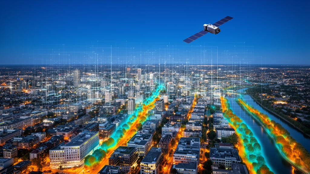
Cities are not simply collections of buildings and roads captured from orbit; they are dense, interconnected systems in which physical landscapes, human activities, environmental processes, and governance structures constantly interact. As global temperatures rise and urban populations swell, the challenge of making cities resilient to heat, flooding, pollution, and carbon-intensive growth has moved from the margins of planning documents to the center of climate policy. A new editorial published in Frontiers in Remote Sensing argues that meeting this challenge requires more than better maps. Written by Sawaid Abbas of the University of The Punjab and The Hong Kong Polytechnic University, Faisal Mueen Qamer of the International Centre for Integrated Mountain Development, and Ali Zia of La Trobe University, the editorial distills lessons from a multi-year Research Topic collection into a single, striking idea: the real value of remote sensing and artificial intelligence lies in building a chain of urban intelligence that runs from observation, through understanding and diagnosis, all the way to intervention.
The authors frame this chain as a progression through distinct levels, beginning with multi-source sensing and ending with outcomes such as low-carbon urban development. At the foundation of that chain sits a deceptively simple question: how well do different Earth-observing systems actually represent the wildly heterogeneous surfaces of a city? A cross-sensor comparison featured in the collection examined imagery from Landsat, Sentinel-2, and the Italian hyperspectral mission PRISMA over the same urban setting. The results dismantled any hope of finding a single best satellite for urban work. Hyperspectral data improved the separation of certain transitional urban-density classes, where fine spectral detail distinguishes surfaces that broadband sensors blur together. Yet those gains proved class-specific and heavily conditioned by spatial resolution, acquisition timing, preprocessing choices, and the behavior of the classifier applied. The takeaway is that sensor selection is not a search for a universally superior platform but a choice among complementary observational strengths, each suited to different urban questions.
Still, spectral, spatial, and temporal information, however carefully combined, describe what a city looks like far more readily than what it does. A second contribution in the collection tackled exactly this gap by integrating high-resolution imagery with nighttime lights, building information, and points and areas of interest to identify urban functional zones in three of China’s largest cities: Beijing, Chengdu, and Shanghai. This fusion of physical and socioeconomic representations pushed overall mapping accuracies above 90 percent, a remarkable figure for a task as conceptually slippery as deciding where a district functions as commercial, residential, industrial, or mixed use. The work draws on a broader current in the literature linking remote sensing with social sensing and semantic information to capture the mixed and probabilistic nature of urban functions, where a single block may simultaneously host housing, retail, and logistics.
But the study also exposed one of the field’s most persistent weaknesses: transferability. When the models trained on one Chinese megacity were applied to another, performance declined markedly, indicating that functional signatures remain tightly bound to local urban structure. A commercial zone in Chengdu does not radiate the same multi-source fingerprint as one in Shanghai. For planners hoping to export mapping tools across borders and climates, the message is sobering. The editorial’s authors treat this not as a failure but as a structural insight: urban functional intelligence is context-laden, and any framework claiming global applicability must explicitly account for how place shapes the relationship between what a city looks like and what it does.
Representation becomes genuinely useful for resilience only when it helps explain environmental processes tied to urban form and function. A seasonal analysis of land surface temperature across four functional zones on Xiamen Island, included in the collection, demonstrated that urban heat is not governed by a single city-wide relationship. The relative influence of geographic position, building density, population density, floor-area ratio, and landscape configuration shifted depending on land use and season. This finding echoes wider evidence that the cooling effects of green infrastructure, and the drivers of urban heat more generally, vary with morphology, season, and location. Recent work modeling wind-driven vegetation cooling through a source-medium-receiver framework reinforces the point that thermal resilience emerges from interactions among heat sources, the urban medium, and receiving populations, not from any one variable.
The practical implication is significant: resilience planning demands spatially differentiated and temporally adaptive analysis rather than universal prescriptions. A recommendation to plant trees along boulevards may cool a coastal district in summer while doing little for a dense inland commercial core in a different season. The Xiamen study’s context dependence suggests that heat mitigation investments should be guided by zone-specific and season-specific models, and that planners should be wary of benchmarks imported from other cities. In an era when climate adaptation budgets are finite and heat waves are intensifying, that nuance could translate directly into saved lives and avoided infrastructure costs.
Analysis, however, only matters if it changes what gets built or governed, and this is where the Research Topic turns from observation to intervention. A quasi-natural-experiment evaluation of China’s AI innovation-pilot-zone policy found that AI-oriented policy can contribute to lower urban carbon emissions through pathways including green technological innovation and environmental regulation. Crucially, the effects were conditioned by enabling factors such as digital infrastructure and financial development; AI policy did not operate in a vacuum. The editorial notes that this finding broadens the role of AI beyond an analytical technique, showing that technological capability can contribute to resilience-related outcomes when embedded in institutions, infrastructure, and policy. It is a rare empirical bridge between the governance layer of urban systems and measurable low-carbon outcomes.
Reading the collection as a whole, the authors extract three lessons that could serve as a manifesto for the next decade of urban GeoAI. First, urban resilience requires multiple representations: no single sensor, dataset, or model can capture a city’s physical, functional, environmental, and socioeconomic complexity at once. Second, context and transferability matter at every stage; sensor performance, functional-zone mapping, thermal drivers, and even policy effectiveness vary with place, season, urban form, and institutional capacity, and models developed in one setting may not transfer cleanly to another. Third, resilience depends on connecting analytical levels: observation alone is insufficient, and value is created only when representation supports understanding, understanding enables diagnosis, and diagnosis informs intervention. Each lesson underscores that the field’s hardest problems are less about raw computing power than about integration and interpretation.
The editorial also looks forward, and here it is candid about what the collection did not achieve. None of the four contributions implemented a geospatial foundation model or an urban digital twin, and the authors explicitly include these elements in their conceptual framework as forward-looking opportunities drawn from the wider literature rather than as accomplishments of the collection itself. Geospatial foundation models, which learn reusable representations from vast and increasingly multimodal geospatial archives, are shifting attention away from bespoke, single-city classifiers toward general-purpose urban intelligence. In parallel, urban digital twins offer environments in which heterogeneous observations, models, simulation, visualization, and feedback can be organized around concrete planning and operational decisions, potentially bridging the stages from sensing to action that the framework describes.
Yet greater technical capability, the authors caution, does not eliminate the need for interpretability, uncertainty communication, and institutional accountability. As model outputs move closer to decisions with material consequences, such as where to site cooling infrastructure or how to regulate emissions, explainable GeoAI becomes essential rather than optional. The editorial proposes a demanding yardstick for the next generation of urban GeoAI: systems should be judged not only by classification accuracy or predictive performance but by whether they generalize across cities, represent uncertainty honestly, integrate physical and social dimensions, and deliver information at the scales and times at which urban decisions are actually made. The transition from observing cities to building usable urban intelligence, the authors conclude, is where remote sensing and AI can make their most consequential contribution to resilient urban futures, turning streams of pixels and data points into knowledge that planners, regulators, and communities can act upon before the next heat wave, flood, or emissions target arrives.
Subject of Research: Remote sensing and artificial intelligence for building resilient cities
Article Title: Editorial: Building resilient cities with remote sensing and AI
Article References: Abbas, S., Qamer, F. M., & Zia, A. (2026). Editorial: Building resilient cities with remote sensing and AI. Frontiers in Remote Sensing, 7, Article 1991820. https://doi.org/10.3389/frsen.2026.1991820
Image Credits: AI Generated
DOI: 10.3389/frsen.2026.1991820
Keywords: remote sensing, artificial intelligence, urban resilience, GeoAI, urban heat, functional zones, Landsat, Sentinel-2, PRISMA, digital twins, foundation models, carbon emissions
Cite Scienmag News
Sloane Callahan. (October 15, 2026). From Satellites to Smarter Cities: How Remote Sensing and AI Could Reshape Urban Resilience. Scienmag. https://scienmag.com/from-satellites-to-smarter-cities-how-remote-sensing-and-ai-could-reshape-urban-resilience/
Sloane Callahan. "From Satellites to Smarter Cities: How Remote Sensing and AI Could Reshape Urban Resilience." Scienmag, 15 October 2026, https://scienmag.com/from-satellites-to-smarter-cities-how-remote-sensing-and-ai-could-reshape-urban-resilience/. Accessed 15 October 2026.
Sloane Callahan. "From Satellites to Smarter Cities: How Remote Sensing and AI Could Reshape Urban Resilience." Scienmag. October 15, 2026. https://scienmag.com/from-satellites-to-smarter-cities-how-remote-sensing-and-ai-could-reshape-urban-resilience/


