


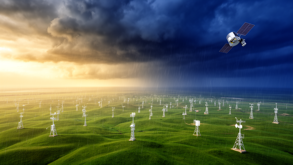
Scientists have unveiled a new daily precipitation dataset for China that achieves substantially higher accuracy than existing products while using barely a quarter of the ground observation stations that previous datasets required. The dataset, named CGS01, covers the period from 2000 to 2024 and was developed by a team at the China Geological Survey led by Bokun Yan and Wenpeng Li. It merges satellite rainfall observations with ground gauge records through a robust, physically based calculation method, and it is described in a preprint currently under review for the journal Earth System Science Data.
High-precision quantification of regional precipitation is the foundation of watershed water balance analysis and water resources management. Yet current approaches are hindered by methodological diversity and inconsistent results, with limited accuracy especially in gauge-sparse regions and areas with drastic topographic relief. China presents a formidable test case: its western plateaus, deep river canyons, and high mountain ranges contain few rain gauges, and the rugged terrain itself distorts both satellite retrievals and the spatial interpolation of sparse ground observations. The new study analyzes the core difficulties and feasible solutions for regional precipitation estimation, and discusses the error sources of GPM satellite precipitation data as well as the application potential of the proposed method in watershed water balance assessment and high-precision global precipitation quantification.
The methodological heart of CGS01 is a dual thin-plate spline fusion approach that combines satellite observations and gauge observations. Thin-plate splines are a mathematically elegant interpolation technique that can flexibly map precipitation across a landscape while incorporating covariates that carry physical information about where rain actually falls. A key finding of the study is that when digital elevation model data and reanalysis data are used as covariates in the thin-plate spline method, satellite precipitation data exhibits higher reliability when serving as covariates. However, corrections for systematic errors and suppression of random errors are still required. To address this, the team proposed a novel systematic error correction method for GPM satellite data, which removes persistent biases in the satellite retrievals before they are fused with the gauge records.
The performance gains are striking. Adopting only 27 percent of the gauge numbers used in previous studies, the newly developed CGS01 presents obviously superior performance to existing datasets. The national average error of annual precipitation is 2.0 percent. Validated against observed runoff data, the watershed water balance analysis error is 10.9 percent. Furthermore, CGS01 can reasonably reflect the controlling effects of topography and wind direction on precipitation spatial patterns in high mountain and canyon areas without in-situ observations, a capability that matters enormously in regions where no ground instruments exist to check the answer.
Multi-dimensional comparisons and comprehensive accuracy evaluations were conducted against several mainstream precipitation products including CN05.1, CMFD_V1, and CHM_PRE_V2. Compared with CHM_PRE_V2, CGS01 daily precipitation shows improvements of 14.2 percent in the correlation coefficient, 2.9 percent in Kling-Gupta efficiency, 21.3 percent in probability of detection, and 8.2 percent in mean absolute error. The correlation coefficient measures how closely the dataset tracks observed day-to-day variations, while the probability of detection captures how often the dataset correctly flags days when rain actually occurs, a critical property for flood forecasting and agricultural decision-making.
The method proposed in this study has three prominent strengths: it requires no preset empirical parameters, delivers highly reproducible results, and imposes low demands on gauge station density. The absence of preset empirical parameters is particularly significant for reproducibility. Many fusion techniques depend on tuning coefficients that vary from study to study, making results difficult to compare or replicate. By contrast, the dual thin-plate spline framework with systematic error correction operates on physically grounded calculations that can be independently reproduced by other teams working with the same satellite and gauge inputs.
Beyond its immediate accuracy, CGS01 opens a window on how precipitation across China is changing. The dataset shows that from 2000 to 2024, eight out of China’s ten first-level watersheds showed annually wetting trends, with trends ranging from 0.5 to 8.4 millimeters per year. In seven of the ten first-level watersheds, the contribution ratio of daily extreme precipitation to total precipitation increased at a rate of 0.2 to 0.5 percent per year. This dual signal of overall wetting combined with a rising share of extreme daily rainfall carries profound implications for flood risk, reservoir management, and long-term water resources planning across the country.
The implications extend well beyond China’s borders. The study discusses the application potential of the proposed method in watershed water balance assessment and high-precision global precipitation quantification. Because the technique imposes low demands on gauge station density, it could be transformative for other regions of the world with sparse instrumentation and rugged terrain, from the Andes to the Himalayas to remote oceanic islands. Watershed water balance analysis depends on knowing how much water enters a basin as precipitation; errors in that input propagate through every subsequent calculation of runoff, evapotranspiration, and groundwater recharge. A dataset with a national average annual precipitation error of 2.0 percent and a watershed water balance error of 10.9 percent validated against observed runoff provides a far more trustworthy foundation for these analyses.
Free access to the CGS01 dataset is available through Zenodo, allowing researchers worldwide to examine, validate, and build upon the work. The dataset is distributed under the Creative Commons Attribution 4.0 License, and the underlying preprint is open for community discussion. As climate change intensifies the hydrological cycle, the need for accurate, reproducible, and gauge-independent precipitation estimates will only grow. CGS01 demonstrates that with a physically based fusion of satellite and ground observations, even regions with sparse gauges and drastic topographic relief can be mapped with high accuracy, offering a template for the next generation of precipitation datasets worldwide.
Subject of Research: Merge Satellite and Gauge Daily Precipitation Data for Areas with Sparse-Gauge and Rugged Terrain: A High-Accuracy Gridded Dataset CGS01 (2000–2024) across China
Article Title: Merge Satellite and Gauge Daily Precipitation Data for Areas with Sparse-Gauge and Rugged Terrain: A High-Accuracy Gridded Dataset CGS01 (2000–2024) across China
Article References: Yan, B., Li, W., Gan, F., Zheng, Y., Bai, J., Wang, L., Li, J., Guo, Y., Li, C., Xing, N., Zhuo, Y., & Li, R. (2026). Merge Satellite and Gauge Daily Precipitation Data for Areas with Sparse-Gauge and Rugged Terrain: A High-Accuracy Gridded Dataset CGS01 (2000–2024) across China. https://doi.org/10.5194/essd-2026-564
Image Credits: AI Generated
Keywords: precipitation, satellite data, CGS01, China, hydrology, water resources, GPM, thin-plate spline, Merge, Satellite, Gauge, Daily
Cite Scienmag News
Violet Maxwell. (October 15, 2026). New Satellite-Gauge Fusion Dataset CGS01 Delivers High-Accuracy Daily Precipitation Maps for China With Just 27% of Usual Ground Stations. Scienmag. https://scienmag.com/new-satellite-gauge-fusion-dataset-cgs01-delivers-high-accuracy-daily-precipitation-maps-for-china-with-just-27-of-usual-ground-stations/
Violet Maxwell. "New Satellite-Gauge Fusion Dataset CGS01 Delivers High-Accuracy Daily Precipitation Maps for China With Just 27% of Usual Ground Stations." Scienmag, 15 October 2026, https://scienmag.com/new-satellite-gauge-fusion-dataset-cgs01-delivers-high-accuracy-daily-precipitation-maps-for-china-with-just-27-of-usual-ground-stations/. Accessed 15 October 2026.
Violet Maxwell. "New Satellite-Gauge Fusion Dataset CGS01 Delivers High-Accuracy Daily Precipitation Maps for China With Just 27% of Usual Ground Stations." Scienmag. October 15, 2026. https://scienmag.com/new-satellite-gauge-fusion-dataset-cgs01-delivers-high-accuracy-daily-precipitation-maps-for-china-with-just-27-of-usual-ground-stations/


