


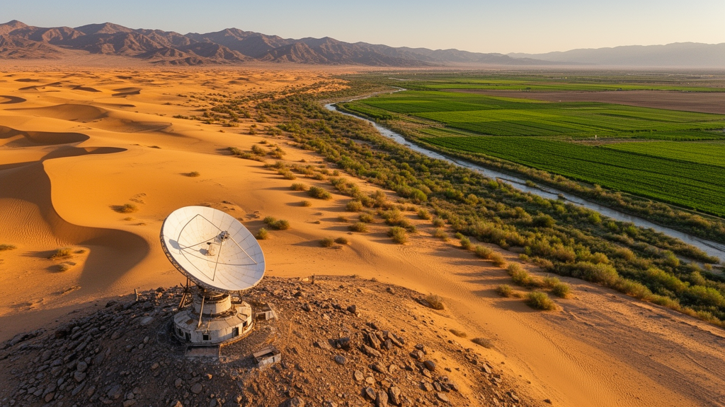
In one of the most ambitious long-term vegetation audits ever attempted for a desert-fringed region, a team of Chinese researchers has pieced together a 33-year satellite portrait of plant life across arid northwestern China, and the picture it paints is anything but static. Using Landsat imagery spanning 1990 to 2022, the scientists tracked fractional vegetation cover, or FVC, a measure of the proportion of ground actually blanketed by greenery, and then cross-referenced those changes against a multi-timescale drought index. Their findings, published in Environmental Monitoring and Assessment, show a landscape that is slowly greening overall, yet one whose fate swings dramatically on the arrival of extreme drought and on the reach of human restoration programs.
The technical heart of the study is the dimidiate pixel model, a widely used remote sensing technique that treats every satellite pixel as a mixture of two components: pure vegetation and bare soil. By analyzing the spectral signature of each pixel, the model estimates what fraction of the surface is vegetated, producing FVC values at a resolution fine enough to distinguish an irrigated oasis from the surrounding desert. Because the researchers drew on the full Landsat archive rather than shorter satellite records, they could extend their analysis back to 1990, capturing more than three decades of change in a region where vegetation dynamics are notoriously subtle and highly variable from year to year.
The headline result is a slow but measurable upward march. Across the 33-year record, FVC increased at an average rate of 0.98 multiplied by ten to the power of minus four per year, a small figure that conceals considerable interannual turbulence. Two moments stand out from the trend line. In 2001, vegetation cover dropped sharply, and the timing aligns closely with an extreme drought event that gripped the region, offering a natural experiment in how quickly arid ecosystems can lose green cover when water becomes scarce. Conversely, the pronounced rise in FVC after 2010 coincided temporally with the implementation of large-scale regional ecological restoration programs, suggesting that deliberate human intervention has left a visible fingerprint on the land surface.
Space matters as much as time in this ecosystem. The spatial analysis revealed a strikingly heterogeneous pattern: the western portions of the study area remained relatively stable, while the eastern portions experienced dynamic, often volatile changes in cover. To quantify these patterns, the team applied local spatial autocorrelation statistics, which identify clusters of similar or dissimilar values across the map. Low-high clusters, meaning patches of low vegetation cover surrounded by greener areas, dominated the local spatial structure, a signature of fragmented vegetation struggling under persistent drought stress. In contrast, high-high clusters, contiguous zones of dense cover, showed progressive spatial expansion in oasis areas and ecological restoration zones, evidence that greening has been spreading outward from these anchor points rather than appearing randomly.
Perhaps the most scientifically intriguing finding concerns scale. The researchers related FVC to the Standardized Precipitation Evapotranspiration Index, or SPEI, a drought metric that balances precipitation against atmospheric water demand over a chosen time window. At the growing season scale, captured by SPEI-4, which integrates roughly four months of climate conditions, vegetation cover correlated positively with the drought index: wetter conditions meant greener landscapes. But at the interannual scale, captured by SPEI-12, which integrates a full year, the relationship flipped to a negative correlation in certain sub-basins. This scale-dependent reversal suggests that vegetation in these basins responds to water availability in fundamentally different ways depending on the timescale, a nuance that simpler correlation studies can easily miss.
What could explain such a reversal? The authors’ data point toward the interplay between short-term water pulses and longer-term ecological stress. On seasonal timescales, rainfall and reduced evaporative demand directly boost plant growth, producing the positive SPEI-4 relationship. Over multiple years, however, sustained drought may push vegetation into decline, and the negative interannual correlations in some sub-basins hint at delayed or cumulative damage that only emerges when the full annual water balance is considered. The study also found that vegetation persistence, the ability of cover to remain stable through time, was predominantly associated with no-to-mild drought conditions, while severe and extreme drought events significantly suppressed FVC. In other words, these arid ecosystems can absorb ordinary variability, but extreme events leave clear scars.
The implications reach well beyond northwestern China. Arid and semi-arid regions cover roughly forty percent of the global land surface and support hundreds of millions of people, and they are widely regarded as among the ecosystems most vulnerable to accelerating global warming and intensifying human activity. The finding that restoration programs produced a detectable greening signal after 2010 is a cautiously optimistic data point for the global restoration movement, demonstrating that satellite records can verify whether decades of investment in afforestation, grazing management, and soil conservation are actually changing the ground truth. At the same time, the 2001 drought collapse is a reminder that climate extremes can erase gains quickly, and that restoration strategies must be designed with drought resilience in mind.
Methodologically, the study offers a template for other drought-prone regions. By combining the dimidiate pixel model applied to the long Landsat archive with trend analysis, spatial statistics, and multi-timescale SPEI data, the researchers built an analytical framework that separates gradual change from abrupt shocks and distinguishes local clustering from broad regional shifts. All the raw inputs, including Landsat imagery, land cover products from the China Annual Land Cover Dataset, and the Global SPEI Database, are freely available from public domain resources, which lowers the barrier for researchers in other countries to replicate the approach. The work was supported by the Natural Science Foundation of Gansu Province, and the team was led by Xiuxia Zhang of Lanzhou University of Technology, with collaborators from Lanzhou University.
The study’s authors emphasize that these findings carry important theoretical and practical implications for ecosystem restoration efforts globally. Theoretically, the scale-dependent drought response challenges one-size-fits-all models of vegetation-climate coupling and underscores the need to match the timescale of a drought index to the ecological process being studied. Practically, the mapped clusters of fragmentation and the expanding high-cover zones provide a spatially explicit guide for where future restoration investment could yield the greatest returns, and where drought risk demands protective measures. As climate models project increasing water stress for Central Asia and adjacent arid zones, the 33-year record assembled here will serve as a crucial baseline against which the coming decades of change can be measured.
For now, the greening of northwestern China stands as a rare, quantified success story in the difficult business of restoring dryland ecosystems, tempered by the sobering knowledge that a single extreme drought can undo years of progress. The next test, as global temperatures continue to climb, will be whether the gains documented since 2010 can withstand the hotter, thirstier atmosphere that lies ahead.
Subject of Research: Long-term satellite analysis of fractional vegetation cover dynamics and drought responses in arid northwestern China from 1990 to 2022
Article Title: Spatiotemporal dynamics of vegetation cover and its responses to drought in arid northwestern China
Article References: Zhang, X., Gao, L., Han, L., Gao, Z., Dou, A., Du, H., Li, W., Zhou, Z., & Wang, X. (2026). Spatiotemporal dynamics of vegetation cover and its responses to drought in arid northwestern China. Environmental Monitoring and Assessment, 198(10), Article 1043. https://doi.org/10.1007/s10661-026-15879-w
Image Credits: AI Generated
DOI: 10.1007/s10661-026-15879-w
Keywords: fractional vegetation cover, FVC, drought, SPEI, Landsat, remote sensing, arid ecosystems, northwestern China, ecological restoration, spatiotemporal analysis, dimidiate pixel model, climate change
Cite Scienmag News
Violet Maxwell. (October 15, 2026). Satellite Record Reveals How Drought and Restoration Reshaped Vegetation in Arid Northwestern China. Scienmag. https://scienmag.com/satellite-record-reveals-how-drought-and-restoration-reshaped-vegetation-in-arid-northwestern-china/
Violet Maxwell. "Satellite Record Reveals How Drought and Restoration Reshaped Vegetation in Arid Northwestern China." Scienmag, 15 October 2026, https://scienmag.com/satellite-record-reveals-how-drought-and-restoration-reshaped-vegetation-in-arid-northwestern-china/. Accessed 15 October 2026.
Violet Maxwell. "Satellite Record Reveals How Drought and Restoration Reshaped Vegetation in Arid Northwestern China." Scienmag. October 15, 2026. https://scienmag.com/satellite-record-reveals-how-drought-and-restoration-reshaped-vegetation-in-arid-northwestern-china/


