


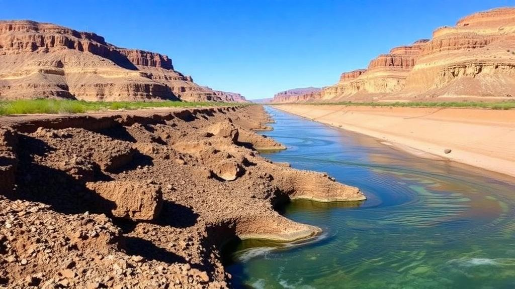
Beneath the sun-baked mesas and irrigated fields of the American Southwest, a quiet crisis has been unfolding at a pace that has now caught scientists off guard. The declining flows of the Colorado River, the shrinking shorelines of Lake Powell and Lake Mead, and the pale mineral rings on reservoir walls have long served as the most visible emblems of the region’s ongoing megadrought. But according to new research from Virginia Tech published in the journal Water Resources Research, one of the most consequential losses of water in the Colorado River Basin has been happening almost entirely out of sight. Groundwater, the vast subterranean reserve that sustains communities, farms, and ecosystems when surface water runs short, is disappearing just as rapidly as the rivers and reservoirs above it — and the geography of that loss has shifted in a way that upends decades of conventional understanding.
Historically, water managers and researchers have regarded the Lower Basin of the Colorado River — the portion encompassing Arizona, southern Nevada, and southeastern California — as the region of greatest groundwater stress. The Lower Basin is home to sprawling metropolitan populations and some of the most productive agricultural land in the United States, all set within an arid landscape where surface supplies are chronically overallocated. Groundwater there has been pumped relentlessly for decades, and aquifer levels have fallen accordingly. The Upper Basin, by contrast, encompassing Colorado, Wyoming, Utah, and New Mexico, has generally been viewed as the more hydrologically resilient half of the system. Its mountains capture winter snowpack, and the gradual melting of that snow each spring recharges streams and, in turn, the shallow aquifers connected to them. The new analysis shows that this long-standing pattern has reached a turning point, and the implications for how the basin is managed are profound.
The study was led by Esther Oyedele, a geosciences graduate student at Virginia Tech, working with Susanna Werth, an assistant professor of hydrology and remote sensing, and a team of geoscientists. To quantify changes in groundwater storage across both the Upper and Lower Basins, the researchers combined measurements from NASA’s Gravity Recovery and Climate Experiment satellite mission, known as GRACE, with independent estimates of surface water storage, soil moisture, and snow-water storage spanning the period from 2004 to 2023. The GRACE mission works by detecting minute changes in Earth’s gravity field caused by shifts in the distribution of water at or below the surface. As aquifers are drained or refilled, the mass of water beneath a region changes, and that change registers in the gravity signal measured from orbit. By subtracting the contributions of surface water, soil moisture, and snow from the total water storage signal recorded by the satellites, the team could isolate the groundwater component with unusual precision across the entire basin.
The results reveal a striking acceleration in groundwater depletion after 2019. During the particularly severe drought episode that gripped the basin from 2020 through 2022, the Upper Basin lost an estimated 4.6 trillion gallons of groundwater. That figure is nearly double the estimated loss in the Lower Basin over the same interval, which came to about 2.5 trillion gallons. For a region long assumed to hold the hydrologic high ground, the Upper Basin’s sudden emergence as the epicenter of groundwater loss represents a genuine surprise. The finding suggests that the resilience conferred by snowmelt-driven recharge is not absolute, and that prolonged, intense drought can overwhelm even the Upper Basin’s capacity to buffer its aquifers against shortage.
Oyedele noted that the Upper Basin has generally been thought of as more resilient because of its snowmelt-driven recharge, and that she did not expect to see so much groundwater loss there during the recent drought. She added that what surprised her even more was that groundwater did not track surface-water shortages in the same way in the Upper and Lower Basins. That divergence is one of the study’s most important scientific contributions. In the Lower Basin, groundwater levels have historically responded in tandem with surface-water conditions, as reduced river flows prompt heavier pumping and reduced aquifer replenishment at the same time. In the Upper Basin, the new data show that the coupling between surface water and groundwater has begun to behave differently, with surface-water shortages increasingly translating into groundwater losses through pathways and timing that did not previously characterize the system. Understanding the mechanisms behind that decoupling will be critical for forecasting how the basin’s water stores respond as drought conditions persist.
The stakes of these findings are enormous. The Colorado River Basin supplies water to roughly 40 million people, including the residents of major metropolitan areas such as Denver, Phoenix, Las Vegas, Los Angeles, and San Diego, and it irrigates extensive agricultural operations that produce a substantial share of the nation’s winter vegetables and forage crops. Tribes, national parks, hydropower facilities, and ecosystems across seven states and into Mexico all depend on the river’s flows. When rivers and reservoirs decline, groundwater becomes a critical buffer against shortage: communities drill deeper wells, farmers pump more from aquifers, and ecosystems draw on shallow groundwater to survive dry stretches. But that buffer is not unlimited. Aquifers recharge slowly, and in many parts of the basin the water being pumped today fell as precipitation hundreds or thousands of years ago. Once depleted, such fossil groundwater cannot be quickly restored, and as water tables fall, the energy and cost of extraction rise while wells, springs, and groundwater-fed streams run dry.
One of the most consequential feedback loops described in the research concerns the relationship between aquifers and the river itself. In many reaches of the Colorado River system, groundwater and surface water are hydraulically connected: aquifers slowly release water into streams and rivers, sustaining base flows between storms and snowmelt events. As groundwater tables decline, that subsurface contribution to the river diminishes. The result is a self-reinforcing cycle in which groundwater depletion reduces river flows, which in turn prompts further reliance on groundwater and further depletion. Werth cautioned that continued groundwater depletion, especially in the Upper Basin, could further reduce groundwater contributions to rivers and intensify the feedback between groundwater loss and surface-water shortages. In other words, the Upper Basin’s aquifers have until recently helped prop up the flows that downstream states and reservoirs depend on, and the erosion of that hidden subsidy could accelerate the visible decline of the river itself.
The technical achievement of the study lies in its ability to disentangle these intertwined stores of water. Total water storage measured by GRACE reflects the sum of groundwater, surface water in lakes and reservoirs, moisture held in soils, and water frozen in snowpack. Because each of these components fluctuates on different timescales — snow builds and melts seasonally, reservoirs rise and fall according to management decisions and inflows, and soil moisture responds to individual storms — removing their contributions requires careful accounting. By integrating satellite gravity data with hydrologic models and observational estimates of each non-groundwater component across nearly two decades, the team constructed a basin-wide picture of groundwater change that no network of ground-based wells alone could provide. The approach also allowed the researchers to compare the Upper and Lower Basins directly, revealing the shift in the locus of depletion that would otherwise remain hidden in aggregated basin-wide numbers.
For Werth, the study delivers a clear signal to water managers, policymakers, and the public: looking at surface water alone is no longer enough. The megadrought gripping the Southwest is not merely a crisis of reservoirs and river flows; it is a crisis of the entire water system, above and below ground. Protecting the Colorado River Basin, she argued, requires managing the water above and below the land surface as a single, connected resource. In practical terms, that means incorporating groundwater monitoring and aquifer management into the framework of Colorado River negotiations, which have historically centered on dividing surface-water allocations among the basin states. It also means recognizing that the Upper Basin, which has often been treated as the more secure partner in those negotiations, now faces its own accelerating groundwater challenge that could reshape its ability to sustain flows toward Lake Powell.
As the drought continues and climate change intensifies the volatility of precipitation and snowpack across the West, the hidden ledger of groundwater will only grow in importance. The Virginia Tech study demonstrates that satellite gravimetry, combined with rigorous hydrologic modeling, can track that ledger in near real time across an entire continental basin. The shift of rapid groundwater loss into the Upper Basin between 2020 and 2022 — nearly doubling the concurrent Lower Basin losses — serves as a warning that no corner of the Colorado River system can be assumed immune to the megadrought’s reach. The water that 40 million people depend on is not only vanishing from the lakes and rivers they can see, but also from the aquifers beneath their feet, and the era of managing one without the other has now definitively ended.
Subject of Research: Groundwater depletion patterns in the Colorado River Basin during megadrought, measured with NASA GRACE satellite gravity data
Article Title: Colorado River drought drives unprecedented pattern of groundwater loss
Article References: Colorado River drought drives unprecedented pattern of groundwater loss. (n.d.). Original publication
Image Credits: AI Generated
DOI: Not provided
Keywords: Colorado River, groundwater, megadrought, GRACE satellite, Upper Basin, Lower Basin, water resources, aquifer depletion, Virginia Tech, remote sensing, drought, hydrology
Cite Scienmag News
Violet Maxwell. (October 14, 2026). Colorado River Megadrought Now Drains Hidden Groundwater in an Unexpected Place. Scienmag. https://scienmag.com/colorado-river-megadrought-now-drains-hidden-groundwater-in-an-unexpected-place/
Violet Maxwell. "Colorado River Megadrought Now Drains Hidden Groundwater in an Unexpected Place." Scienmag, 14 October 2026, https://scienmag.com/colorado-river-megadrought-now-drains-hidden-groundwater-in-an-unexpected-place/. Accessed 14 October 2026.
Violet Maxwell. "Colorado River Megadrought Now Drains Hidden Groundwater in an Unexpected Place." Scienmag. October 14, 2026. https://scienmag.com/colorado-river-megadrought-now-drains-hidden-groundwater-in-an-unexpected-place/


