


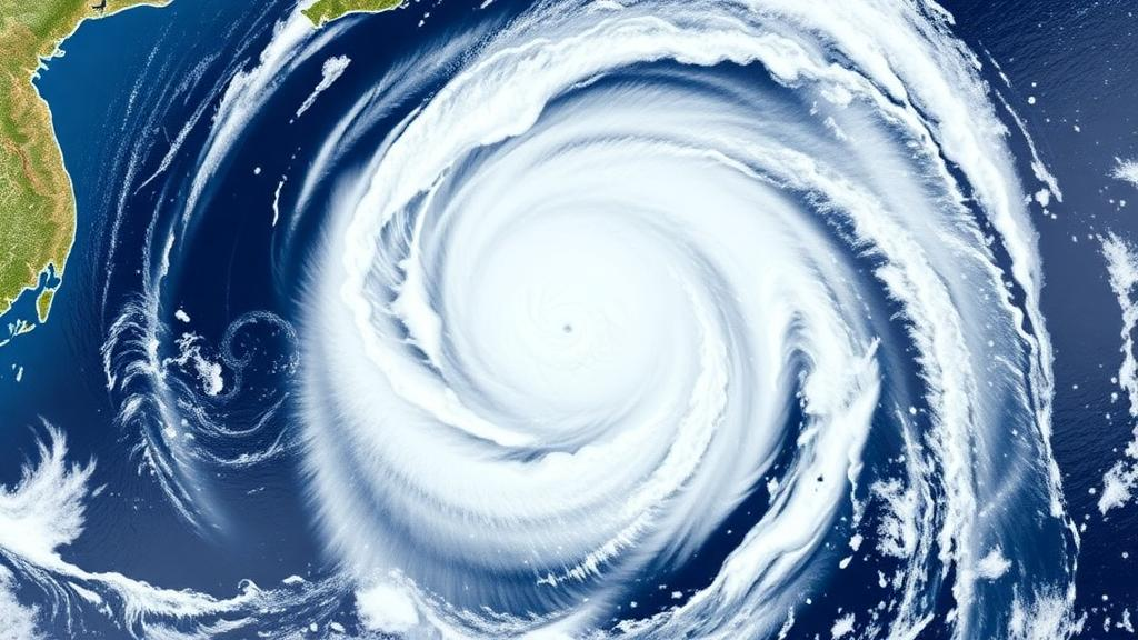
For decades, the map of tropical cyclone risk in East Asia has been drawn by a simple rule of thumb: the closer a coastline sits to the tropics, the more often it gets hit. A new peer-reviewed study published in Advances in Atmospheric Sciences suggests that this rule is quietly losing its reliability. Analyzing more than four decades of storm records across the western North Pacific, the world’s most active tropical cyclone basin, researchers found that both the activity of tropical cyclones and the coastal hazards they bring have been shifting steadily toward higher latitudes. The finding does not mean that East Asia as a whole is facing more storms. Instead, it points to a redistribution of danger, with some of the region’s most densely populated mid-latitude coastlines becoming more exposed while lower-latitude areas see declining landfall likelihood.
The research team, led by corresponding author Jia Sun of the First Institute of Oceanography under China’s Ministry of Natural Resources, examined tropical cyclone records from 1980 to 2025. The dataset spans the western North Pacific, the basin that generates more tropical cyclones than any other on Earth and that supplies the storms striking eastern China, the Korean Peninsula, and Japan. By tracking where storms formed, the paths they followed, and where they came ashore, the researchers were able to detect a coherent pattern that is difficult to dismiss as random variability. Fewer storms are forming and making landfall at lower latitudes, while a growing share of the basin’s activity is concentrated farther north than it was in earlier decades.
The numbers behind the shift are striking in their geographic clarity. Landfall likelihood decreased south of 20 degrees north latitude but increased north of 30 degrees north, a band that broadly covers parts of eastern China, the Korean Peninsula, and Japan. In practical terms, communities that historically sat at the northern fringe of the tropical cyclone zone are now finding themselves closer to its center of gravity. The storms themselves are also changing their behavior: they tend to form farther to the northwest, follow tracks that are both more landward and more poleward, and move modestly faster along their paths toward the coast.
One of the most consequential details in the study concerns time. The average duration that landfalling cyclones spent over the ocean dropped from about 5.6 days in the 1980 to 2015 period to about 4.7 days in 2016 to 2025. That difference of nearly a full day may sound like a technical footnote, but it has direct implications for emergency management. A tropical cyclone that forms closer to shore and races toward the coast more quickly compresses the window available for forecasting, evacuation planning, and public communication. Coastal cities that once enjoyed several days of lead time before a storm’s arrival may find that window narrowing, even when the storm’s eventual intensity is accurately predicted.
Guihua Wang of Fudan University, the study’s co-corresponding author, emphasized that this shrinking lead time is a planning problem as much as a forecasting one. Preparedness frameworks in many coastal regions are built on accumulated local experience, which implicitly assumes that future storms will behave like past ones. The new results challenge that assumption directly. If tropical cyclones are forming in different places and traveling along different routes with different speeds, then risk assessments and early warning systems calibrated to historical storm behavior may systematically underestimate the threat facing northern East Asian coastlines, particularly with respect to how much warning time will actually be available.
Notably, the study did not find a significant long-term increase in the maximum strength that tropical cyclones reached. This distinction matters for how the results should be interpreted. The changing pattern of danger along East Asian coasts appears to be driven mainly by where storms travel and where they make landfall, rather than by a steady intensification of the storms themselves. In other words, the hazard is migrating geographically rather than uniformly amplifying. For residents of lower-latitude coastal zones, the news may be comparatively reassuring, at least in terms of landfall frequency. For communities north of 30 degrees north, the opposite applies, because their exposure is growing even though the storms hitting them are not becoming categorically stronger.
What physical mechanism could push an entire basin’s storm tracks poleward? The researchers point to changes in the large-scale winds over the Pacific, which act as steering currents for tropical cyclones. These environmental flows appear to be guiding more storms on westward, poleward, and landward trajectories, effectively funneling them toward the mid-latitude coasts of East Asia. Steering flow is a fundamental control on tropical cyclone motion: a storm is largely carried along by the deep-layer winds surrounding it, so even modest shifts in the position or strength of features like the western Pacific subtropical high can translate into substantial changes in where storms ultimately go. The observed northward migration of landfall locations is consistent with such a large-scale reorganization of the steering environment.
The authors are careful, however, not to attribute the entire pattern to long-term climate change. The observed record reflects a combination of secular climate trends and natural climate variability, including multidecadal oscillations in the Pacific atmosphere-ocean system that can redistribute storm activity on their own. Disentangling the anthropogenic signal from natural swings is one of the hardest problems in tropical cyclone climatology, and the researchers caution that separating these influences will require longer observational records and targeted climate model experiments designed to isolate individual drivers. Until such work is done, the northward shift should be understood as a robust observed trend whose ultimate causes remain under active investigation.
For the tens of millions of people living along the coasts of eastern China, the Korean Peninsula, and Japan, the practical lesson is straightforward: yesterday’s tropical cyclone map may not describe tomorrow’s risk. Building codes, evacuation routes, insurance pricing, and drainage infrastructure are all calibrated to historical landfall frequencies, and a poleward redistribution of hazards can leave those investments mismatched to the actual threat. The study suggests that planners need to consider not only how strong a future cyclone may become, but also where it is increasingly likely to travel, how fast it will move, and how much warning time its shortened ocean journey may leave. As the geography of tropical cyclone danger continues to migrate north, the regions that adapt their risk frameworks to this new reality will be better positioned than those that continue to plan for a storm climate that no longer exists.
Subject of Research: Poleward redistribution of tropical cyclone hazards and landfall patterns over East Asia in the western North Pacific
Article Title: East Asia's tropical cyclone risk is moving steadily north
Article References: East Asia's tropical cyclone risk is moving steadily north. (n.d.). Original publication
Image Credits: AI Generated
DOI: Not provided
Keywords: tropical cyclones, East Asia, western North Pacific, landfall, poleward shift, coastal hazards, steering winds, early warning systems, climate variability, typhoons, risk assessment, Advances in Atmospheric Sciences
Cite Scienmag News
Violet Maxwell. (October 13, 2026). Tropical Cyclone Danger Is Drifting North Along East Asia’s Coasts. Scienmag. https://scienmag.com/tropical-cyclone-danger-is-drifting-north-along-east-asias-coasts/
Violet Maxwell. "Tropical Cyclone Danger Is Drifting North Along East Asia’s Coasts." Scienmag, 13 October 2026, https://scienmag.com/tropical-cyclone-danger-is-drifting-north-along-east-asias-coasts/. Accessed 13 October 2026.
Violet Maxwell. "Tropical Cyclone Danger Is Drifting North Along East Asia’s Coasts." Scienmag. October 13, 2026. https://scienmag.com/tropical-cyclone-danger-is-drifting-north-along-east-asias-coasts/


