


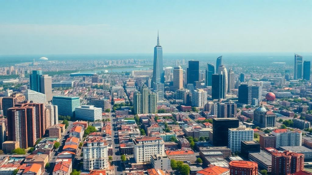
Cities around the world are warming far faster than the planet as a whole, and a sweeping new satellite analysis of 100 major urban areas has identified the culprits with unusual precision. Between 2000 and 2020, land surface temperatures across these cities rose 1.3 to 2.6 times faster than the global mean land temperature, and their most dangerous extremes of heat climbed 2.9 to 4.5 times faster. The study, published in Theoretical and Applied Climatology by Saghi Sarafi, Christopher D. Lippitt, and Gernot Paulus, combined two decades of Landsat thermal imagery with annual land-cover maps processed in Google Earth Engine, creating one of the most comprehensive portraits yet of how the surfaces we build and destroy shape the heat we endure.
The core insight is a troubling asymmetry: land-cover change does not simply raise average temperatures. It preferentially amplifies the most hazardous heat. Extreme-heat metrics in the study, defined as maximum land surface temperature and the mean of the hottest 10 percent of pixels, responded 1.5 to 1.7 times more strongly to land-cover transitions than the average temperature did. In other words, a city that converts vegetated land or open water into asphalt and concrete does not just get a little warmer on average; it manufactures sharply hotter peak conditions, precisely the ones most strongly linked to heat-related illness and death.
Two transitions stood out above all others. The strongest thermal signal anywhere in the dataset was the loss of water bodies, which raised temperatures by 3.7 to 4.9 kelvin regardless of what replaced them, and by up to 6.7 kelvin at the extreme end when water became bare ground. Impervious expansion, the paving of land with materials like asphalt and concrete, was the most consistent predictor: every conversion to an impervious surface produced substantial warming, from 2.9 kelvin when vegetation was paved over to 4.2 kelvin when water was. In city-level regression models, impervious expansion was the single strongest significant predictor of two-decade warming, explaining a meaningful share of the variation between cities, while gains in cropland were associated with cooler outcomes.
The physical mechanisms behind these numbers are well understood in principle. Impervious surfaces typically have low albedo, meaning they absorb a large fraction of incoming solar radiation, and they are impermeable, so the energy that would otherwise be consumed by evaporation is instead converted into sensible heat that warms the surface and the air above it. Water bodies moderate temperature through their enormous heat capacity and through evaporation, which carries latent heat away from the surface. Removing water therefore strips a city of its most powerful natural air conditioner, and the study shows that this loss hits hardest during the very heat events when cooling is needed most.
One of the more surprising findings concerns cropland. Cities that lost cropland warmed more than expected, and remarkably, even the conversion of cropland to other vegetation produced warming of about 2.4 kelvin on average. This aligns with recent global analyses showing that actively managed farmland, particularly where irrigated, can sustain high evapotranspiration rates and remain cooler than surrounding natural ecosystems in many contexts. The authors caution that this cooling is inferred rather than directly measured, because the land-cover dataset they used does not distinguish irrigated from rainfed fields, but the implication for planners is clear: farmland at the urban fringe is not thermally inert.
To separate genuine land-cover effects from the confounding influence of regional climate, latitude, and elevation, the researchers built a three-level analytical framework. At the first level, they examined net changes in each land-cover class across whole cities and found that these changes explained a modest but statistically significant share of warming between cities, with impervious expansion dominant and the result robust to tests of whether administrative boundaries distorted the picture. At the second level, they tracked individual pixels that changed from one cover type to another, isolating the direct thermal consequence of each conversion pathway. At the third level, they computed a Relative Temperature Index that normalizes each cover type’s temperature against the city-wide mean, revealing patterns that hold across climates.
That third level delivered some of the study’s most elegant evidence. Across 2,244 city-year observations spanning tropical, arid, temperate, and continental climates, impervious surfaces were consistently warmer than their city averages, with a mean index of 1.011 and a remarkably tight spread, while water was reliably cooler at 0.988 and vegetation sat almost exactly at neutral. All pairwise differences between the five classes were statistically significant, and the tightness of the distributions suggests these thermal roles are near-universal properties of how these surfaces exchange energy, not quirks of particular cities. Interestingly, the more impervious cover a city had, the warmer its impervious surfaces ran relative to the city mean, likely because large contiguous paved areas lose the cooling influence of interspersed vegetation and water.
The study also quantifies just how anomalous recent urban warming has been. Mean land surface temperature across land-cover classes rose by roughly 1.2 to 2.3 kelvin over two decades, against a global land-only increase of 0.90 kelvin measured by the Berkeley Earth record. Extreme-heat metrics rose by 2.7 to 4.1 kelvin. Because this gap appears even within land-cover classes that did not change, the authors conclude that land conversion alone cannot explain it: the intrinsic thermal properties of existing urban surfaces appear to amplify background climate warming, so both composition and conversion contribute.
The practical implications are unusually direct. The single most consequential intervention available to a city, by the numbers, is protecting the water bodies and vegetated cover it already has, and preventing their conversion to sealed surfaces. Because extreme heat, not average warmth, drives heat-related mortality, the authors argue that planners should evaluate cooling interventions against peak and upper-decile temperatures rather than means alone. As urban populations climb toward a projected 68 percent of humanity by 2050, and heat waves intensify, the message from twenty years of satellite eyes is blunt: every pond filled and every field paved makes the hottest days measurably deadlier.
Limitations remain. The 30-meter resolution of Landsat cannot resolve narrow streets or individual trees, the impervious class lumps together materials with very different albedos, and drivers such as building geometry and anthropogenic heat from air conditioning were not modeled. But the hierarchical framework the authors developed, moving from city-scale trends to pixel-scale mechanisms to climate-normalized signatures, offers a transferable template for future research, and the data and code are publicly available for any city to interrogate its own thermal trajectory.
Subject of Research: Land-cover change and urban heat island dynamics across 100 global cities
Article Title: Land-cover change and urban heat in a warming climate: a global satellite perspective
Article References: Sarafi, S., Lippitt, C. D., & Paulus, G. (2026). Land-cover change and urban heat in a warming climate: a global satellite perspective. Theoretical and Applied Climatology, 157(11), Article 691. https://doi.org/10.1007/s00704-026-06604-1
Image Credits: AI Generated
DOI: 10.1007/s00704-026-06604-1
Keywords: urban heat island, land-cover change, land surface temperature, Landsat, impervious surfaces, water bodies, evapotranspiration, extreme heat, remote sensing, Google Earth Engine, climate change, urban planning
Cite Scienmag News
Violet Maxwell. (October 12, 2026). Losing Water and Paving Cities Drive the Fastest Urban Heat Warming, Satellite Study Finds. Scienmag. https://scienmag.com/losing-water-and-paving-cities-drive-the-fastest-urban-heat-warming-satellite-study-finds/
Violet Maxwell. "Losing Water and Paving Cities Drive the Fastest Urban Heat Warming, Satellite Study Finds." Scienmag, 12 October 2026, https://scienmag.com/losing-water-and-paving-cities-drive-the-fastest-urban-heat-warming-satellite-study-finds/. Accessed 12 October 2026.
Violet Maxwell. "Losing Water and Paving Cities Drive the Fastest Urban Heat Warming, Satellite Study Finds." Scienmag. October 12, 2026. https://scienmag.com/losing-water-and-paving-cities-drive-the-fastest-urban-heat-warming-satellite-study-finds/


