


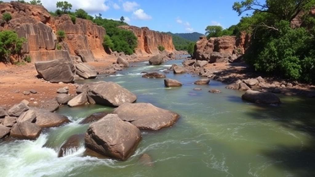
In the hills of Minas Gerais, southeastern Brazil, a river carries a chemical diary of everything it touches: billions of years of rock, the runoff of Brazil’s second-largest industrial hub, and the lingering memory of one of the country’s worst mining disasters. A new open-access study published in Environmental Geochemistry and Health has now read that diary with unprecedented detail, sampling surface water at 264 sites during the dry season of 2022 and 262 sites during the rainy season of 2023 across the 13,643-square-kilometer Paraopeba River Basin. The verdict is striking: the river’s chemistry is written first by geology, modulated by the relentless alternation of wet and dry seasons, and only then stamped by human activity — including, surprisingly, very little detectable trace of the 2019 Brumadinho tailings dam collapse in the water column today.
The Paraopeba River runs roughly 510 kilometers before joining the São Francisco system at the Três Marias Reservoir, and its headwaters intersect the Quadrilátero Ferrífero, one of the world’s great iron and manganese metallogenetic provinces. This ancient terrain of Mesoarchean gneisses, tonalite–trondhjemite–granodiorite cores, banded iron formations, dolomites, and phyllites weathers continuously, releasing its mineral signature into every stream. The research team, working under the Geochemical Mapping and Context of the Quadrilátero Ferrífero project at the Instituto Tecnológico Vale, divided the basin into four integrated geospatial classes that combine underlying lithology with dominant land use — from pasture-dominated granitoid terrains to the densely urbanized and industrialized zones around Belo Horizonte, Betim, Congonhas, and Conselheiro Lafaiete.
Technically, the team relied on the classic toolkit of hydrogeochemistry. Piper diagrams revealed that surface waters across the basin are predominantly of the mixed bicarbonate type in both seasons. Gaillardet diagrams, which plot sodium-normalized molar ratios such as Ca²⁺/Na⁺ and Mg²⁺/Na⁺, placed most samples between the silicate and carbonate weathering domains, confirming that silicate weathering is the dominant natural process shaping water chemistry, with secondary carbonate contributions from marbles and dolomites. Gibbs diagrams positioned the waters mainly in the rock-dominance field, with low to moderate total dissolved solids — median values around 62.5 milligrams per liter in the dry season — indicating that water–rock interaction, not evaporation or atmospheric deposition, is the primary chemical engine.
Yet the human fingerprint is unmistakable where it matters. In the Mineiro Belt class, where mining, steelmaking, and urban centers cluster around Congonhas and Conselheiro Lafaiete, a subset of samples migrated toward sodium chloride and sulfate-rich compositions, particularly during the dry season when dilution is weakest. Sewage discharge, urban runoff, and industrial effluents supply the sodium, chloride, and sulfate that pull these waters away from their natural bicarbonate baseline. A similar pattern appears near Betim, a petrochemical and automotive powerhouse, where the Betim River delivers markedly sodium-enriched, higher-TDS water to the main stem. These deviations toward evaporite-like signatures are the geochemical smoke of human activity, not geology.
One of the study’s most consequential findings concerns the confluence of the Paraopeba with the Maranhão River. The Maranhão, draining manganese deposits near Conselheiro Lafaiete and heavily urbanized catchments, acts as a chemical vector that transforms the main river downstream. Longitudinal profiles along roughly 170 kilometers of the Paraopeba show a well-defined step increase in manganese, barium, sulfate, chloride, nitrate, and phosphorus below the confluence. Crucially, even the rainy season’s dilution cannot erase this signal: concentrations downstream remain systematically higher than upstream, meaning the tributary’s load exceeds the flood pulse’s capacity to attenuate it. The Maranhão’s signature persists along the entire lower river, compounded further downstream by the Betim River’s urban-industrial inputs.
The Brumadinho question loomed over the entire investigation. On January 25, 2019, the failure of the B1 tailings dam at the Feijão Stream mine complex released approximately 12 million cubic meters of iron ore tailings, of which 1.6 million cubic meters reached the Paraopeba. Immediate post-disaster studies documented spikes in turbidity, suspended solids, and dissolved iron, manganese, and aluminum. But this new basin-wide dataset — collected years later — found no consistent downstream geochemical signature attributable to tailings remobilization. The absence of a marked enrichment in iron, manganese, or barium below the Feijão Stream suggests that deposition, dilution, and fluvial reorganization have progressively attenuated the disaster’s water-column imprint, and that today’s variability is dominated instead by diffuse and point-source pollution tied to land use.
The researchers caution that this does not mean the tailings are gone. Seasonal floods can resuspend previously deposited sediments and temporarily alter water quality, and recent reviews note that urban, industrial, and agricultural contaminant loads can mask the tailings’ geochemical imprint, making it difficult to distinguish along the fluvial system. At the analytical scale of this study, however, the 2019 event does not emerge as a dominant or distinctive factor in the dissolved chemistry — a finding that reframes how the basin’s ongoing recovery should be monitored, shifting attention toward the chronic pressures of sewage, industry, and erosion rather than a single catastrophic pulse.
Beyond diagnosis, the study delivers a practical tool: geochemical reference values for aluminum, iron, manganese, nickel, barium, and strontium, calculated separately for each of the four geospatial classes. Because no fully pristine reference areas remain in the basin — a legacy of Atlantic Forest fragmentation and centuries of occupation — the team deliberately built baselines that integrate natural and diffuse anthropogenic contributions. Three statistical methods were compared: median plus twice the median absolute deviation (mMAD), the Tukey Inner Fence (TIF), and the Upper Tolerance Limit (UTL). The UTL method, implemented with the US EPA’s ProUCL software, proved most consistent, with thresholds approximating the 95th to 98th percentiles without exceeding observed maxima, whereas mMAD and TIF occasionally produced estimates above the highest measured concentrations, risking overestimation of natural background.
The seasonal contrasts embedded in these baselines are chemically telling. Total iron and aluminum rise sharply in the rainy season across all land-use classes — in the TTG-UP class, iron climbs from 5.1 to 11.09 milligrams per liter and aluminum from 1.48 to 13.43 milligrams per liter — reflecting intensified erosion and the transport of iron and aluminum oxides and clay minerals from bare soils into the fluvial system. Manganese behaves differently: it shows greater mobility in the dissolved phase and peaks in the dry season within the Mineiro Belt class, reaching UTL values of 2.57 milligrams per liter dissolved and 3.51 milligrams per liter total, consistent with regional manganese mineralization near Conselheiro Lafaiete and possible remobilization linked to mining and urbanization. Barium, though ultimately derived from weathering of potassium-bearing minerals in the granitoid-gneissic basement, displays amplified dispersion in urbanized catchments during rains, a mixed geogenic-anthropogenic control.
For environmental managers, the implications are direct. Applying generic regulatory limits in a geologically complex, mineralized province risks mislabeling naturally elevated concentrations as contamination — or, conversely, excusing real pollution as natural background. Geology- and land-use-conditioned reference values, the authors argue, offer a more realistic foundation for monitoring and enforcement in complex, historically impacted basins. The broader lesson resonates far beyond Minas Gerais: in tropical riverscapes where ancient cratons meet megacities, water quality is never a single story. It is the product of lithological inheritance, hydrological rhythm, and cumulative human pressure — and only by disentangling all three, at basin scale and across seasons, can science tell regulators where the river’s chemistry is nature’s doing and where it is ours.
Subject of Research: Hydrogeochemical variability and geochemical baseline determination in the Paraopeba River basin, Brazil
Article Title: Geogenic controls and anthropogenic inputs on the seasonal hydrogeochemical variability of the Paraopeba River basin, Brazil
Article References: Andrade, N. Y. M. D. C., de Almeida, G. S., de Medeiros Filho, L. C., Dall’Agnol, R., Sahoo, P. K., Leão, L. P., Laureano, F. V., Pimenta, V. B., & Salomão, G. N. (2026). Geogenic controls and anthropogenic inputs on the seasonal hydrogeochemical variability of the Paraopeba River basin, Brazil. Environmental Geochemistry and Health, 48(16), Article 634. https://doi.org/10.1007/s10653-026-03466-4
Image Credits: AI Generated
DOI: 10.1007/s10653-026-03466-4
Keywords: hydrogeochemistry, Paraopeba River, Quadrilátero Ferrífero, geochemical baseline, Brumadinho dam failure, silicate weathering, land use, seasonality, water quality, mining, Brazil, trace elements
Cite Scienmag News
Bethany Barker. (October 12, 2026). Ancient Rocks and City Runoff Shape the Chemistry of Brazil’s Paraopeba River. Scienmag. https://scienmag.com/ancient-rocks-and-city-runoff-shape-the-chemistry-of-brazils-paraopeba-river/
Bethany Barker. "Ancient Rocks and City Runoff Shape the Chemistry of Brazil’s Paraopeba River." Scienmag, 12 October 2026, https://scienmag.com/ancient-rocks-and-city-runoff-shape-the-chemistry-of-brazils-paraopeba-river/. Accessed 12 October 2026.
Bethany Barker. "Ancient Rocks and City Runoff Shape the Chemistry of Brazil’s Paraopeba River." Scienmag. October 12, 2026. https://scienmag.com/ancient-rocks-and-city-runoff-shape-the-chemistry-of-brazils-paraopeba-river/


