


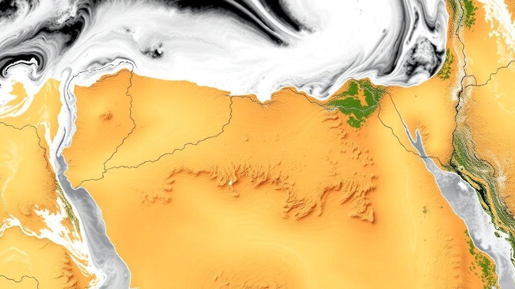
In one of the driest countries on Earth, knowing exactly where and when rain falls can mean the difference between a managed flash flood and a disaster. Yet Egypt’s network of rain gauges is thin, scattered, and unevenly distributed across a landscape that stretches from the Mediterranean coast to the heart of the Sahara. A new study published in Theoretical and Applied Climatology tackles this problem head-on by putting five of the world’s most widely used high-resolution rainfall datasets through a rigorous, station-by-station test across Egypt’s hydrological zones, and then applying machine learning to squeeze out their systematic errors.
The research, led by Mahmoud Hesham of Port Said University together with colleagues from Cairo University, evaluated daily rainfall records from 23 ground stations spanning the years 2003 to 2024. Against this observational baseline, the team compared five products: the Climate Hazards Group InfraRed Precipitation with Station Data version 2.0, known as CHIRPS; the Climate Prediction Center Morphing Technique, or CMORPH; the PERSIANN-CDR dataset built on artificial neural networks; the Global Precipitation Measurement mission’s Integrated Multi-satellite Retrievals Final Run version 07, abbreviated GPM IMERG-F V07; and ERA5, the fifth-generation atmospheric reanalysis produced by the European Centre for Medium-Range Weather Forecasts. Each of these products estimates rainfall in a fundamentally different way, blending satellite infrared and microwave sensors, gauge data, or numerical weather model output, and each carries its own characteristic strengths and blind spots.
The stakes are considerable. In arid regions, rainfall is rare, localized, and often violent, arriving as short-lived cloudbursts that can trigger flash floods in wadis and urban areas that were designed with little drainage capacity. Hydrological models and flood forecasting systems depend on accurate precipitation inputs, and where gauges are sparse, satellite and reanalysis products are often the only practical source of spatially continuous rainfall information. But these products were largely developed and calibrated in wetter climates, and their performance in hyper-arid environments, where the signal-to-noise ratio of rainfall detection is poor, has long been an open question.
The evaluation produced a nuanced picture rather than a single winner. At the daily and monthly timescales, CHIRPS V2.0 generally delivered the lowest root mean square error, suggesting that its blend of infrared satellite imagery and station data captures the day-to-day rhythm of Egyptian rainfall better than its competitors. When the analysis shifted to yearly totals and maximum yearly values, however, ERA5 and GPM IMERG-F V07 took the lead, indicating that the reanalysis model and the latest generation of the GPM mission are more reliable for long-term water resources assessment and extreme-rainfall analysis. This scale-dependence is a critical finding for practitioners: the best data source for a flash-flood early warning system may not be the best source for planning a decades-long water management strategy.
Event detection proved equally revealing. GPM IMERG-F V07 showed reliable rainfall-event detection across Egypt, with probability of detection values exceeding 0.45 throughout the country. The probability of detection, a standard verification metric that measures the fraction of observed rain events correctly identified, is especially important in arid lands where a missed event is often a missed flood. ERA5 also performed well in detecting rainfall events at several northern stations, where Mediterranean weather systems bring the bulk of Egypt’s modest precipitation. These results suggest that modern satellite retrievals have matured to the point where they can meaningfully supplement, and in some contexts partially substitute for, ground observations in gauge-poor regions.
Detecting that rain fell is only half the battle, however. The next question is how much fell, and here the raw satellite and reanalysis products carry systematic biases that can propagate into hydrological models with serious consequences. To address this, the researchers tested three bias-correction methods of increasing sophistication: linear scaling, a simple multiplicative adjustment of the mean; quantile mapping, a statistical technique that reshapes the entire distribution of estimated rainfall to match the observed distribution; and a dense neural network, a deep learning model capable of learning complex, nonlinear relationships between the estimated rainfall and the true gauge-measured amounts.
The neural network approach was engineered with considerable care. A feedforward dense neural network was optimized separately for each of the 23 stations, with the architecture and training regime tuned individually: the models used between 2 and 6 hidden layers, 16 to 256 neurons per layer, 150 to 300 training epochs, batch sizes ranging from 16 to 128, learning rates between 0.0005 and 0.0050, and dropout rates from 0.0 to 0.2. This station-specific optimization reflects a key insight of modern machine learning practice in the geosciences: rainfall error structures are local phenomena, shaped by topography, distance from the coast, and prevailing weather patterns, and a single global correction model would likely average away the very details that matter most.
The payoff was substantial. Deep-learning-based bias correction reduced error by 33 percent at the daily timescale, 22 percent at the monthly timescale, and 34 percent at the yearly timescale. These are not marginal refinements; a one-third reduction in daily rainfall error can materially change the output of flood forecasting models, which are acutely sensitive to the timing and magnitude of individual rain events. The fact that the largest relative improvement appeared at the yearly scale suggests the neural networks were particularly effective at correcting the cumulative biases that accumulate over seasons and years, precisely the errors that matter for water resources planning in a country where every drop counts.
Perhaps the most important conclusion of the study is a cautionary one: there is no universal best product, and bias correction is not a magic bullet. The best-performing rainfall product varied by location, hydrological zone, and temporal scale, meaning that practitioners in Egypt should select rainfall datasets based on local rainfall conditions and the intended hydrological use. Bias correction, meanwhile, should be applied carefully, because its effectiveness depends on rainfall behavior and timescale. A correction that works brilliantly for Mediterranean coastal stations may fail in the southern desert, and a method tuned for daily extremes may distort long-term averages. This echoes a growing body of literature warning that statistical correction techniques, including machine learning approaches, must be validated for the specific application at hand rather than assumed to be universally beneficial.
For Egypt, the practical implications are immediate. The evaluated and corrected products can serve as complementary rainfall inputs for hydrological modeling, flash-flood forecasting, extreme-rainfall analysis, and water-resources management in arid and gauge-sparse regions, not only in Egypt but across the broader belt of deserts and semi-arid lands where similar data scarcity prevails. As climate change alters rainfall patterns in the Mediterranean and North Africa, and as urban expansion places more people and infrastructure in the path of rare but devastating flash floods, the ability to extract trustworthy rainfall information from satellites, refined by machine learning, becomes an essential tool of resilience. This study provides both a practical guide for choosing among the available datasets and a demonstration that deep learning can meaningfully close the gap between what satellites see and what actually falls from the sky.
Subject of Research: Evaluation and bias correction of satellite and reanalysis rainfall products across Egypt's hydrological zones
Article Title: Evaluation and bias correction of high-resolution satellite and reanalysis rainfall products across Egypt’s hydrological zones
Article References: Hesham, M., Helmi, A. M., Elkiki, M., Hamed, Y., & Selim, T. (2026). Evaluation and bias correction of high-resolution satellite and reanalysis rainfall products across Egypt’s hydrological zones. Theoretical and Applied Climatology, 157(9), Article 601. https://doi.org/10.1007/s00704-026-06519-x
Image Credits: AI Generated
DOI: 10.1007/s00704-026-06519-x
Keywords: satellite precipitation, bias correction, Egypt, CHIRPS, GPM IMERG, ERA5, deep neural networks, quantile mapping, flash flood forecasting, arid climate, hydrological modeling, rain gauges
Cite Scienmag News
Blake Davidson. (October 10, 2026). Deep Learning Sharpens Satellite Rainfall Maps for Egypt’s Arid Zones. Scienmag. https://scienmag.com/deep-learning-sharpens-satellite-rainfall-maps-for-egypts-arid-zones/
Blake Davidson. "Deep Learning Sharpens Satellite Rainfall Maps for Egypt’s Arid Zones." Scienmag, 10 October 2026, https://scienmag.com/deep-learning-sharpens-satellite-rainfall-maps-for-egypts-arid-zones/. Accessed 10 October 2026.
Blake Davidson. "Deep Learning Sharpens Satellite Rainfall Maps for Egypt’s Arid Zones." Scienmag. October 10, 2026. https://scienmag.com/deep-learning-sharpens-satellite-rainfall-maps-for-egypts-arid-zones/


