Beneath the dust and salt flats of central Iran, scientists say, lies the ghost of one of the largest lakes the ancient world ever knew. A new study published in the History of Geo- and Space Sciences argues that a vast inland water body, stretching across the central Iranian plateau and possibly reaching into western Afghanistan and eastern Pakistan, persisted for thousands of years before vanishing in the sixth century CE. The researchers, Hadi Jarahi of Islamic Azad University in Tehran and Donya Namdar of Damghan University, have named the vanished system the Paleo Mega Lake of Rey, or PAMELA, after the historic city of Rey south of modern Tehran.
The claim is audacious because the region today is synonymous with aridity. The Dasht-e Kavir, or Great Salt Desert, and the Dasht-e Lut rank among the most inhospitable landscapes on Earth. Yet the study assembles an unusually broad range of evidence, from Zoroastrian scripture and Sassanid administrative records to satellite-derived elevation models and sediment cores, to argue that this desert was once a shoreline. If confirmed by future fieldwork, PAMELA would join the ranks of the world’s great reconstructed pluvial lakes, such as Lake Bonneville in North America, Mega-Lake Chad in Africa, and the giant Altiplano lakes of South America.
The methodological heart of the study is a systematic sweep of more than 350 historical sources, including Islamic-era chronicles, geographical compendia, travel narratives, and Persian epic literature. Using qualitative analysis software, the team extracted environmental keywords such as lakes, navigation, coasts, and fish, then mapped each reference in time and space using dynastic periods, place names, and climatological metaphors as anchors. Ambiguous or anachronistic entries were deliberately excluded, a filtering step the authors say was essential to keep the reconstruction testable rather than speculative.
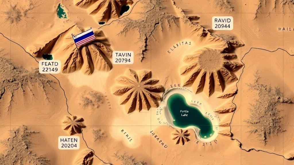
Those textual signals were then cross-checked against the landscape itself. The researchers used high-resolution digital elevation models from the ALOS PALSAR satellite, with a vertical accuracy of 12.5 meters, alongside multispectral Landsat-8 imagery acquired between 2013 and 2023. Paleo-shorelines were traced through slope-break detection along topographic transects, and the resulting features were validated in a geographic information system against historical attestations of boat transport, fish populations, and coastal settlements. Strikingly, the positions of ancient mill hills near the reconstructed shore correspond closely to what would have been ports and shallow coastlines.
The historical record itself is remarkably rich. Ancient Zoroastrian texts, including the Avesta and the Bundahishn, describe a vast, life-sustaining body of water called Vourukasha or Farakhkurt, located near the mythical Alborz range and regarded as the origin of all terrestrial waters. Scholars have long debated whether such descriptions were purely cosmological, but recent philological work identifies linguistic and geographic correspondences between these sacred accounts and the hypothesized boundaries of PAMELA along the southern flanks of the Alborz Mountains. The study suggests these texts may preserve echoes of a real geographic feature rather than pure myth.
Later sources become increasingly concrete. The medieval chronicle Tarikh-e-Qom reports that during the reign of the Arsacid king Goudarz, around 91 BCE, a sizable body of water extended between Rey and Saveh. A fifth-century account describes the Sassanid king Yazdgird II ordering the founding of three cities served by a port named Bargīn on the shores of Lake Saveh, roughly 66 kilometers from Yazd. Cities such as Meybod and Bideh, situated near the 1000-meter elevation contour, are interpreted as shoreline settlements. By the sixth century CE, the geographer Zakariya Qazvini reported in his Athar al-Bilad that the lake had dried up and turned into arable land, an event he placed around the birth of the Prophet Muhammad, circa 570 CE.
European explorers added their own observations. The Swedish geographer Sven Hedin, traveling through the Iranian deserts in the early twentieth century, documented pronounced paleo-shoreline features between the towns of Jandagh and Torud and recorded a striking detail: the city gate of Jandagh had been rebuilt using timber salvaged from a ship that had run aground nearby, implying that vessels had once navigated what locals called the Desert Sea. Other travelers and scholars reported lacustrine sediments east of Saveh, marine fossils on the Saveh Plain, and the ruins of abandoned port towns bearing names such as Barajin, Barjin, and Parchin. A Qajar-era official even recorded that the lake bed briefly refilled with water in 1886.
The study places these observations within the framework of Holocene climate variability. Global paleoclimate records identify a humid Early Holocene period and a Mid-Holocene Climatic Optimum, roughly between 11,700 and 5,500 years ago, when increased effective moisture promoted lake expansion across the arid belt of the Northern Hemisphere. The integrated analysis points to a high probability of sustained water in the PAMELA basin from around 10,000 BCE until the sixth century CE, with peak lake levels during the Early Holocene. Abrupt downturns, including the Younger Dryas, the 8.2-kiloyear cooling event, and the 4.2-kiloyear aridification, would have repeatedly stressed the lake and the communities dependent on it.
The final desiccation may have been part of a larger crisis. The lake’s disappearance around 570 CE coincides with the Late Antique Little Ice Age, a period between roughly 536 and 660 CE marked by volcanic forcing, reduced solar output, and documented famines across Eurasia, including a great famine in 570 CE. The authors caution that causality cannot be directly confirmed, but they note that the synchronicity between the lake’s regression and the memory preserved in Islamic historiography suggests the drying of Saveh Lake may have been one facet of a broader regional environmental breakdown. Geological studies add that tectonic activity and falling groundwater levels likely contributed alongside the climatic shift.
For the researchers, the scattered sediment records already documented from Iranian basins such as Jazmurian and Hamoun may in fact be fragments of a single, larger paleolacustrine puzzle. They argue that Iran occupies a critical climatic crossroads between the Mediterranean Westerlies and the Indian Summer Monsoon, making its closed basins sensitive recorders of moisture anomalies comparable to those that filled the Great Basin, the Sahara, and the Altiplano. The team calls for stratigraphic coring, radiometric dating, and high-resolution terrain modeling to deliver a definitive reconstruction. Until then, PAMELA remains a compelling hypothesis: the idea that the cradle of some of Iran’s oldest settlements, its sacred geography, and even its legends of ships crossing the desert was shaped by a lake that modern science is only now learning to see.
Subject of Research: Reconstruction of the Paleo Mega Lake of Rey, a vast Holocene paleolake in central Iran, using historical texts, satellite data, and paleoclimate records
Article Title: Historical background of Paleo Mega Lake of Rey
Article References: Historical background of Paleo Mega Lake of Rey. (n.d.). https://doi.org/10.5194/hgss-16-41-2025
Image Credits: AI Generated
Keywords: paleolake, PAMELA, Iran, Holocene, paleoclimatology, Saveh Lake, Zoroastrian texts, remote sensing, geomorphology, Late Antique Little Ice Age, Rey, desert
Cite Scienmag News
Violet Maxwell. (October 9, 2026). Vast Ancient Lake That Shaped Early Iranian Civilization Revealed by Texts and Satellites. Scienmag. https://scienmag.com/vast-ancient-lake-that-shaped-early-iranian-civilization-revealed-by-texts-and-satellites/
Violet Maxwell. "Vast Ancient Lake That Shaped Early Iranian Civilization Revealed by Texts and Satellites." Scienmag, 9 October 2026, https://scienmag.com/vast-ancient-lake-that-shaped-early-iranian-civilization-revealed-by-texts-and-satellites/. Accessed 10 October 2026.
Violet Maxwell. "Vast Ancient Lake That Shaped Early Iranian Civilization Revealed by Texts and Satellites." Scienmag. October 9, 2026. https://scienmag.com/vast-ancient-lake-that-shaped-early-iranian-civilization-revealed-by-texts-and-satellites/