


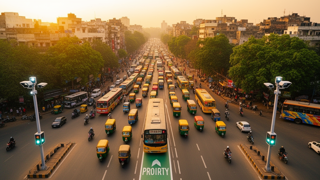
Indian cities are growing at a pace that their streets were never designed to absorb. Congestion, spiraling travel times, worsening air quality and the steady erosion of public transport reliability have become daily realities for millions of commuters. Against this backdrop, a new study published in the journal Discover Sustainability offers a way to test smart mobility ideas before a single rupee is spent on concrete and signal poles. Researchers led by Prashant Prasad, Satyaki Sarkar and Vishwam Chandrayan of Birla Institute of Technology Mesra, together with Aditi Nag of Manipal University Jaipur, have built a microsimulation-based framework and applied it to a busy urban corridor in Bhubaneswar, one of India’s designated smart cities. Their work, published open access on 9 October 2026, demonstrates how a virtual replica of a real street can reveal exactly where a transport system is failing and how much improvement intelligent technologies could deliver.
The core of the study is a detailed traffic simulation model built in PTV VISSIM, a widely used microscopic simulation platform that represents individual vehicles, pedestrians and signal controllers rather than treating traffic as a continuous fluid. This level of detail matters because the problems that plague urban transit hubs are inherently local: a poorly timed signal cycle, a bus stopped in a travel lane, or a queue spilling back through an intersection can cascade into corridor-wide gridlock. By modeling each vehicle’s acceleration, car-following behavior and route choice, the researchers created a digital laboratory in which the existing traffic situation could be reproduced faithfully and then systematically altered to test candidate solutions.
A simulation is only as credible as the data behind it, and the team took deliberate steps to ground their model in reality. They combined socio-technical and physical infrastructure data drawn from both secondary sources and primary field collection. Crucially, the model was calibrated and validated using primary data gathered directly from the study corridor, a process that adjusts model parameters until simulated traffic behavior matches what is actually observed on the ground. This calibration and validation step ensures that the virtual Bhubaneswar behaves like the real one, giving decision-makers confidence that the predicted effects of new interventions reflect genuine traffic dynamics rather than artifacts of the model.
With the calibrated model in hand, the researchers diagnosed the corridor’s ailments using a suite of performance indicators: travel time, delay, queue length, average speed, vehicular tailpipe emissions and fuel consumption. The simulation runs exposed several key lacunas in the current system. The most prominent were excessive delays, inefficient signal operations and reduced reliability of the public transportation system. These findings will resonate with anyone who has waited at an intersection while the light seemed indifferent to the length of the queue, or watched a scheduled bus arrive unpredictably late because it was trapped in general traffic.
To address these weaknesses, the team tested two intelligent mobility solutions within the simulation environment. The first was adaptive traffic signal control, a technology that replaces fixed, pre-programmed signal timings with systems that respond in real time to detected traffic volumes. Instead of forcing vehicles to wait through green phases sized for conditions that no longer exist, adaptive control continuously redistributes green time across approaches, smoothing flow through intersections as demand fluctuates throughout the day. The second intervention was a bus priority system, which gives public transport vehicles preferential treatment at signals and along the corridor, allowing them to bypass the worst of the congestion that erodes schedules and drives riders away.
The results of the simulation runs showed significant improvement across the system performance indicators. Speeds increased, delays fell, and tailpipe emissions and fuel consumption both declined. The mechanism behind these gains is straightforward but powerful: smoother vehicle flow means less stop-and-go driving, and stop-and-go driving is precisely the operating regime in which engines burn fuel inefficiently and emit the most pollutants per kilometer. By reducing the number of acceleration-deceleration cycles at intersections, adaptive signals deliver environmental benefits that compound the direct time savings for travelers. Meanwhile, bus priority attacks the reliability problem directly, since a bus that is not stuck in general traffic can keep to its timetable, and a punctual bus is one that commuters will actually choose to ride.
What distinguishes this study from many smart-city pilot reports is its framing as a replicable, data-driven methodology rather than a one-off case study. The authors present the demonstrated framework itself as a novel contribution: a structured pipeline that moves from field data collection through model calibration and validation, to baseline diagnosis, to the virtual testing of interventions, and finally to context-specific policy recommendations for Indian smart cities. In a country where transport infrastructure investments must stretch across hundreds of growing urban areas, a framework that lets planners compare the expected performance of competing solutions on a calibrated digital twin before committing funds could change how mobility projects are prioritized and justified.
The choice of Bhubaneswar as the test bed is significant. Like many Indian cities, it is undergoing rapid urbanization and faces the associated transportation challenges of congestion, increased travel time, environmental pollution and declining system efficiency. The authors note that while numerous smart mobility solutions have been proposed at a global level, there has been a lack of an integrated framework to assess the efficacy of these intelligent solutions in the Indian context. Traffic in Indian cities differs in important ways from the conditions under which many imported technologies were developed: vehicle fleets are heterogeneous, mixing two-wheelers, auto-rickshaws, cars, buses and freight; lane discipline varies; and informal modes share the roadway. A framework calibrated on local data therefore fills a genuine gap, ensuring that assessments of adaptive signals or bus priority reflect the traffic mix and behavior actually found on Indian streets rather than idealized conditions from elsewhere.
The study’s implications extend beyond engineering into policy and sustainability commitments. The authors explicitly connect their findings to Sustainable Development Goal 11, which calls for making cities and human settlements inclusive, safe, resilient and sustainable. Improving the efficiency of urban transportation systems sits at the heart of that agenda, because transport touches nearly every dimension of urban life: the time parents spend commuting instead of with their families, the air children breathe near major roads, the affordability of getting to work, and the viability of public transport as an alternative to private vehicles. By quantifying how intelligent mobility solutions improve speed, delays, emissions and fuel consumption within a single integrated assessment, the framework gives city governments evidence they can use to align transport investments with climate and livability goals simultaneously.
For the wider conversation about smart cities, the Bhubaneswar study is a reminder that the most valuable intelligence is often the kind applied before construction begins. Sensors, adaptive controllers and priority systems are increasingly affordable, but deploying them blindly risks spending public money on technologies whose benefits depend heavily on local conditions. A calibrated microsimulation offers a low-cost rehearsal space: planners can stress-test an adaptive signal algorithm against the morning peak, evaluate whether a bus priority lane will actually shorten queues or merely shift them, and estimate emissions reductions with enough precision to defend the project before a budget committee. The research team’s framework, built on open principles and grounded in field data from a real Indian corridor, points toward a future in which urban mobility upgrades are proven in software first and then delivered to the street with confidence. As Indian cities continue their rapid growth, that virtual-first approach may prove to be one of the smartest mobility solutions of all.
Subject of Research: Microsimulation-based assessment of intelligent mobility solutions at urban transit hubs in Bhubaneswar, India
Article Title: A microsimulation-based framework for assessing intelligent mobility solutions at urban transit hubs: a case study of Bhubaneswar
Article References: Prasad, P., Sarkar, S., Chandrayan, V., & Nag, A. (2026). A microsimulation-based framework for assessing intelligent mobility solutions at urban transit hubs: a case study of Bhubaneswar. Discover Sustainability. https://doi.org/10.1007/s43621-026-04785-3
Image Credits: AI Generated
DOI: 10.1007/s43621-026-04785-3
Keywords: intelligent mobility, microsimulation, PTV VISSIM, adaptive traffic signal control, bus priority, urban transit hubs, Bhubaneswar, smart cities, sustainable transport, traffic congestion, tailpipe emissions, SDG 11
Cite Scienmag News
Violet Maxwell. (October 9, 2026). Virtual Traffic Lab Shows Smart Signals and Bus Priority Could Untangle Indian City Streets. Scienmag. https://scienmag.com/virtual-traffic-lab-shows-smart-signals-and-bus-priority-could-untangle-indian-city-streets/
Violet Maxwell. "Virtual Traffic Lab Shows Smart Signals and Bus Priority Could Untangle Indian City Streets." Scienmag, 9 October 2026, https://scienmag.com/virtual-traffic-lab-shows-smart-signals-and-bus-priority-could-untangle-indian-city-streets/. Accessed 9 October 2026.
Violet Maxwell. "Virtual Traffic Lab Shows Smart Signals and Bus Priority Could Untangle Indian City Streets." Scienmag. October 9, 2026. https://scienmag.com/virtual-traffic-lab-shows-smart-signals-and-bus-priority-could-untangle-indian-city-streets/


