


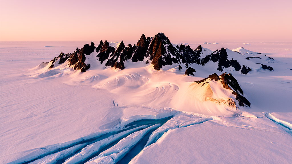
Beneath nearly two kilometres of East Antarctic ice lies one of the most enigmatic mountain ranges on Earth. The Gamburtsev Subglacial Mountains stretch for roughly 600 kilometres under Dome A, the highest point of the East Antarctic Ice Sheet, yet no human has ever seen them. Now, a team of geomorphologists at Durham University has turned the tools of river science on this buried landscape, and the results are rewriting what we know about how the mountains formed, when they rose, and why they helped seed the largest ice mass on the planet.
The study, published in Earth Surface Dynamics by Guy Paxman, Fiona Clubb, Stewart Jamieson and Alexander Densmore, exploits a remarkable quirk of Antarctic geology: although the Gamburtsevs are completely buried, decades of airborne radio-echo sounding have mapped their bed topography in extraordinary detail. The radar surveys, flown by campaigns including AGAP, PolarGAP, Operation IceBridge and the recent COLDEX programme, reveal a rugged terrain of sharp ridges and steep-sided valleys with up to a kilometre of local relief. Crucially, the ice above the mountains is cold-based and slow-moving, meaning it barely erodes the bed. The landscape beneath has been effectively frozen in time since the ice sheet formed around 34 million years ago.
That preservation allowed the researchers to do something never before attempted on a subglacial range: extract and analyse valley longitudinal profiles, the classic fingerprints of river erosion. From the radar data they identified 937 individual valley floor measurements, organised into ten drainage basins containing 85 distinct valley thalwegs. After correcting the bed elevations for the isostatic rebound that would follow complete ice removal, they constructed elevation profiles for each trunk valley and its tributaries, effectively reconstructing the drainage systems that flowed across East Antarctica before the ice arrived.
The profiles turned out to be strikingly river-like. All the trunk valleys show the smooth, concave-up shape characteristic of fluvial systems, with steep gradients in the upper reaches flattening downstream, and the tributaries join their trunks systematically rather than hanging abruptly above them. To quantify this, the team applied chi analysis, an integral technique that transforms a river profile into a straight line when the landscape is in steady balance between rock uplift and erosion. The recovered concavity indices, between 0.50 and 0.61, sit squarely within the range expected for rivers, and the tributaries proved strongly collinear with their trunks in chi-elevation space, a diagnostic signature of a steady-state fluvial network.
Not every feature is purely fluvial, however. Several basins in the higher central and northern Gamburtsevs contain enclosed lows up to 300 metres deep and around 20 kilometres long, often located where tributaries converge. These overdeepenings, along with steepened headwaters in one basin, point to localised erosion by warm-based valley glaciers during the earliest phase of Antarctic glaciation, at or before 34 million years ago. The pattern suggests that small mountain ice fields first chewed into the upper reaches of the river landscape, before the continental ice sheet coalesced rapidly and switched off erosion almost entirely. Since then, the frozen bed has preserved both the rivers and the glacial scars.
The channel steepness indices also turned out to encode geology. In the southern Gamburtsevs, the longest profile crosses an abrupt boundary where normalised steepness drops by a factor of about 2.6, coinciding precisely with a change in the pattern and intensity of magnetic anomalies measured by the ADMAP-2B compilation. A similar dichotomy appears in the northern mountains, where steepness values roughly double across a linear magnetic boundary thought to mark a terrane suture dating from the assembly of Gondwana around 500 million years ago. Because channel steepness reflects both uplift rate and bedrock erodibility, and because the changes align with independent geophysical evidence, the team concludes that major lithological boundaries run along the northern and southern margins of the range, with the most erosion-resistant rocks, possibly granitoids and metasediments, forming the core of the mountains.
The most provocative result concerns timing. Using the stream power incision model, a standard equation describing how rivers carve bedrock, the researchers forward-modelled the longest valley profile to see how long it would take to produce the observed shape. Because no direct erosion-rate measurements exist for the pre-glacial Gamburtsevs, they bracketed the problem with plausible values. At a modest 10 metres per million years, the model needs 216 million years to carve the profile; at a more realistic 100 metres per million years, consistent with the range’s steep slopes and with tectonically quiet analogues such as the Italian Apennines, only about 22 million years are required. Either way, the modelling rules out the idea that the modern mountains rose during the Cambro-Ordovician collisions that assembled Gondwana, and even pushes Permo-Triassic rifting to the very edge of feasibility. The team concludes that uplift of the present-day Gamburtsevs most likely began in the Mesozoic or early Cenozoic, making the range considerably younger than many earlier hypotheses assumed.
Two knickpoints, steep steps in the lower part of the longest profile, add a further twist. If they are transient features propagating upstream in response to base-level fall, the modelling suggests they formed within roughly 18 million years of the landscape being locked under ice, sometime between 52 and 34 million years ago. Such a late uplift pulse of a few hundred metres would have cooled the mountain summits by three to four degrees, potentially tipping the high terrain into alpine glaciation and triggering the ice-elevation feedbacks that paved the way for continental-scale ice sheet growth at the Eocene-Oligocene boundary.
The analysis also illuminates the plumbing of the ancient landscape. South of the mountains, the Recovery Subglacial Highlands appear as a tilted fault block bounded by a linear escarpment, with flexural modelling indicating uplift by extensional faulting over a thick, cold lithosphere. On the hanging-wall side of that fault system lies the South Pole Basin, which contains a strikingly smooth, flat, enclosed region about 100 by 50 kilometres. The valley network of the southern Gamburtsevs drains directly toward this basin, which likely set the base level for pre-glacial rivers. That makes the basin a probable repository for sediments eroded from the mountains before the ice arrived, buried today beneath roughly 3.5 kilometres of ice.
That buried sediment archive may be the study’s most exciting legacy. Because the Gamburtsevs have never yielded a bedrock sample, their lithology, uplift history and role in ice sheet nucleation remain contested, and detrital sediment drilled from the South Pole Basin could constrain all three at once. The authors flag the smooth basin as a promising target for future sub-ice drilling campaigns. In the meantime, the work demonstrates something quietly profound: a landscape shaped by sun and rain tens of millions of years ago can survive intact beneath the world’s largest ice sheet, and with the right analytical tools, it can still tell its story.
Subject of Research: Fluvial landscape evolution and geological structure of the Gamburtsev Subglacial Mountains, East Antarctica
Article Title: Valley longitudinal profiles record the fluvial landscape evolution and geological structure of the Gamburtsev Subglacial Mountains, East Antarctica
Article References: Paxman, G. J. G., Clubb, F. J., Jamieson, S. S. R., & Densmore, A. L. (2026). Valley longitudinal profiles record the fluvial landscape evolution and geological structure of the Gamburtsev Subglacial Mountains, East Antarctica. Earth Surface Dynamics, 14(4), 575-599. https://doi.org/10.5194/esurf-14-575-2026
Image Credits: AI Generated
DOI: 10.5194/esurf-14-575-2026
Keywords: Gamburtsev Subglacial Mountains, East Antarctic Ice Sheet, valley longitudinal profiles, fluvial geomorphology, chi analysis, stream power incision model, channel steepness, radio-echo sounding, tectonic uplift, South Pole Basin, sub-ice drilling, landscape evolution
Cite Scienmag News
Violet Maxwell. (October 9, 2026). Hidden Antarctic mountains carved by ancient rivers, study reveals. Scienmag. https://scienmag.com/hidden-antarctic-mountains-carved-by-ancient-rivers-study-reveals/
Violet Maxwell. "Hidden Antarctic mountains carved by ancient rivers, study reveals." Scienmag, 9 October 2026, https://scienmag.com/hidden-antarctic-mountains-carved-by-ancient-rivers-study-reveals/. Accessed 9 October 2026.
Violet Maxwell. "Hidden Antarctic mountains carved by ancient rivers, study reveals." Scienmag. October 9, 2026. https://scienmag.com/hidden-antarctic-mountains-carved-by-ancient-rivers-study-reveals/


