


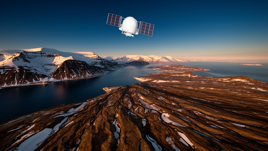
Deep in the High Arctic, where the ground is supposed to stay frozen, scientists have unveiled a new satellite-based service that watches the land move in millimeter increments. The InSAR Svalbard Ground Motion Service, described in a recent communication in the journal Earth Observation, is the first operational ground motion service of its kind in the Arctic, providing open-access maps and time series of surface displacement across parts of the Svalbard archipelago. Built on radar data from the European Copernicus Sentinel-1 satellites, the service offers a baseline record of where and how the ground surface is shifting, information that is becoming urgently relevant as the Arctic warms faster than almost anywhere else on Earth.
The technique behind the service, Interferometric Synthetic Aperture Radar, or InSAR, is elegant in principle. A satellite emits radar pulses toward the ground and records the phase of the reflected signal, which is proportional to the two-way travel distance between the sensor and the surface. By comparing the phase of two images acquired at different times, researchers can measure tiny changes in that distance along the satellite’s line of sight. Individual comparisons, called interferograms, are noisy on their own, but combining many of them yields cumulative displacement time series capable of revealing movements of just a few millimeters per year.
Applying this method in Svalbard, however, is far from straightforward. Snow cover causes the radar phase signal to decorrelate, so the team processed only images from snow-free periods, typically spanning June to October and, in favorable years, from late May to early December. The cold climate and perennially frozen ground produce heterogeneous, nonlinear deformation patterns that demand processing strategies different from those used for temperate mainland services such as InSAR Norway or the European Ground Motion Service, neither of which covers the archipelago. The result is a dataset tailored to permafrost terrain, something that has been lacking despite a growing body of smaller InSAR case studies in polar regions.
The service covers five study areas on Spitsbergen Island: Longyearbyen, Ny-Ålesund, Svea, Hornsund and Kapp Linné. These locations were chosen for their societal and scientific significance, hosting the main Norwegian settlements, research stations, tourist destinations and cultural heritage sites. Roughly sixty percent of Svalbard is glaciated, and most of the remaining terrain sits on permafrost beneath an active layer that freezes and thaws each year. Because the archipelago is among the fastest-warming Arctic regions, permafrost temperatures and active layer thickness are increasing, driving more frequent and faster mass movements as well as long-term subsidence from melting ground ice.
Technically, the products derive from Sentinel-1 C-band radar imagery at a wavelength of about 5.6 centimeters, acquired in the Interferometric Wide swath mode from both ascending and descending orbital geometries. The team applied a spatial multi-looking factor of 8 by 2 pixels, producing a ground resolution of roughly 30 meters, with temporal resolution matching the satellite revisit interval of 6 to 12 days depending on the period. The processing chain included removal of orbital and topographic phase components, filtering to suppress speckle and atmospheric effects, phase calibration, interferogram unwrapping and geocoding, all built around a Distributed Scatterer approach based on the Small Baseline Subset algorithm, which combines partially overlapping interferograms to increase redundancy and reduce noise.
Two complementary product types capture ground dynamics at different timescales. Seasonal products document cumulative short-term displacements within each snow-free period, using image pairs separated by 6 to 48 days, with time series spanning 2016 to 2024 for the ascending geometry and 2018 to 2024 for the descending geometry. These products are suited to identifying rapid changes of up to a couple of decimeters within a single season, such as active layer dynamics or slope movement. Interannual products, by contrast, use image pairs separated by roughly one year and document slow, gradual displacement trends of up to a few centimeters per year, such as subsidence from permafrost degradation or downslope creep.
The scientific payoff is already visible in the results. On slopes, the magnitude of maximum seasonal displacements varies with the rich diversity of periglacial landforms, including solifluction sheets, rock glaciers, rock slope instabilities and debris-covered glaciers, allowing regional-scale mapping of their distribution and kinematics. In flat, sediment-filled valley bottoms, the cyclic subsidence and heave patterns recorded during thawing and refreezing of the active layer vary with sediment frost susceptibility, offering a proxy for mapping ground ice content. The timing of the transition from subsidence to heave even provides an indicator of seasonal freeze-onset in years with little autumn snow cover.
The interannual products add another dimension. In lowland coastal areas, they reveal long-term subsidence likely caused by melting ice at the top of the permafrost, and the time series allow researchers to distinguish areas with relatively linear trends from those showing accelerating or decelerating movement. Fast-moving features such as rock glaciers tend to decorrelate over the long intervals used for interannual pairs, but slower phenomena like solifluction are well captured. Together, the two product families support geohazard assessment, land-use planning, infrastructure management and the protection of cultural heritage sites, while also serving as potential climate change indicators, since ground dynamics respond directly to environmental drivers.
The service was designed with users in mind from the start. Over a three-year development phase funded by the Norwegian Space Agency and the Geological Survey of Norway, the team held workshops and surveys involving stakeholders including the Governor of Svalbard, the Longyearbyen Community Council, the Norwegian Polar Institute and the University Centre in Svalbard, shaping product specifications around real operational needs. The results are freely accessible through a web-based visualisation tool at svalbard.insar.no, released in February 2026, and distributed as CSV files via the Zenodo repository, making the data usable by everyone from polar researchers to local planners.
Looking ahead, the team intends InSAR Svalbard as a long-term service rather than a static release, with regular updates as new Sentinel-1 images arrive and plans to expand coverage toward the full archipelago. Future data sources may include L-band radar from the NASA-ISRO NISAR mission and ESA’s upcoming ROSE-L mission, expected no earlier than 2028, which could improve signal stability over complex surfaces and capture faster-moving processes, though coverage and schedule limitations mean alternatives must still be explored. The researchers hope the platform will set a baseline for similar services across the polar north, potentially evolving into a pan-Arctic ground motion service designed for cold-climate conditions, a capability that existing continental services, built for temperate terrain, cannot yet provide.
Subject of Research: Satellite InSAR monitoring of surface displacement and permafrost dynamics in Svalbard
Article Title: Brief communication: InSAR Svalbard Ground Motion Service – observing surface displacements in the High Arctic
Article References: Bredal, M., Rouyet, L., Wendt, L., Hindberg, H., Stødle, D., Lauknes, T. R., van Oostveen, J., Larsen, Y., Aslan, G., Hauglin, E., Dehls, J., Sundal, A., Odh, A., & Moldestad, D. A. (2026). Brief communication: InSAR Svalbard Ground Motion Service – observing surface displacements in the High Arctic. Earth Observation, 1(1), 121-128. https://doi.org/10.5194/eo-1-121-2026
Image Credits: AI Generated
Keywords: InSAR, Svalbard, permafrost, Sentinel-1, ground motion, remote sensing, Arctic, geohazards, thaw subsidence, frost heave, radar interferometry, climate change
Cite Scienmag News
Denise Maddox. (October 8, 2026). Satellite Radar Now Tracks Ground Motion Across Svalbard’s Thawing Permafrost. Scienmag. https://scienmag.com/satellite-radar-now-tracks-ground-motion-across-svalbards-thawing-permafrost/
Denise Maddox. "Satellite Radar Now Tracks Ground Motion Across Svalbard’s Thawing Permafrost." Scienmag, 8 October 2026, https://scienmag.com/satellite-radar-now-tracks-ground-motion-across-svalbards-thawing-permafrost/. Accessed 8 October 2026.
Denise Maddox. "Satellite Radar Now Tracks Ground Motion Across Svalbard’s Thawing Permafrost." Scienmag. October 8, 2026. https://scienmag.com/satellite-radar-now-tracks-ground-motion-across-svalbards-thawing-permafrost/


