


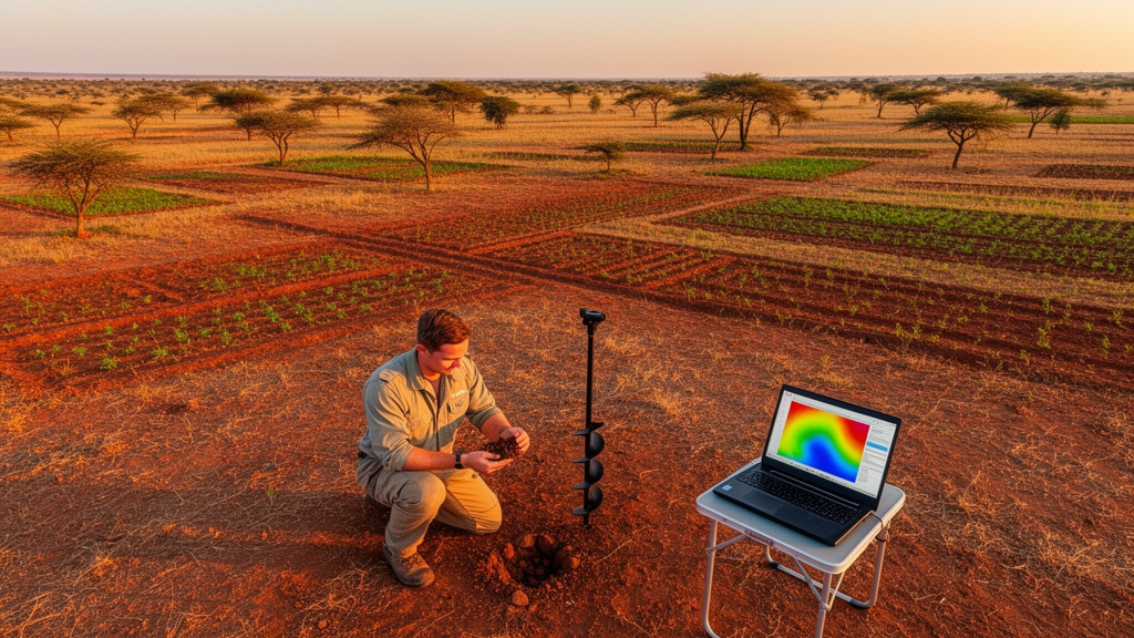
Clay may be the smallest particle in the soil, but it punches far above its weight. It governs how much water a landscape can hold, how tightly nutrients are stored against leaching, how easily roots push through the profile, and even how contaminants move through groundwater. For farmers and land managers in the tropical Guinea Savanna of northern Nigeria, knowing where clay-rich soils begin and end can mean the difference between a thriving field and a failed one. Yet producing accurate maps of clay distribution has long been a stubborn challenge in data-scarce tropical regions, where conventional soil surveys are expensive, slow, and too sparse to capture the enormous spatial variability of the land. A new study published in Discover Soil by Yasin Agono Awwal of Federal University Wukari and Ahmadu Bello University, Sharhabil Musa Yahaya of Ahmadu Bello University, and Chinedu Sunday Ogbonnaya of Abubakar Tafawa Balewa University set out to answer a deceptively simple question: which computational tool draws the best clay map?
The research team compared three machine learning algorithms, Random Forest, Cubist, and Gradient Boosting Machine, against Ordinary Kriging, the classical geostatistical workhorse that has dominated soil mapping for decades. Their laboratory was a roughly 54,000-hectare area covering the Zaria and Sabon Gari Local Government Areas of Kaduna State, a landscape of gently undulating plains, isolated inselbergs, and broad valley bottoms carved by the Galma River and its tributaries. The underlying geology of Precambrian Basement Complex rocks, including migmatite-gneiss, granite gneiss, and schist, weathers into soils that range from sandy loams to heavy clays over remarkably short distances, making the region an ideal stress test for predictive models.
Rather than launching a costly new field campaign, the researchers mined two decades of legacy data. They compiled georeferenced soil profile surveys conducted between 2005 and 2024, retaining only records with complete particle-size distributions determined by the Bouyoucos hydrometer method. After harmonizing units, coordinate systems, and analytical conventions across the different survey campaigns, and screening out duplicates and incomplete records, 156 surface soil observations remained. The clay content in this dataset ranged from a meager 2.3 percent to a hefty 71.0 percent, with a mean of 18.93 percent, a spread that underscores just how heterogeneous savanna soils can be. Sand dominated the texture at a mean of 44.12 percent, followed by silt at 36.99 percent.
The real innovation lay in the environmental covariates the team paired with those soil observations. Using Google Earth Engine, they extracted terrain derivatives from the Copernicus Digital Elevation Model, climate variables from TerraClimate, and spectral bands and vegetation indices from Sentinel-2 satellite imagery. The climatic covariates, mean annual temperature and mean annual precipitation, were averaged over 2004 to 2024, a window that fully encompasses the era of the legacy soil surveys. Because Sentinel-2 data only extend back to 2015, the researchers used dry-season composites from 2016 to 2024, cloud-masked with the QA60 quality band and resampled to a crisp 10-meter resolution, to represent persistent environmental gradients rather than the fleeting conditions of any single year. The team was candid that this temporal mismatch between old soil samples and newer satellite data introduces uncertainty, but the multi-year compositing strategy reduces dependence on any one anomalous season.
Before any modeling began, the researchers ran Pearson correlation analyses to probe the relationships between clay and its potential predictors. Elevation and mean annual precipitation showed the strongest linear associations with clay, at correlation coefficients of minus 0.3 and minus 0.4 respectively, while temperature was weakly positive at 0.2. Intriguingly, the spectral bands and vegetation indices, including NDVI, EVI, and the bare soil index, showed almost no direct linear correlation with clay, with coefficients hovering near zero. On paper, that might suggest the satellite data were useless. The modeling results would prove otherwise.
All four approaches were trained and validated on an identical random 70:30 split of the data, with 70 percent of observations used to build the models and 30 percent withheld for independent validation. The machine learning models ran in Python using the Scikit-learn library, with Random Forest configured for 100 trees and Gradient Boosting for 100 boosting stages, and, notably, no hyperparameter tuning for any algorithm. Ordinary Kriging was implemented in ArcGIS Pro, with clay values log-transformed to improve normality and a Stable variogram model fitted to the empirical semivariogram, using only the training observations so that the comparison remained fair. The authors stress that because the partition was random rather than spatially blocked, nearby observations from different profiles could land in both datasets, meaning the validation scores may be somewhat optimistic compared with a fully spatially independent design.
The verdict was emphatic. Cubist, a rule-based algorithm that combines decision-tree partitioning with localized linear regression, delivered the highest validation accuracy, explaining 67 percent of the variance in clay content with a root mean square error of 8.32 percent and a mean absolute error of 6.37 percent. Random Forest followed at an R-squared of 0.56, and Gradient Boosting at 0.45. Ordinary Kriging trailed far behind, explaining a mere 8 percent of the variability with an RMSE of 12.44 percent. The computational story was just as striking: Cubist finished training and prediction in 0.14 seconds, Random Forest in 0.72 seconds, and Gradient Boosting in 0.35 seconds, while Kriging lumbered through in 7.65 seconds. In a data-scarce tropical setting, an algorithm that is both more accurate and roughly fifty times faster is a compelling proposition.
The maps themselves told a coherent pedological story. All three machine learning models predicted higher clay concentrations along drainage corridors and low-lying landscape positions, particularly in the eastern and central portions of the study area, where moisture accumulates and fine sediments settle out of slowing floodwaters. Elevated, well-drained terrain in the west and south was predicted to be clay-poor. This pattern aligns with classic savanna soil-forming processes, in which runoff transports fine particles downslope and deposits them in stable, low-energy positions. Ordinary Kriging captured the broad regional gradient but produced a conspicuously smoother surface, ranging only from 9.0 to 28.3 percent clay, whereas the machine learning surfaces spanned wider ranges and preserved far more local detail, a direct consequence of their ability to exploit terrain, climate, and spectral information rather than spatial autocorrelation alone.
Perhaps the most intellectually interesting result came from the interpretability analysis. Using SHAP, or SHapley Additive exPlanations, the team quantified how much each environmental covariate contributed to each model’s predictions. In the ensemble mean, mean annual precipitation ranked first with a mean absolute SHAP value of 2.34, followed by elevation at 1.79, the Topographic Position Index at 0.88, EVI at 0.78, and slope at 0.62. The individual models disagreed on the hierarchy: Gradient Boosting leaned hardest on elevation at 3.05, while Cubist was most sensitive to precipitation at 4.22. The paradox is that precipitation showed only weak linear correlation with clay yet emerged as the top predictor, a reminder that model-based importance captures contributions within complex multivariate interactions that pairwise correlation analysis cannot see. The authors caution that these SHAP rankings reflect associations within the fitted models, not proof of direct causal control, especially given precipitation’s low spatial variability in the study area.
The study’s implications reach well beyond Kaduna State. It demonstrates that legacy soil archives, often gathering dust in government offices and university repositories, can be resurrected with free satellite data and open-source machine learning tools to produce decision-grade soil maps in regions where new field campaigns are financially out of reach. The authors are appropriately measured in their conclusions: Cubist is the best performer among the configurations tested, not a universally superior algorithm, and the defeat of Ordinary Kriging should not be generalized to geostatistics as a whole, since hybrid methods such as regression kriging incorporate environmental covariates and might fare differently. Still, for precision agriculture, land capability evaluation, and site-specific soil management across the tropical Guinea Savanna, the message is clear. The future of soil mapping in data-poor landscapes increasingly belongs to algorithms that can learn the hidden relationships between the land’s surface and what lies beneath it, one pixel at a time.
Subject of Research: Comparative evaluation of machine learning algorithms and Ordinary Kriging for digital mapping of soil clay content in a tropical Guinea Savanna
Article Title: Comparative assessment of machine learning algorithms and Ordinary Kriging for predictive mapping of soil clay content in a tropical Guinea Savanna
Article References: Awwal, Y. A., Yahaya, S. M., & Ogbonnaya, C. S. (2026). Comparative assessment of machine learning algorithms and Ordinary Kriging for predictive mapping of soil clay content in a tropical Guinea Savanna. Discover Soil, 3(1), Article 184. https://doi.org/10.1007/s44378-026-00341-7
Image Credits: AI Generated
DOI: 10.1007/s44378-026-00341-7
Keywords: digital soil mapping, machine learning, soil clay content, Ordinary Kriging, Cubist, Random Forest, Gradient Boosting Machine, Sentinel-2, Guinea Savanna, Nigeria, SHAP analysis, environmental covariates
Cite Scienmag News
Teresa Odom. (October 8, 2026). Machine Learning Outperforms Kriging in Mapping Soil Clay Across Nigerian Savanna. Scienmag. https://scienmag.com/machine-learning-outperforms-kriging-in-mapping-soil-clay-across-nigerian-savanna/
Teresa Odom. "Machine Learning Outperforms Kriging in Mapping Soil Clay Across Nigerian Savanna." Scienmag, 8 October 2026, https://scienmag.com/machine-learning-outperforms-kriging-in-mapping-soil-clay-across-nigerian-savanna/. Accessed 8 October 2026.
Teresa Odom. "Machine Learning Outperforms Kriging in Mapping Soil Clay Across Nigerian Savanna." Scienmag. October 8, 2026. https://scienmag.com/machine-learning-outperforms-kriging-in-mapping-soil-clay-across-nigerian-savanna/


