


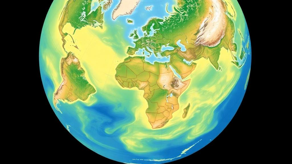
When a forest is cleared, a field is plowed, or a city spreads across farmland, the climate consequences are usually tallied in tonnes of carbon dioxide. But there is a second, quieter lever on the planet’s energy balance that most environmental accounting simply ignores: how brightly the land surface reflects sunlight. A new study published in the Journal of Industrial Ecology by Kathryn Loog of Polytechnique Montreal, together with Anders Bjørn of the Technical University of Denmark and Manuele Margni of Polytechnique Montreal and HES-SO Valais Wallis, tackles this blind spot head-on. The researchers have built a global, spatially and temporally resolved dataset of surface albedo values for 22 land cover types, along with a methodology designed to make those values usable in the environmental impact assessments that guide corporate carbon accounting, life cycle assessment, and climate policy. The work, published on 18 July 2026, represents one of the most concerted efforts yet to bring the reflective power of the land surface into the same ledger as greenhouse gas emissions.
Surface albedo, the fraction of incoming solar radiation that a surface reflects back toward the sky, is a recognized driver of climate change in the physical science literature. Snow-covered boreal forests, dark conifer canopies, bright croplands, and grey urban rooftops each interact with sunlight in profoundly different ways. When land cover changes, so does the amount of solar energy absorbed at the surface, producing a radiative forcing that can either warm or cool the planet independently of any carbon flux. The Intergovernmental Panel on Climate Change acknowledges these biogeophysical effects, and studies stretching back to Robert Betts’ landmark 2000 paper in Nature have shown that afforestation in snowy high latitudes can offset, or even reverse, the carbon benefits of new trees because forests are darker than snow. Yet despite this well-established physics, albedo impacts are rarely quantified alongside greenhouse gas emissions in the assessment frameworks that actually inform decisions.
The barrier, the authors argue, has been data. To calculate the albedo change caused by converting one land cover type to another, an analyst needs albedo values for both the original and the new land cover at the same location, under the same atmospheric conditions, and at the same time of year. Existing simplified methods typically rely on single, static albedo values per land cover type, values that do not capture how albedo fluctuates through the day as the sun’s angle changes, nor how it varies with real atmospheric conditions such as cloud cover and aerosol loading. Albedo is not a fixed property of a surface: it depends on solar zenith angle, on whether the sky is clear or cloudy, on snow cover, and on the structure of vegetation canopies. Averaging all of that complexity into one number per land cover type introduces systematic error, and until now there has been no dataset designed specifically to support the direct calculation of albedo change between land cover types.
Loog and her colleagues set out to close that gap with a methodology that estimates daily-mean blue-sky albedo values for multiple land cover types at the same location. The term blue-sky is significant: it refers to albedo under realistic, mixed atmospheric conditions rather than the idealized clear-sky or entirely overcast scenarios that many remote sensing products assume. The approach draws on MODIS satellite data, accessed through Google Earth Engine, including the MODIS BRDF and albedo model parameters and land cover products, combined with ERA5 reanalysis data from the Copernicus Climate Data Store to characterize atmospheric conditions. By anchoring the estimates to real, spatially specific observations and weighting them toward realistic skies, the methodology produces albedo values that reflect what the atmosphere actually encounters, not a laboratory idealization.
The result is a global climatological dataset of surface albedo values for 22 distinct land cover types, each resolved in space and time. A crucial validation step was statistical: the researchers tested whether the albedo values assigned to each land cover type were genuinely distinguishable from one another, and found that all 22 types were statistically distinct. That matters because the entire premise of land-cover-based albedo accounting rests on the assumption that different land covers have meaningfully different reflectivities. If the distributions overlapped heavily, converting between two types would produce noise rather than signal. The statistical separation confirms that the dataset carries real, physically meaningful information about how land cover shapes the surface energy balance.
The comparison with existing simplified methods is where the study delivers its most striking numbers. When the new dataset was set against values derived from conventional approaches that ignore diurnal fluctuations and realistic atmospheric conditions, the simplified values underestimated surface albedo by 2.7 to 5.8 percent on average. That may sound modest, but the distribution of errors is wide: in some cases the discrepancies reached more than plus or minus 50 percent. For an analyst calculating the climate impact of converting cropland to forest, or of an urban expansion project, an error of that magnitude in the underlying albedo values could flip the sign of the estimated radiative forcing, turning a projected warming into a projected cooling or vice versa. In other words, the simplified numbers are not just imprecise; in edge cases they can be qualitatively wrong.
Why does the diurnal cycle matter so much? Albedo generally increases as the sun sits low in the sky, because light strikes surfaces at grazing angles and interacts with canopy structure and roughness in ways that enhance reflection. A daily-mean albedo that properly weights this variation, hour by hour, differs systematically from a snapshot taken when the satellite happens to pass overhead, typically in mid-morning when the sun is high and albedo is near its daily minimum. Atmospheric conditions compound the effect, since clouds and aerosols alter both the intensity and the angular distribution of incoming radiation. By integrating these effects, the new methodology produces values that better represent the true daily exchange of energy between the surface and the atmosphere, which is precisely the quantity that radiative forcing calculations need.
The practical implications reach into several influential arenas. In life cycle assessment, the standard tool for evaluating the environmental footprint of products and services, land use impacts have long been dominated by biogeochemical considerations such as carbon stock changes, while biogeophysical effects like albedo have remained optional or absent. Researchers including R. M. Bright and collaborators have proposed metrics for converting albedo-induced radiative forcing into carbon dioxide equivalence, and case studies on biofuels, forestry, pavements, and greenhouse agriculture have demonstrated that albedo can rival carbon in importance for certain land-intensive systems. A reliable, globally consistent albedo dataset removes one of the main technical excuses for leaving these effects out. The same logic applies to national and corporate carbon accounting under frameworks such as the Greenhouse Gas Protocol, whose land sector guidance has been grappling with how to treat biogeophysical impacts, and to the evaluation of nature-based climate solutions, where recent studies have warned that tree planting at northern high latitudes may be far less climate-positive than carbon accounting alone suggests.
The dataset and the tooling around it are openly available. The albedo dataset itself is deposited in a Zenodo repository, all input datasets are public, and the authors have released their scripts on GitHub, including a Python-based tool that lets users retrieve albedo values at a 500-meter spatial scale, matching the resolution of the MODIS land cover products. Mann-Kendall trend test results and proxy comparison outputs are available in a separate repository. This openness lowers the barrier for practitioners in life cycle assessment, carbon accounting, and policy analysis to begin experimenting with albedo-inclusive assessments, and it invites scrutiny and improvement of the methodology by the wider research community.
There remain challenges on the road from dataset to decision. Translating albedo change into a CO2-equivalent metric involves methodological choices about time horizons and the decay of radiative forcing that are still actively debated in the literature. The dataset is climatological, describing typical conditions rather than year-to-year variability, and land cover classifications at 500-meter resolution inevitably simplify the mosaic of real landscapes. Nonetheless, the study provides what has arguably been the missing ingredient: a defensible, spatially and temporally specific, physically realistic set of albedo values that can be dropped directly into impact assessment calculations. As governments and corporations increasingly lean on land-based climate strategies, from reforestation to regenerative agriculture to urban greening, the energy reflected back to space by those landscapes will no longer be an afterthought. With this dataset, the mirror-like half of the land-climate equation finally has numbers that accountants, assessors, and policymakers can work with.
Subject of Research: Surface albedo effects of land cover change for climate impact assessment
Article Title: Enhancing climate impact assessment with surface albedo effects of land cover changes: methodology and dataset
Article References: Loog, K., Bjørn, A., & Margni, M. (2026). Enhancing climate impact assessment with surface albedo effects of land cover changes: methodology and dataset. Journal of Industrial Ecology, 30(4), 1869-1884. https://doi.org/10.1007/s44498-026-00127-8
Image Credits: AI Generated
DOI: 10.1007/s44498-026-00127-8
Keywords: surface albedo, land cover change, climate impact assessment, life cycle assessment, radiative forcing, MODIS, remote sensing, carbon accounting, land use, climate policy, biogeophysical effects, environmental impact assessment
Cite Scienmag News
Sloane Callahan. (October 4, 2026). New Global Albedo Dataset Could Reshape How We Count the Climate Cost of Land Use. Scienmag. https://scienmag.com/new-global-albedo-dataset-could-reshape-how-we-count-the-climate-cost-of-land-use/
Sloane Callahan. "New Global Albedo Dataset Could Reshape How We Count the Climate Cost of Land Use." Scienmag, 4 October 2026, https://scienmag.com/new-global-albedo-dataset-could-reshape-how-we-count-the-climate-cost-of-land-use/. Accessed 4 October 2026.
Sloane Callahan. "New Global Albedo Dataset Could Reshape How We Count the Climate Cost of Land Use." Scienmag. October 4, 2026. https://scienmag.com/new-global-albedo-dataset-could-reshape-how-we-count-the-climate-cost-of-land-use/


