


Satellite Images Validate Contrail Formation Models
A new study uses high-resolution satellite imagery to validate contrail formation models, finding 98.3% agreement when using in situ aircraft ...
A new study uses high-resolution satellite imagery to validate contrail formation models, finding 98.3% agreement when using in situ aircraft ...

A modeling framework reveals that climate impacts from hydrogen deployment depend on leakage rates, technology portfolios, and co-emitted methane from ...

A multi-model climate study reveals that agricultural irrigation creates substantial regional radiative forcing hotspots despite producing a minimal net impact ...

Earth system model simulations show the zero emissions commitment stays near zero up to 2 K of warming but reaches ...

A 16-year simulation shows primary brown carbon aerosol in China fell 20.8 percent from 2005 to 2020, driven mainly by ...
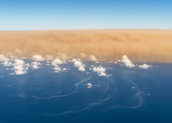
A model study finds that a 60 percent weakening of the Atlantic overturning circulation raises Northern Hemisphere aerosol loads by ...
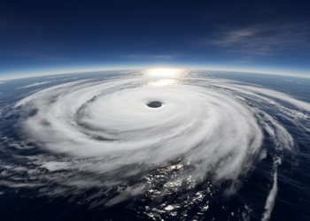
A reanalysis-and-satellite case study of Cyclone Mocha found stronger shortwave cooling than longwave heating over the Bay of Bengal as ...
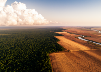
When a forest is cut down or a field is irrigated, the local consequences are easy to picture. Bare ground ...
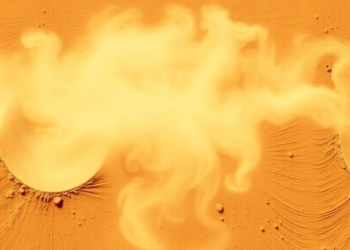
Field measurements of freshly emitted Saharan dust in Morocco show that assumed particle shape can change the retrieved light-absorbing properties ...
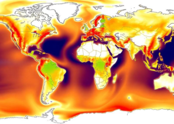
A changepoint analysis of five global temperature datasets reveals coherent regional systems of warming acceleration since 1970, concentrated at Northern ...


Embark on a thrilling journey of discovery with Scienmag.com—your ultimate source for cutting-edge breakthroughs. Immerse yourself in a world where curiosity knows no limits and tomorrow’s possibilities become today’s reality!