


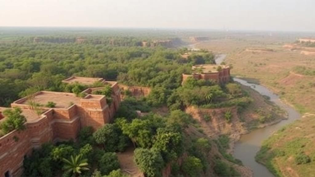
Deep in central India, where the Chambal River has carved a labyrinth of gullies up to 80 meters deep into the earth, scientists have been watching a remarkable transformation unfold from space. A new study published in Discover Geoscience has tracked land degradation across the Chambal Division over 32 years, and the results upend the conventional narrative of relentless decline. Using Landsat imagery from 1992 to 2024 and a sophisticated statistical framework, researchers found that the region’s most severely degraded zones have contracted significantly, even as a quieter crisis has emerged within its forests.
The Chambal region, straddling the tri-junction of Madhya Pradesh, Rajasthan, and Uttar Pradesh, is one of the world’s most geomorphologically complex landscapes. Its infamous badlands, known locally as beehads, were formed by intense gully erosion driven by the Chambal, Kunwari, and Asan rivers. These deeply dissected ravines, with their steep and unstable slopes, have long posed formidable challenges to agriculture and rural livelihoods. Because land degradation affects an estimated 20 percent of Earth’s vegetated surface and more than 1.3 billion people, with economic costs reaching up to US$10.6 trillion, understanding how such landscapes evolve is a matter of global urgency.
Traditional ground-based methods for assessing degradation are labor-intensive, spatially limited, and temporally inconsistent, making long-term monitoring over large areas impractical. The research team, led by Farid Ahmed of Jamia Millia Islamia in New Delhi, instead turned to the sky. They assembled multi-temporal Landsat imagery from sensors 5, 7, 8, and 9, resampled to a uniform 30-meter resolution, and computed eight spectral indices capturing different facets of surface condition: vegetation vigor, soil exposure, moisture, salinity, built-up surfaces, and soil texture.
Among these indicators, the Bare Soil Index measures exposed soil using red, near-infrared, blue, and shortwave-infrared bands, while the Topsoil Grain Size Index detects coarsening of surface particles, a hallmark of erosion. The Soil-Adjusted Vegetation Index corrects for the bright soil backgrounds that plague vegetation monitoring in semi-arid environments, and the Soil Salinity Index flags salt-affected surfaces. The Normalized Difference Moisture Index and Modified Normalized Difference Water Index track vegetation and surface water, respectively. Together, these indices form a multidimensional portrait of land health that no single measure could provide.
But combining eight indices naively would introduce redundancy and statistical distortion. The team therefore applied Pearson correlation analysis as a screening step, using a threshold of |r| greater than or equal to 0.95 to flag overlapping variables, then applied ecological reasoning to decide which indices to keep. NDVI and SAVI were correlated at essentially 1.000, but because SAVI better handles soil brightness in sparsely vegetated terrain, it was retained while NDVI was excluded. Similarly, BSI and the built-up index correlated at roughly 0.99, so NDBI was dropped. Six non-redundant indices survived the screening: BSI, SAVI, NDMI, MNDWI, SSI, and TGSI.
These six were then fused through Principal Component Analysis, a multivariate technique that transforms correlated variables into uncorrelated components ranked by the variance they explain. The outcome was striking. The first principal component accounted for 81 percent of total landscape variance in 1992 and 87 percent in 2024, revealing that soil exposure, moisture deficits, salinization, and textural coarsening do not operate as isolated phenomena but as a single, synchronized degradation gradient. This dominance provided a strong statistical rationale for using PC1 as an objective, data-driven Land Degradation Index, free of the subjective weighting schemes that plague conventional overlay methods.
When the index was classified into five risk categories and mapped, the trajectory became clear. High and Very High degradation zones shrank from 29.37 percent of the division’s area in 1992 to 21.75 percent in 2024, while Low and Very Low categories expanded from 41.66 to 52.65 percent. The most dramatic recovery occurred in the ravines themselves: high-risk ravine exposure fell by 25.85 percent, with nearly half the ravine landscape classified as high or very high risk in 1992 dropping to just over 22 percent by 2024. Barren land showed similar stabilization, and agricultural land remained the most secure category, with nearly 62 percent of its extent in the lowest risk classes by 2024.
The researchers attribute this stabilization largely to large-scale land reclamation policies, including land levelling, gully plugging, terracing, and check-dam construction that have converted badlands into productive agricultural units. Yet the story is not uniformly positive. Forest areas moved in the opposite direction, with high and very high degradation rising from 24.13 percent of forest cover in 1992 to 35.40 percent in 2024, an 11.27 percent increase in vulnerability. The very high risk class within forests nearly doubled. High-resolution imagery confirms these are sparse, scrub-dominated systems with discontinuous canopies and extensive exposed soil, where grazing pressure, fuelwood extraction, and continued erosion are driving surface degradation even as greenness indices show modest gains, a divergence the authors caution may partly reflect soil background effects rather than genuine recovery.
Moisture and salinity dynamics add further nuance. Peak vegetation moisture improved over the study period, but minimum surface water index values declined, indicating intensified hydrological contrast and localized dryness, particularly in the southwestern forest sector. Salinity stress eased in irrigated agricultural zones of the west while increasing in certain forest patches, where sparse, unmanaged vegetation allows capillary action to draw salts to exposed soil surfaces. The findings resonate with national evidence that India contains roughly 6.74 million hectares of salt-affected soils, an area that continues to expand and threatens long-term food security.
The study’s implications extend well beyond the Chambal. By demonstrating that engineered stabilization can succeed while ecological safeguards lag behind, it offers both a model and a warning for semi-arid regions worldwide pursuing Land Degradation Neutrality under Sustainable Development Goal 15.3. The authors argue that policy must adopt a landscape-level approach balancing agricultural expansion, forest conservation, and hydrological regulation, supported by community participation. Future work, they note, should integrate higher-resolution data, ground validation, and socio-ecological modeling to track how ravine-to-agriculture conversions affect biodiversity, groundwater recharge, and forest fragmentation. For now, the Chambal stands as proof that degraded landscapes can heal, provided the healing is measured honestly and extended to every corner of the ecosystem.
Subject of Research: Land degradation assessment in the semi-arid Chambal region using remote sensing indices and multivariate statistics
Article Title: Integrating remote sensing indices and multivariate statistics for land degradation assessment in the semi-arid Chambal region
Article References: Integrating remote sensing indices and multivariate statistics for land degradation assessment in the semi-arid Chambal region. (n.d.). https://doi.org/10.1007/s44288-026-00743-8
Image Credits: AI Generated
DOI: 10.1007/s44288-026-00743-8
Keywords: land degradation, remote sensing, principal component analysis, Chambal ravines, soil erosion, satellite imagery, Landsat, forest degradation, soil salinity, semi-arid, SDG 15, land degradation neutrality
Cite Scienmag News
Violet Maxwell. (October 2, 2026). Satellites Reveal India’s Chambal Ravines Are Healing While Its Forests Quietly Deteriorate. Scienmag. https://scienmag.com/satellites-reveal-indias-chambal-ravines-are-healing-while-its-forests-quietly-deteriorate/
Violet Maxwell. "Satellites Reveal India’s Chambal Ravines Are Healing While Its Forests Quietly Deteriorate." Scienmag, 2 October 2026, https://scienmag.com/satellites-reveal-indias-chambal-ravines-are-healing-while-its-forests-quietly-deteriorate/. Accessed 2 October 2026.
Violet Maxwell. "Satellites Reveal India’s Chambal Ravines Are Healing While Its Forests Quietly Deteriorate." Scienmag. October 2, 2026. https://scienmag.com/satellites-reveal-indias-chambal-ravines-are-healing-while-its-forests-quietly-deteriorate/


