


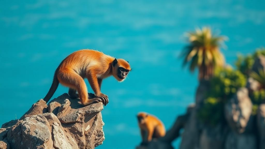
On the Indonesian island of Bintan, an endangered primate is quietly losing ground to golf courses, resorts and roads, and for the first time scientists have mapped exactly where it hangs on. The Bintan langur, a subspecies of the pale-thighed langur known scientifically as Presbytis siamensis rhionis, lives nowhere else on Earth. Yet despite its endangered status on the IUCN Red List, it remains unprotected under Indonesian law, a legal gap that leaves its fate largely in the hands of planners and developers. A new study published in Discover Conservation offers the most detailed picture yet of how this arboreal monkey is distributed across a landscape where tourism is the dominant economic force, and the results carry an urgent warning about the future of one of the world’s most overlooked primates.
The research team, led by Ayu Dewi Karuniawati of Universitas Gadjah Mada and Politeknik Bintan Cakrawala together with colleagues including Muhammad Ali Imron, applied a single-season occupancy model to the Bintan Resorts Tourism Area, a roughly 230 square kilometre stretch of the island’s northern coast. This zone is a mosaic of secondary lowland forest, coastal and mangrove forest, shrubland and built-up areas, containing 21 resorts and hotels within about four square kilometres of development. The area was designed around an eco-island concept, but expanding infrastructure continues to fragment the natural habitat on which the langur depends. Because the species’ entire range overlaps with this tourism landscape, understanding where it survives is not an academic exercise; it is the foundation for any plan that hopes to keep the monkey alive.
Between December 2023 and January 2024, the researchers walked the forest in a systematic grid-based survey. They overlaid a one by one kilometre grid across the study area, producing 232 sampling cells, and within each surveyed grid they traversed at least ten 100 metre transect segments with a 20 metre effective width, amounting to at least one kilometre of survey effort per cell. Over 53 days they covered 182 of the 232 grids, with the remainder treated as missing data because of inaccessibility, time constraints or dense shrubland. Because each grid was visited only once, the team used a clever statistical substitution: they treated the individual transect segments as spatial replicates, a recognised approach for occupancy modelling when repeat visits to remote sites are impractical. Every segment was scored simply as detection or non-detection, generating the detection histories the model required.
The raw numbers were sobering. Langurs were detected at 40 distinct locations, and they turned up in only 26 of the 232 grids, a naive occupancy of just 11.8 percent. But raw detections understate reality, because a shy, arboreal primate is easy to miss even when it is present. The intercept-only model, which ignores environmental covariates, pushed the estimated occupancy probability up to 39.2 percent, with a constant detection probability of just 4.32 percent. In other words, in any given survey segment where a langur group was actually present, the observers had less than a one in twenty chance of seeing it. That figure alone illustrates why occupancy modelling has become an indispensable tool in primate conservation: without correcting for imperfect detection, conservation planners would dramatically underestimate how much habitat the species still uses.
The team then built a suite of candidate models incorporating seven environmental covariates: food availability measured in the field, the Normalized Difference Vegetation Index, the Normalized Difference Building Index, the Normalized Difference Water Index, precipitation from CHIRPS satellite data, Land Surface Temperature derived from Landsat 8 thermal imagery, and distance to roads calculated from official topographic maps. A Spearman correlation test revealed that NDBI and NDVI were strongly negatively correlated, so NDBI was dropped to avoid multicollinearity. Detection was modelled as a function of NDVI and sampling effort. Using Akaike’s Information Criterion with a delta-AIC threshold of two, the researchers identified five statistically indistinguishable top models and averaged them, weighting parameter estimates by each model’s support to guard against selection bias. The best-fitting model, combining food availability, road proximity and vegetation cover, predicted an occupancy probability of 30.2 percent, with a 95 percent confidence interval running from 11.7 to 55.8 percent, and a detection probability of 4.31 percent.
The covariate relationships tell a coherent ecological story. Food availability showed a positive effect on occupancy, confirming the basic principle that folivorous primates cluster where their preferred plants grow. Field observations during preliminary surveys documented the langurs feeding on young leaves from species such as Adinandra dumosa, Syzygium grande and Rhizophora apiculata, flowers from Durio and Hibiscus tiliaceus, and seeds from Adenanthera pavonina, Acacia mangium and Hevea brasiliensis. Land Surface Temperature and NDWI, an index of vegetation water content and health, were also positively associated with occupancy, likely because warmer, well-hydrated vegetation supports the productive growth that herbivores need. Intriguingly, NDVI itself correlated negatively with occupancy, possibly because very dense vegetation reduces access to preferred food resources, even though NDVI showed a positive relationship with detection, perhaps because continuous canopy makes the arboreal langurs easier to spot.
One of the most consequential findings concerns roads. Occupancy was negatively associated with distance from roads, meaning the langurs are disproportionately found close to the island’s vehicle corridors. Roads can generate edge effects that promote the growth of pioneer plants whose young leaves and fruits are exactly what folivorous primates eat, so the pattern makes ecological sense. But it is also a deadly trap. Roadkill incidents have been frequently reported in the Bintan Resorts Tourism Area, and the tourism roads effectively bisect the forest, splitting habitat into left and right sides that arboreal animals must cross on the ground or through the canopy at perilous heights. The study’s overlay of the predicted occupancy map onto the resort masterplan revealed that planned future development coincides with areas of high food plant availability, threatening to destroy precisely the habitat the langurs favour most.
The authors translate these findings into a concrete conservation toolkit. They propose buffer zones around remaining langur habitat to limit encroachment and maintain connectivity, and canopy bridges that would allow langurs and other arboreal wildlife to cross roads safely without descending into traffic, an intervention proven elsewhere to reduce wildlife-vehicle collisions. They also identify an unexpected opportunity: the areas designated as Water Catchment under the master plan currently show low predicted occupancy because of limited canopy cover and open water, but their legal protection from intensive development means they could serve as refugia for langurs displaced by expanding infrastructure, provided that enrichment planting of key food species improves canopy continuity. Because the species lacks legal protection in Indonesia despite its IUCN endangered listing, such landscape-level planning by tourism managers may be the only realistic safeguard it has.
The study is honest about its limits. A single season of data cannot capture seasonal shifts in food availability, breeding cycles or patterns of human activity, and the authors caution that the estimates represent a snapshot rather than a year-round picture. They call for long-term monitoring, greater survey effort and the integration of additional covariates such as seasonal food phenology and predator presence. Still, the broader message resonates far beyond one Indonesian island. Small-island primates are exceptionally vulnerable to anthropogenic pressure, and tourism, which can fund conservation or destroy it, is expanding across exactly these fragile ranges. By showing that spatially explicit occupancy data can be overlaid directly onto development masterplans, the Bintan langur study offers a template for evidence-based wildlife tourism worldwide: find out where the endangered species lives, protect those places before the bulldozers arrive, and build the bridges, literal and institutional, that let development and conservation share the same map.
Subject of Research: Occupancy modelling of the endangered Bintan langur in a tourism landscape on Bintan Island, Indonesia
Article Title: Occupancy modelling for wildlife tourism and conservation planning of endangered Bintan langur (Presbytis siamensis rhionis)
Article References: Karuniawati, A. D., Putra, H. S. A., Sudarmadji, Priyambada, D., & Imron, M. A. (2026). Occupancy modelling for wildlife tourism and conservation planning of endangered Bintan langur (Presbytis siamensis rhionis). Discover Conservation, 3(1), Article 4. https://doi.org/10.1007/s44353-026-00074-2
Image Credits: AI Generated
DOI: 10.1007/s44353-026-00074-2
Keywords: Bintan langur, Presbytis siamensis rhionis, occupancy modelling, primate conservation, wildlife tourism, Indonesia, habitat fragmentation, road mortality, canopy bridges, endangered species, ecotourism, small island ecology
Cite Scienmag News
Margaret Porter. (October 2, 2026). Endangered Island Monkey Clings to a Third of Its Tourism-Dominated Home. Scienmag. https://scienmag.com/endangered-island-monkey-clings-to-a-third-of-its-tourism-dominated-home/
Margaret Porter. "Endangered Island Monkey Clings to a Third of Its Tourism-Dominated Home." Scienmag, 2 October 2026, https://scienmag.com/endangered-island-monkey-clings-to-a-third-of-its-tourism-dominated-home/. Accessed 2 October 2026.
Margaret Porter. "Endangered Island Monkey Clings to a Third of Its Tourism-Dominated Home." Scienmag. October 2, 2026. https://scienmag.com/endangered-island-monkey-clings-to-a-third-of-its-tourism-dominated-home/


