


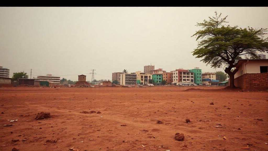
On the eastern fringe of Ibadan, one of Africa’s largest indigenous metropolitan areas, the landscape is telling a story in stages. First the trees and farmland disappear, leaving bare, cleared ground. Then, a decade or so later, the concrete arrives. That two-step sequence, rather than a single leap from vegetation to city, is the central finding of a new study published in Discover Geoscience, which tracked two decades of land transformation across the Akinyele, Lagelu and Egbeda corridor of southwestern Nigeria and projected what the region will look like by 2050.
The research, led by Remilekun Olaide Olaiya of Tai Solarin Federal University of Education and Olayinka Akinsumbo Ajala of Obafemi Awolowo University, challenges the way scientists and planners usually think about urban growth. Most land-change studies treat each conversion as an independent event: a forest becomes a suburb, a farm becomes a road. But the Ibadan evidence points to something more structured, a path-dependent process in which the state of the land today shapes what it becomes tomorrow. In this framing, bare land is not a dead end or a stable category. It is a waiting room.
To uncover that sequence, the team assembled a remarkable satellite record. Using cloud-free dry-season imagery from four different Landsat sensors, Landsat 7 in 2005, Landsat 5 in 2010, Landsat 8 in 2015 and Landsat 9 in 2025, all at 30-metre resolution, they classified the landscape into four categories: built-up area, bare land, vegetation and water. The images were carefully pre-processed, converted to top-of-atmosphere reflectance and atmospherically corrected with the Dark Object Subtraction method, so that differences between sensors and years could not masquerade as genuine change. Ground-truthing combined a 2025 field survey of 180 points recorded with handheld GNSS receivers and historical high-resolution Google Earth imagery for the earlier epochs.
The numbers are striking. In 2005, vegetation covered 688 square kilometres, more than two-thirds of the corridor, while built-up land occupied just 87.3 square kilometres, or 8.39 percent. By 2015, the picture had flipped dramatically: bare land had surged to 484 square kilometres, becoming the dominant class, while vegetation had lost nearly half its extent. Built-up land had more than doubled to 199.5 square kilometres. Then, between 2015 and 2025, the pattern reversed again. Bare land shrank by 215.9 square kilometres as built-up land climbed to 373 square kilometres, 35.83 percent of the corridor. Land that had been cleared in the first decade was being paved over in the second.
The sequencing becomes unmistakable when the transition matrices are visualised as Sankey flow diagrams, where the width of each link is proportional to the area converted. The single largest flow was vegetation to bare land, 333.5 square kilometres, followed by bare land to built-up land at 173.5 square kilometres. Direct vegetation-to-built-up conversion, the pathway most studies implicitly assume, accounted for only 112.2 square kilometres. Meanwhile, built-up land showed complete persistence: every square kilometre urban in 2005 was still urban in 2025. Cities, once established, do not give land back.
The spatial pattern reinforced the temporal one. Kernel density hotspot analysis, which converts newly built-up pixels into a continuous surface of growth intensity, showed that between 2005 and 2015 the hottest expansion zones were confined to Lagelu and southern Egbeda, while most of Akinyele remained quiet. In the following decade, very-high-intensity hotspots spread across Lagelu and Egbeda and pushed into Akinyele, reflecting infilling and densification of previously cleared ground. The result is a pronounced south-to-north urbanisation gradient, with growth radiating from the existing core along major transport corridors, a pattern familiar from other rapidly expanding African metropolitan fringes.
The ecological cost is measured not only in lost hectares but in shattered habitat structure. Using morphological spatial pattern analysis, the researchers found that the number of core vegetation patches, large intact habitat areas, collapsed from 82 to 21 over the study period. Total core area fell from 482.8 to 132.6 square kilometres, mean patch size dropped from 6.42 to 1.58 square kilometres, and the Landscape Shape Index, a measure of edge complexity, nearly doubled from 14.62 to 27.34. Patch density more than doubled. In plain terms, what remains of the corridor’s vegetation is increasingly chopped into small, isolated, edge-exposed fragments, a condition that ecologists consider a more sensitive indicator of stress than raw area loss alone.
What happens next depends on whether recent history repeats itself, and the team built a model to test exactly that. They coupled a first-order Markov chain, which estimates the probability of each land class converting into every other class, with a cellular automata component that allocates change spatially using a 5-by-5 contiguity filter, so that new growth clusters next to existing development. Consolidated built-up cells were treated as absorbing states, physically barred from reverting. Before projecting forward, the model was hindcast: calibrated on 2005 to 2015 data and asked to simulate 2025, then compared cell by cell against the independently classified 2025 map. It scored a standard Kappa of 0.89 and a Figure of Merit of 0.36, figures consistent with the best-performing land-change models in the literature.
Run forward to 2050, the validated model delivers a sobering scenario. Built-up land is projected to reach approximately 580 square kilometres, up from 373 in 2025, while vegetation declines to 198.3 square kilometres, less than a third of its 2005 extent. Bare land continues its role as the conveyor belt, progressively converted to urban uses as the vegetation reservoir shrinks. The Vegetation-to-Bare-Land-to-Built-up sequence persists through the projection rather than giving way to direct conversion, echoing findings from Greater Cairo and other rapidly urbanising Global South landscapes, and aligning with United Nations projections that Africa will experience the fastest urban growth on Earth through mid-century.
The policy implications may be the study’s most valuable contribution. Because land clearing reliably precedes construction, the bare-land stage represents a critical and identifiable intervention window. During the vegetation stage, the authors argue, planners should prioritise conservation zoning, urban growth boundaries and enforcement of statutory plans. Once land is cleared, development control, land banking and time-bound permits can regulate speculation before concrete sets. After build-out, the focus shifts to infill, densification and transit-oriented development. The authors caution that their projection is a conditional continuation scenario, not a deterministic forecast, and that the model does not capture future policy shifts, economic shocks or the fine-scale informal development that 30-metre pixels cannot resolve. But the core message stands: peri-urban transformation is not a roll of the dice. It is a sequence with recognisable stages, and the moment to steer it is while the ground is still bare.
Subject of Research: Path-dependent peri-urban land transformation and simulated urban expansion to 2050 in the Ibadan corridor, Nigeria
Article Title: Path dependent peri urban land transformation and urban expansion in Ibadan Nigeria
Article References: Olaiya, R. O., & Ajala, O. A. (2026). Path dependent peri urban land transformation and urban expansion in Ibadan Nigeria. Discover Geoscience, 4(1), Article 381. https://doi.org/10.1007/s44288-026-00749-2
Image Credits: AI Generated
DOI: 10.1007/s44288-026-00749-2
Keywords: peri-urban transformation, urban expansion, Ibadan, Nigeria, Landsat, land-use change, CA-Markov model, Sankey diagram, landscape fragmentation, remote sensing, path dependency, Sub-Saharan Africa
Cite Scienmag News
Violet Maxwell. (October 2, 2026). Bare Ground Before the City: Ibadan’s Predictable Path of Urban Expansion. Scienmag. https://scienmag.com/bare-ground-before-the-city-ibadans-predictable-path-of-urban-expansion/
Violet Maxwell. "Bare Ground Before the City: Ibadan’s Predictable Path of Urban Expansion." Scienmag, 2 October 2026, https://scienmag.com/bare-ground-before-the-city-ibadans-predictable-path-of-urban-expansion/. Accessed 2 October 2026.
Violet Maxwell. "Bare Ground Before the City: Ibadan’s Predictable Path of Urban Expansion." Scienmag. October 2, 2026. https://scienmag.com/bare-ground-before-the-city-ibadans-predictable-path-of-urban-expansion/


