


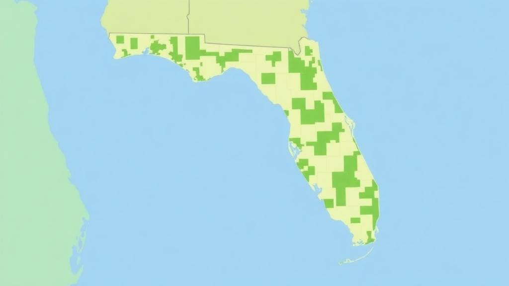
Florida’s most ambitious conservation experiment, the Florida Wildlife Corridor, may hinge on just 1.6 percent of its land. That is the striking conclusion of a new statewide analysis published in Discover Conservation, in which researchers at the University of Florida’s Center for Landscape Conservation Planning, the Florida Natural Areas Inventory, and collaborators mapped, pixel by pixel, where human pressure is squeezing wildlife movement across the corridor’s ten most critical linkages. The team found that high-value pinch points, narrow zones where animal movement is funneled through constrained passages, occupy only about 70,400 hectares of the roughly 4.45 million hectares of Priority 1 linkage land, yet they channel 57 to 58 percent of the corridor’s top-tier connectivity flow. In other words, a tiny fraction of real estate is doing a disproportionate share of the ecological work that keeps panthers, black bears, and hundreds of other species moving across one of the fastest-growing states in America.
The study’s foundation is a new, spatially explicit Human Modification Index, or HMI, built specifically for Florida at a 10-meter resolution, far finer than the 1 to 5 kilometer grids of global datasets such as the Human Footprint or Global Human Modification. Rather than relying on coarse land cover categories, the researchers layered statewide geospatial data on infrastructure development, population density, transportation networks, energy production, agriculture, recreation, and pollution. Each stressor was ranked for both magnitude, meaning the degree of ecological alteration it causes, and footprint, the geographic spread of its influence. Distance decay functions then modeled how the impact of a feature, say a major highway, fades with distance, strongest within 500 meters and effectively vanishing by 2 kilometers. Because decay distances borrowed from national models might overestimate regional impacts, the team ran three scenarios: high, low, and no distance decay, testing how sensitive their conclusions were to assumptions about how far human influence reaches.
To combine these many stressor layers without the mathematical pitfalls of simple addition, the researchers used a fuzzy sum algorithm. Where additive approaches can inflate cumulative pressure simply by counting more variables, the fuzzy sum formula, which computes one minus the product of one minus each stressor value, integrates overlapping pressures while avoiding overestimation when stressors are not independent. The result is a continuous gradient of human influence across the entire state rather than a patchwork of categorical land use classes. This gradient then served as a resistance surface for Omniscape, a connectivity modeling tool implemented in Julia that simulates omnidirectional wildlife movement across heterogeneous landscapes using a moving-window framework. Higher human modification means higher resistance to movement, and the model’s outputs, cumulative current flow and normalized current flow, reveal both broad connectivity patterns and the channelized, intensified flow zones ecologists call pinch points.
The analysis focused on the ten critical linkages of the Florida Wildlife Corridor’s Priority 1 region, the highest-value segments of a network formalized by the Florida Legislature through the Florida Wildlife Corridor Act of 2021. These linkages, ranging from 75 to 160 kilometers in length, were identified through decades of planning under the Florida Ecological Greenways Network, a blueprint maintained by the University of Florida in collaboration with the Florida Department of Environmental Protection and the Florida Natural Areas Inventory. The stakes are considerable. Florida hosts roughly 16,000 native species, 690 of which are considered imperiled or at risk, and 133 species or subspecies legally protected under state and federal endangered species laws. Meanwhile the state’s population has surged from about 2.7 million in 1950 to 22.8 million in 2023, with projections exceeding 33 million by 2070, and 82 percent of the Southeast’s Conservation Opportunity Areas are threatened by future housing development.
The researchers then took a step that sets this work apart: they multiplied their connectivity layers by biodiversity data to produce a novel composite index. Cumulative current flow was combined with normalized current flow classifications, impeded, diffuse, channelized, and intensified, and then multiplied by potential habitat richness, drawn from a dataset tracking up to 62 rare or vulnerable terrestrial vertebrate species, and by priority natural communities such as sandhill, pine flatwoods, and coastal wetlands ranked by global rarity. The top 20 percent of these composite scores defined the high-priority areas. The logic is elegant: a pinch point matters most when it is also rich in species and rare habitats, because losing it would simultaneously sever a movement corridor and destroy irreplaceable biodiversity. Across the ten linkages, these high-value composite pinch points carry 58 percent of top-tier connectivity flow while covering just 1.6 percent of the land.
Vulnerability, however, is far from uniform. The proportion of top flow concentrated in pinch points ranges from 49 percent in the Kissimmee–Caloosahatchee linkage to 77 percent in Eglin–Apalachicola. Three corridors, Eglin–Apalachicola, Suwannee, and Nature Coast, exceed 0.64 in flow-to-pinch-point ratio, marking them as the most severe bottlenecks where even minor degradation could fragment habitats and undermine the corridor’s entire function. The Ocala–St. Johns–Kissimmee linkage exemplifies the dynamic, holding the largest share of constrained movement with 14,810 hectares in the top 20 percent of cumulative current flow and the largest pinch point area at 8,200 hectares. At the other end of the spectrum, the vast Caloosahatchee–Big Cypress linkage, spanning roughly 1.4 million hectares, retains the largest extents of minimally modified habitat, while linkages such as Osceola–Ocala, Nature Coast, and Suwannee retain only 28, 86, and 103 hectares respectively of no-decay refugia, signaling pervasive fragmentation.
Perhaps the most consequential innovation is economic. By clipping the 2022 Florida property parcels database to the critical linkages, removing parcels already within managed conservation areas or national conservation easements, the team attached just value and land value figures to the highest-priority pinch points. The numbers are sobering: just value across the top 20 percent of pinch point composites exceeds 948 million dollars, with land value alone surpassing 307 million dollars. Value is intensely concentrated. Ocala–St. Johns–Kissimmee alone accounts for 436 million dollars in just value, roughly 46 percent of the total, followed by Nature Coast at 140 million and Kissimmee–Caloosahatchee at 106 million. Together these three linkages represent more than 72 percent of estimated pinch-point protection costs, and the study suggests the highest-value composite areas, though only 1.6 percent of linkage land, could require up to one billion dollars to protect.
That concentration cuts both ways. On one hand, it reveals intense development pressure bearing down on exactly the places wildlife needs most. On the other, it suggests outsized returns on conservation investment: Nature Coast’s pinch points span just 3,130 hectares, 2.8 percent of that linkage, yet carry 140 million dollars in just value, while Eglin–Apalachicola’s 8,744 hectares of pinch points, 2.6 percent of its area, hold 66 million dollars in market value. Modest acquisitions or easements in these hotspots could therefore yield disproportionate ecological and economic benefits. The authors frame these parcels as ecological infrastructure, assets whose protection advances both biodiversity and resilience, and their classification scheme, sorting corridors by pinch-point concentration and economic value, gives planners a practical triage tool for deciding where acquisition, easements, or incentives will matter most.
The policy context is equally significant. Florida’s conservation programs, from the Land Conservation Act of 1972 through Preservation 2000 and Florida Forever, have collectively secured more than 1,011,715 hectares statewide. Funding, however, has been volatile: annual appropriations of 300 million dollars before the 2008 recession collapsed to roughly 30 million per year between 2009 and 2021, before the Florida Wildlife Corridor Act revitalized the state’s commitment to approximately 300 million dollars annually. Even so, more than 3.6 million hectares of the Florida Ecological Greenways Network remain unprotected and vulnerable to conversion. Because corridor lands are largely private, conservation easements, payments for ecosystem services, and incentive programs for landowners will be essential, alongside emerging initiatives such as Corridor Compatible Communities, which apply landscape ecology principles to development that proves unavoidable.
The authors are candid about limitations. Their index and current-flow outputs are modeled abstractions, sensitive to input data quality, parameter choices, and decay assumptions, and factors like invasive species, small-scale habitat degradation, and climate indicators remain underrepresented. Notably, many high-value pinch points in the Nature Coast and Suwannee linkages overlap floodplains, aquifer recharge zones, and areas projected to face sea level rise, suggesting that corridor protection could double as climate adaptation. Future work, they note, could integrate cost-effectiveness optimization frameworks such as Marxan to prioritize parcels by return on investment. For now, the message is clear and urgent: Florida’s wildlife corridor will live or die not across its millions of hectares, but in a handful of narrow, expensive, irreplaceable passages, and the window to secure them is closing as the state’s population races toward 33 million.
Subject of Research: Mapping human modification and connectivity conservation priorities in the Florida Wildlife Corridor
Article Title: Mapping human modification and conservation priorities across critical linkages of the Florida Wildlife Corridor
Article References: Bohnett, E., Hoctor, T., O’Brien, M., Thompson, E., Smith, D. J., Frank, K., Oetting, J., & Noss, R. (2026). Mapping human modification and conservation priorities across critical linkages of the Florida Wildlife Corridor. Discover Conservation, 3(1), Article 10. https://doi.org/10.1007/s44353-026-00078-y
Image Credits: AI Generated
DOI: 10.1007/s44353-026-00078-y
Keywords: Florida Wildlife Corridor, human modification index, ecological connectivity, pinch points, Omniscape, habitat fragmentation, conservation easements, land valuation, biodiversity, wildlife corridors, Florida Ecological Greenways Network, landscape ecology
Cite Scienmag News
Margaret Porter. (October 1, 2026). Tiny Bottlenecks Carry Most of Florida Wildlife Corridor’s Connectivity, New Map Reveals. Scienmag. https://scienmag.com/tiny-bottlenecks-carry-most-of-florida-wildlife-corridors-connectivity-new-map-reveals/
Margaret Porter. "Tiny Bottlenecks Carry Most of Florida Wildlife Corridor’s Connectivity, New Map Reveals." Scienmag, 1 October 2026, https://scienmag.com/tiny-bottlenecks-carry-most-of-florida-wildlife-corridors-connectivity-new-map-reveals/. Accessed 1 October 2026.
Margaret Porter. "Tiny Bottlenecks Carry Most of Florida Wildlife Corridor’s Connectivity, New Map Reveals." Scienmag. October 1, 2026. https://scienmag.com/tiny-bottlenecks-carry-most-of-florida-wildlife-corridors-connectivity-new-map-reveals/


