


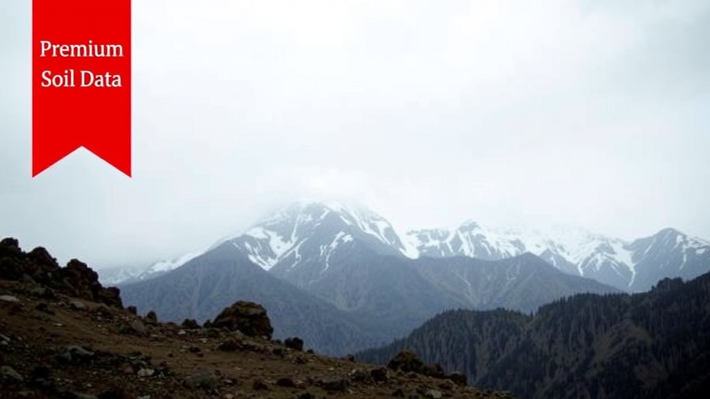
In August 2023, the Indian Himalayan states of Himachal Pradesh and Uttarakhand were battered by one of the most destructive heavy rainfall episodes in their recorded history. Between August 12 and 16, an anomalous northward swing of the monsoon trough, reinforced by a Western Disturbance, wrung torrential rain out of moisture-laden air forced upward over some of the steepest terrain on Earth. Weather stations across Himachal Pradesh logged extraordinary daily totals: Kangra Aero recorded 273.4 millimeters, Sujanpur Tira 254 millimeters, and Dharmsala 250.2 millimeters in a single day, all far above the 115.6 millimeter threshold that defines a very heavy rainfall event. Rivers such as the Beas swelled over their banks, more than 1,000 roads were blocked by landslides, entire communities in Mandi and Kullu were cut off, and the disaster claimed 71 lives in Himachal Pradesh alone. In Uttarakhand, where districts such as Dehradun, Chamoli, and Pauri Garhwal received more than 200 millimeters within 24 hours, landslides severed the Rishikesh-Badrinath and Gangotri highways, stranded travelers, damaged bridges and hydropower facilities, and killed 13 people with many more reported missing.
For forecasters, events like this are among the hardest problems in numerical weather prediction. The northwestern Himalaya presents a brutal combination of challenges: elevations that climb to roughly six kilometers, sparse surface observations, unreliable satellite rainfall estimates, and a limited radar network. Global and regional models struggle to represent how moisture converges, how convection organizes, and how the terrain itself modulates precipitation when the grid cells of a model are coarse compared with the landscape they are trying to describe. A new study published in Discover Geoscience by Vijay Vishwakarma, Chandra Shekhar Satapathy, and Sandeep Pattnaik of IIT Bhubaneswar, together with Rajendra Jenamani of the India Meteorological Department and Mihir Kumar Das, argues that a crucial piece of the puzzle lies not in the sky but underfoot: the initial state of the land surface, and in particular the soil moisture with which a model begins its forecast.
The research team used the Weather Research and Forecasting model, version 4.2.1, in a two-nest configuration with grid spacings of 9 and 3 kilometers and 35 vertical levels reaching to 50 hectopascals. Initial and lateral boundary conditions came from the ERA5 global reanalysis of the European Centre for Medium-Range Weather Forecasts at 0.25 degree resolution. The central innovation was the use of the High-Resolution Land Data Assimilation System, or HRLDAS, version 3.7.1, which was integrated continuously from January 2008 through August 2023 using forcing data from the Global Land Data Assimilation System. This long spin-up allowed realistic, internally consistent fields of soil moisture, soil temperature, and canopy water content to evolve over the Indian region, which were then used to replace the default soil moisture in the model’s initial conditions. In parallel, the team compared two land use and land cover datasets: the long-standing global USGS classification and a far more current Indian dataset derived from the Indian Space Research Organisation’s Resourcesat-1 Advanced Wide Field Sensor, which classifies Indian land cover at 56 meter native resolution and captures recent changes in vegetation, agriculture, and urbanization.
The experimental design was deliberately exhaustive. Six different parameterization schemes were selected for each of three families of model physics: cloud microphysics, cumulus convection, and the planetary boundary layer. Combined with the two land cover datasets and the two land initialization approaches, this yielded 72 numerical simulations spanning lead times of up to four days. These were organized into eight control ensembles, which used conventional land states, and eight HRLDAS ensembles, which used the assimilated land states. Forecast skill was evaluated against daily rainfall from the India Meteorological Department at 0.25 degree resolution, station-level observations from 15 gauges in Himachal Pradesh situated between roughly 850 and 3,000 meters elevation, and satellite retrievals from the Global Precipitation Measurement mission’s IMERG product. The primary verification metric was the absolute percentage error between simulated and observed 24-hour accumulated rainfall.
The results were striking. On the peak day of the event, the ensembles built on ISRO land cover data and HRLDAS soil moisture achieved an absolute percentage error of about 32 percent across the Himachal Pradesh stations, while the control ensembles exceeded 40 percent. By day 3 of the forecast, as the event decayed, the HRLDAS ensembles maintained errors near 20 percent, whereas the control ensembles drifted above 50 percent, unrealistically amplifying their errors as the simulation progressed. The improvement was most pronounced at low-elevation stations, where the model’s 3-kilometer grid can better resolve the sub-grid processes that generate rain. District-scale analysis using Taylor diagrams reinforced the picture: HRLDAS ensembles showed stronger pattern correlations, above 0.3 and reaching roughly 0.6 for the best configurations, and lower normalized standard deviations than their control counterparts, which frequently doubled the observed spatial variability.
The study also quantified which physical processes matter most over this terrain. Ensembles grouped by microphysics scheme produced the most realistic rainfall distributions, followed by those grouped by cumulus parameterization, with planetary boundary layer ensembles performing weakest. This ordering suggests that the representation of cloud and precipitation microphysics, the processes by which vapor condenses into droplets and ice and grows into rain and snow, exerts dominant control over simulated rainfall in the Himalaya, more so than the treatment of turbulent mixing in the boundary layer. Categorical verification using the equitable threat score and probability of detection showed the HRLDAS ensembles peaking on day 2, with threat scores near 0.2 and detection probabilities near 0.5 for heavy rainfall thresholds, while cumulative distribution functions and relative operating characteristic curves confirmed that the ISRO-based HRLDAS ensembles aligned most closely with observations.
Perhaps the most physically illuminating part of the analysis examined the vertical structure of the simulated storms using contoured frequency by altitude diagrams of radar reflectivity and hydrometeors. During the peak 24 to 72 hours of the event, the HRLDAS ensembles displayed enhanced reflectivity at mid-to-upper altitudes, indicating more robust convective activity, along with a more realistic vertical partitioning of hydrometeors: more liquid water in the lower troposphere and more ice-phase particles aloft. This vertical arrangement is exactly what is expected in organized monsoon convection over mountains, where warm-rain processes low in the cloud and mixed-phase processes higher up jointly determine how much rain reaches the surface. The control ensembles, by contrast, misplaced hydrometeor mass in the vertical, overproducing both liquid and solid species in the mid-troposphere. The authors interpret this as evidence that better land initialization strengthens the land-atmosphere coupling that feeds moisture and instability into the convective systems responsible for the disaster.
The study is candid about remaining failures. Every ensemble, regardless of configuration, underestimated rainfall over the high-altitude districts of Himachal Pradesh, including Chamba, Kullu, and Lahul and Spiti, which sit above 3,000 meters and registered rainfall vulnerability index values above 0.75 in observations. The rainfall vulnerability index, a normalized measure of district-scale rainfall intensity, agreed well with satellite observations across most of Uttarakhand, where terrain is comparatively smoother and lower, but the models could not replicate the observed vulnerability of the highest Himachal districts. The authors attribute this to sub-grid-scale terrain-induced processes that remain unresolved even at 3-kilometer resolution, compounded by coarse forcing data and the scarcity of high-altitude observations. They argue that dense networks of meteorological observatories in these locations, along with convection-permitting finer-resolution configurations, radar and satellite data assimilation, and coupled atmosphere-land assimilation frameworks, are needed to close the gap.
The broader significance of the work extends well beyond a single disaster. Heavy rainfall events are projected to intensify under global warming, following the Clausius-Clapeyron relationship by which a warmer atmosphere holds more water vapor, and the Himalayan states, with their dense biodiversity, critical infrastructure, and thriving tourism economy, are acutely exposed. The finding that assimilated, long-spin-up soil moisture combined with an up-to-date national land cover dataset can cut forecast errors by nearly a third on the peak day of a catastrophic event carries direct operational weight. The authors suggest that HRLDAS-based land initialization is ready for implementation within operational numerical weather prediction systems, where it could strengthen impact-based early warning, give disaster response agencies more lead time, and ultimately save lives in one of the world’s most rainfall-vulnerable mountain regions. The message is simple and consequential: to predict what falls from Himalayan skies, forecasters must first know what lies beneath them.
Subject of Research: Improving ensemble-based heavy rainfall forecasting over the Indian northwestern Himalaya using high-resolution land data assimilation and updated land use datasets
Article Title: Improvement in ensemble-based localized rainfall forecast skills over the Indian northwestern Himalaya states using initial states from a high-resolution land data assimilation system
Article References: Vishwakarma, V., Satapathy, C. S., Pattnaik, S., Jenamani, R., & Das, M. K. (2026). Improvement in ensemble-based localized rainfall forecast skills over the Indian northwestern Himalaya states using initial states from a high-resolution land data assimilation system. Discover Geoscience, 4(1), Article 368. https://doi.org/10.1007/s44288-026-00746-5
Image Credits: AI Generated
DOI: 10.1007/s44288-026-00746-5
Keywords: heavy rainfall events, WRF model, HRLDAS, soil moisture, land use land cover, Himalaya, monsoon, ensemble forecasting, numerical weather prediction, Himachal Pradesh, Uttarakhand, disaster preparedness
Cite Scienmag News
Violet Maxwell. (September 26, 2026). Better Soil Data Sharpen Deadly Himalayan Rainfall Forecasts, Study Finds. Scienmag. https://scienmag.com/better-soil-data-sharpen-deadly-himalayan-rainfall-forecasts-study-finds/
Violet Maxwell. "Better Soil Data Sharpen Deadly Himalayan Rainfall Forecasts, Study Finds." Scienmag, 26 September 2026, https://scienmag.com/better-soil-data-sharpen-deadly-himalayan-rainfall-forecasts-study-finds/. Accessed 26 September 2026.
Violet Maxwell. "Better Soil Data Sharpen Deadly Himalayan Rainfall Forecasts, Study Finds." Scienmag. September 26, 2026. https://scienmag.com/better-soil-data-sharpen-deadly-himalayan-rainfall-forecasts-study-finds/


