


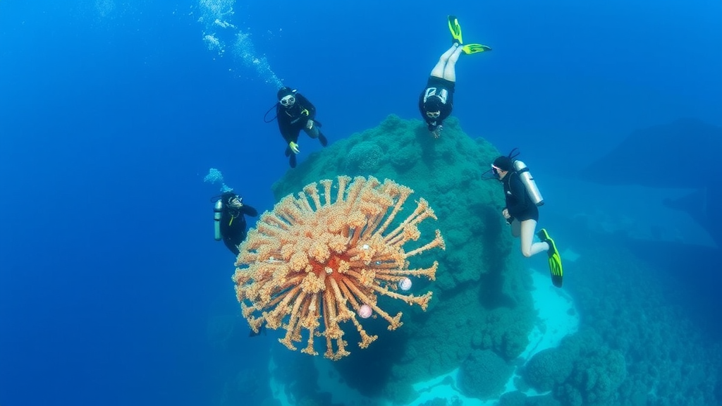
A small Caribbean archipelago in Panama has become the unlikely stage for an experiment in democratized ocean science. Between July 2023 and September 2025, teams of trained citizen divers repeatedly surveyed five fringing reef sites around Isla Solarte in Bocas del Toro, producing one of the most intensive open-access reef monitoring datasets ever assembled for the area. The effort, led by Ankay Conservation and described in the journal Discover Oceans, generated 421 survey transects, of which 389 survived strict quality screening: 275 benthic transects documenting what covers the seafloor, and 114 fish transects counting the animals swimming above it. The result is a site-level baseline for reefs that, despite decades of regional research, had no recent publicly available record combining benthic cover, coral health, structural relief, and fish communities. Published at a moment when coral reefs worldwide are under thermal siege, the dataset offers both a scientific reference point and a test of whether ordinary divers can collect data good enough to matter.
The scientific motivation is sobering. Caribbean reefs have lost roughly 80 percent of their average hard coral cover over three decades, collapsing from around 50 percent in the 1970s to about 10 percent by the early 2000s, driven by a compounding mix of overfishing, nutrient pollution, disease outbreaks, and climate-driven bleaching. The monitoring window for Isla Solarte overlapped the fourth global coral bleaching event, confirmed by NOAA and the International Coral Reef Initiative in 2024, with bleaching-level heat stress recorded across every major ocean basin including the Caribbean. Against that backdrop, sustained and standardized local monitoring is essential to separate natural variability from human-induced decline and to judge whether conservation measures are working. Yet while large programs such as NOAA’s National Coral Reef Monitoring Program cover U.S. jurisdictions, and earlier efforts like CARICOMP monitoring in Bocas del Toro and fifteen years of Smithsonian-affiliated surveys have built an important regional record, recent open datasets integrating multiple survey types at named Isla Solarte sites simply did not exist.
The logistics of the project are as interesting as the ecology. Rather than relying on occasional volunteers, Ankay Conservation ran a residential model: participants lived on site for multi-week stints, completed six to eight days of preparatory training with daily lectures and in-water identification exercises, and then executed intensive survey windows under staff supervision. This schedule produced 175 unique survey dates across roughly two years, with a median interval of just one day between active survey dates and an average of 16.9 surveys per active month, peaking at 42. Between July 2023 and August 2025, 48 trained participants completed the benthic work, while 19 others handled fish surveys after separate training. Benthic teams laid 30-meter transects parallel to the reef contour, holding depth within about two meters, and sampled substrate every 25 centimeters, yielding 120 point observations per transect. At each point they recorded the organism or substrate directly beneath the tape, a classic point-intercept approach adapted from established reef monitoring principles.
Where the transect line crossed live hard coral, observers logged far more than presence. They classified growth form into seven morphotypes, from massive and encrusting to branching, brain-like meandroid, leaf-like plating, solitary, fleshy, and digitate forms, and they recorded the coral’s condition using standardized field codes: healthy, degraded, bleached, dead, or diseased. Degradation was graded as mild when roughly 10 to 50 percent of the visible coral surface showed tissue loss or overgrowth, and heavy beyond that threshold. Bleaching was split into paling, partial, and full categories. Disease observations included yellow band, black band, and white tissue-loss signs coded under a broad white band disease field code, with the authors careful to note that these were visual field observations rather than laboratory-confirmed diagnoses. The Atlantic and Gulf Rapid Reef Assessment protocol, known as AGRRA, served as the terminological and structural backbone, with tighter methodological alignment for the fish surveys than for the benthic design.
Fish teams used a modified belt transect visual census. After laying a 30-meter tape, they waited five minutes for fish behavior to settle, then two divers swam the line in parallel for ten minutes, each independently recording all fishes within a one-meter belt, covering 60 square meters per transect. Every individual was assigned to species and to one of six size classes, from under 5 centimeters to over 40. The target list drew from 17 families plus invasive lionfish, spanning commercially valuable snappers, groupers, and jacks alongside ecologically critical herbivores such as parrotfishes and surgeonfishes. Structural complexity was estimated by measuring maximum relief, the height of the tallest coral or rock above the lowest substratum, at six fixed points along each transect. To keep data honest, staff reviewed at least the first two surveys from each participant, held post-dive sheet checks, and excluded incomplete records, retaining only benthic transects with 115 to 120 valid point observations.
The ecological picture that emerged is one of stressed but spatially patchy reefs. Mean live coral cover across all transects was just 6.45 percent, ranging from zero to 28.3 percent on individual transects, with site means spanning 3.61 percent at Buoy Line to 9.73 percent at Grandma’s Garden. A Kruskal-Wallis test confirmed these site differences were statistically robust, and post-hoc comparisons pinpointed which sites differed. Algae dominated more space still, averaging 14.15 percent cover and reaching 43.3 percent on some transects, with Pandora showing the highest site mean at 19.54 percent. Sponges formed another substantial living category. A PERMANOVA on the full multivariate benthic composition confirmed that the five sites host genuinely distinct communities rather than one uniform reef, a finding the authors argue justifies site-level monitoring, since pooling nearby reefs into a single regional average would erase exactly the differences that matter for management.
Coral health data added a layer of nuance. From 1,778 retained coral-health records, the most common observations were healthy coral points, followed by mild and heavy degradation; acute disease signs were rare, with only isolated yellow band, black band, and white tissue-loss records across all sites and years. Bleaching-related observations, however, told a temporal story: when paling, partial, and full bleaching were combined into a single score, mean values were significantly higher in 2023 than in 2024 or 2025, with sites including Pandora, Buoy Line, and Grandma’s Garden showing elevated signals during the first survey year. Given that 2023 marked the onset of the fourth global bleaching event, the pattern is striking, though the authors urge caution because sampling was unevenly balanced across sites and years, and a point-intercept design can miss transient bleaching episodes entirely.
The fish surveys sketched a community shaped, plausibly, by human pressure. Parrotfishes and grunts were the most frequently recorded groups, while large-bodied predators and mesopredators were uncommon, and most individuals fell into the 6 to 20 centimeter size classes. Herbivores peaked at Casablanca, whereas predators were recorded more often at Pandora, the site with the highest mean maximum relief at 29 centimeters, hinting that structural complexity may bolster refuge availability for larger fish, though site-level relief differences were not statistically significant and no causal test was performed. Correlation analyses among substrate categories reinforced interpretive restraint: hard coral and macroalgae showed only a weak positive association, meaning the data do not demonstrate direct coral-algal competition or replacement, while abiotic substrate correlated negatively with most living categories.
What elevates the work beyond a local dataset is its demonstration of a replicable model. The full dataset is openly available on Zenodo, complete with metadata and R scripts on GitHub for reproducing every figure, and records also feed the Global Coral Reef Monitoring Network. The authors are candid about the limitations: participant backgrounds were not systematically logged, formal inter-observer reliability testing was not conducted, and observer variability, visibility, and uneven sampling effort all remain sources of noise. Yet standardized protocols, simplified field categories, staff audits of early surveys, and aggressive data cleaning appear to have produced numbers coherent enough to detect statistically significant site-level patterns. In an era when professional monitoring budgets cannot cover every reef that needs watching, Isla Solarte’s volunteer divers have made a case that structured citizen science, done rigorously, can fill gaps that would otherwise stay dark, while building the local capacity that long-term conservation ultimately depends on.
Subject of Research: Citizen science monitoring of coral reef condition at Isla Solarte, Bocas del Toro, Panama
Article Title: Citizen science baseline dataset for monitored reef sites around Isla Solarte, Bocas del Toro, Panama (2023–2025)
Article References: Sills, P., & Young, R. (2026). Citizen science baseline dataset for monitored reef sites around Isla Solarte, Bocas del Toro, Panama (2023–2025). Discover Oceans, 3(1), Article 40. https://doi.org/10.1007/s44289-026-00155-z
Image Credits: AI Generated
DOI: 10.1007/s44289-026-00155-z
Keywords: coral reefs, citizen science, Bocas del Toro, Panama, coral bleaching, reef monitoring, benthic cover, fish assemblages, AGRRA, Caribbean, open data, conservation
Cite Scienmag News
Violet Maxwell. (September 26, 2026). Volunteer Divers Build First Open Baseline for Panama’s Isla Solarte Reefs. Scienmag. https://scienmag.com/volunteer-divers-build-first-open-baseline-for-panamas-isla-solarte-reefs/
Violet Maxwell. "Volunteer Divers Build First Open Baseline for Panama’s Isla Solarte Reefs." Scienmag, 26 September 2026, https://scienmag.com/volunteer-divers-build-first-open-baseline-for-panamas-isla-solarte-reefs/. Accessed 26 September 2026.
Violet Maxwell. "Volunteer Divers Build First Open Baseline for Panama’s Isla Solarte Reefs." Scienmag. September 26, 2026. https://scienmag.com/volunteer-divers-build-first-open-baseline-for-panamas-isla-solarte-reefs/


