


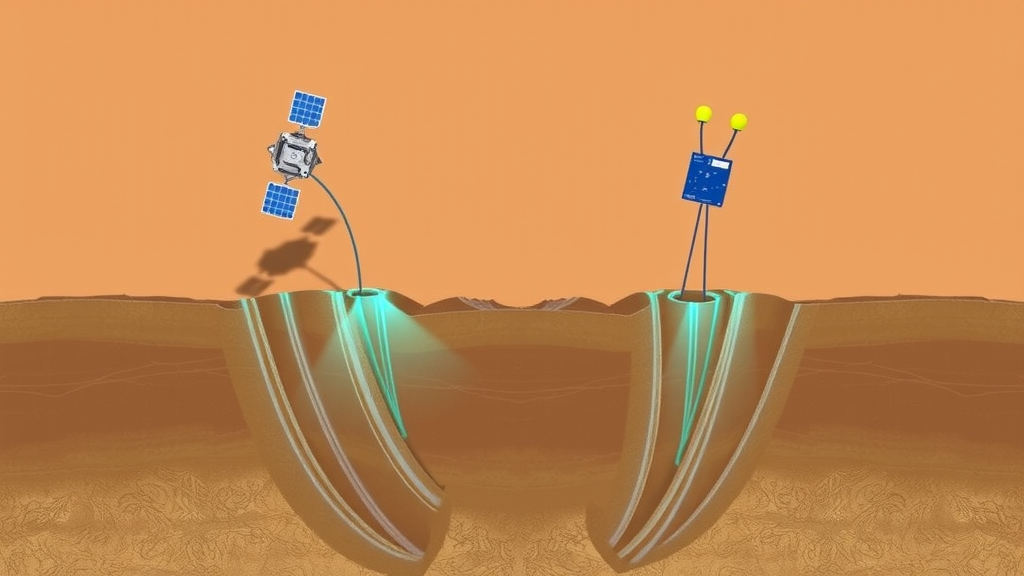
Every year, cities across the world sink a little further into the ground. From Mexico City to Jakarta, from the Central Valley of California to the North China Plain, the relentless pumping of groundwater is quietly deflating the aquifers beneath some of the planet’s most densely populated regions. Now, a research team working in the Yangtze River Delta of eastern China has demonstrated a new way of catching this invisible hazard in the act, by fusing satellite radar measurements, hydrological data, and fiber optic sensors buried deep inside a borehole. The result, published in Environmental Earth Sciences, is a framework that links what happens at the land surface to the specific underground layers actually doing the sinking, offering a template that could be applied to subsiding cities worldwide.
The challenge that motivated the study is deceptively simple to state but remarkably hard to solve. Groundwater-induced land subsidence is one of the most widespread geohazards associated with excessive groundwater exploitation, and it produces broad, uneven patterns of sinking that carry serious economic and social consequences. Traditional monitoring tools such as leveling benchmarks and GPS receivers provide accurate measurements, but only at discrete points scattered across the landscape. That sparse coverage makes it nearly impossible to characterize the full regional footprint of subsidence, let alone to work out which buried layers are compressing and driving the deformation. Remote sensing techniques such as Interferometric Synthetic Aperture Radar, or InSAR, can map surface deformation over huge areas in all weather, but by themselves they reveal little about what is happening hundreds of meters underground, where the real mechanical action unfolds within layered aquifer and aquitard systems.
The new framework, developed by Hongwei Sang, Ke Fang, Qimeng Liu, Liang Yuan, and Bin Shi, closes that gap in three sequential steps. First, the researchers applied Persistent Scatterer InSAR, known as PS-InSAR, to derive detailed regional maps of surface deformation. Second, they quantified the temporal relationship between the satellite-derived deformation and regional terrestrial water storage, or TWS, using Pearson correlation analysis, allowing them to flag areas where sinking was strongly tied to hydrological variation. Third, they turned to distributed fiber optic sensing, DFOS, installed in a borehole, to identify the specific compressible strata responsible for the deformation at depth. Each step covers a different scale, and together they build a continuous chain of evidence from regional surface patterns all the way down to individual geological layers.
For the satellite component, the team processed 171 images acquired by the Sentinel-1A satellite between January 2017 and December 2022. The C-band radar instrument revisits the area every twelve days, and the researchers used the SNAP, ISCE, and StaMPS processing chain to extract line-of-sight deformation velocities at roughly half a million monitoring points across the study area. Careful corrections were applied throughout, including precise orbit correction, removal of the topographic phase using the 30-meter Shuttle Radar Topography Mission digital elevation model, three-dimensional phase unwrapping, and atmospheric correction based on the Generic Atmospheric Correction Online Service, GACOS, which uses high-resolution weather-model products to strip out delays introduced by the atmosphere. Because the study area sits on an exceptionally flat alluvial plain at an average elevation of less than six meters, the line-of-sight measurements serve as a reasonable first-order proxy for vertical settlement.
The satellite data painted a telling picture. Line-of-sight velocities ranged from minus 22 millimeters per year, indicating movement away from the sensor, to plus 10 millimeters per year. The most pronounced deformation anomalies appeared in the central sector of the study area, coinciding with zones of land subsidence documented in earlier investigations. But surface maps alone cannot answer the crucial question of cause. To address that, the researchers turned to terrestrial water storage data from the GLDAS V2.2 CLSM product, obtained through the Google Earth Engine platform at a spatial resolution of about 25 kilometers and a daily temporal resolution. TWS aggregates groundwater, soil moisture, surface water, snow and ice, canopy interception, and wet biomass, and thus serves as a regional-scale indicator of overall water storage conditions, including groundwater variability.
The correlation analysis revealed a striking story of changing hydro-mechanical behavior. During 2017, areas with Pearson correlation coefficients between 0.4 and 1.0, the threshold the team adopted to flag moderate to strong correspondence, clustered in the central part of the study area, precisely where deformation rates were highest. Two representative InSAR points, P1 and P2, showed correlation coefficients of 0.958 and 0.811 respectively in 2017, indicating an almost synchronized dance between falling water storage and accumulating subsidence during a period when groundwater exploitation still dominated the system. Similar positive correlations persisted in 2018 and 2019, though generally weaker.
Then, after 2020, something changed. The spatial distribution of correlation coefficients shifted toward lower and even negative values, and the percentage of InSAR pixels exceeding the 0.4 threshold fluctuated downward, from 16.9 percent in 2017 to 4.3, 9.1, and 7.1 percent in 2020 through 2022. Regional terrestrial water storage began to rise, reflecting the gradual recovery of water storage following the enforcement of groundwater extraction restrictions, yet surface deformation continued to accumulate regardless. The explanation lies in the physics of consolidation. According to Terzaghi’s consolidation theory, when groundwater recovers, pore-water pressure increases within the permeable confined aquifer, but the surrounding low-permeability aquitards dissipate their excess pore pressure far more slowly. Residual consolidation of these compressible strata therefore continues long after the hydrological turnaround, producing a time lag between hydrological recovery and surface deformation. The subsurface, in effect, keeps replaying the memory of past over-extraction.
To pin down exactly where that lingering deformation resides, the team exploited the borehole fiber optic monitoring system at borehole SZ1, established in 2013 in Shengze Town, a silk-textile hub in southeastern Suzhou whose township industries once drove severe aquifer over-extraction. The system uses a Brillouin Optical Time Domain Reflectometer, BOTDR, which measures the Brillouin frequency shift generated by the interaction between incident light and acoustic phonons within the optical fiber, converting that shift into axial strain. Configured with a 20-kilometer measurement range, one-meter spatial resolution, and a strain accuracy of plus or minus 50 microstrain, the fiber laid continuously along the borehole records strain profiles across the full vertical extent of the layered aquifer system, something no array of point sensors could achieve.
The fiber optic observations delivered a clear verdict on depth. Negative strain, representing compressive deformation, concentrated within the Af2 confined aquifer and the adjacent Ad2 and Ad3 aquitards. Intriguingly, although groundwater extraction occurs primarily within the Af2 aquifer itself, the largest cumulative deformation occurred in the neighboring aquitards. This counterintuitive pattern is exactly what classical hydro-mechanics predicts. Groundwater withdrawal first reduces pore-water pressure in the high-conductivity aquifer, transmitting pressure changes rapidly and producing only limited elastic deformation. The low-permeability aquitards, by contrast, drain slowly, sustain delayed consolidation, and accumulate disproportionately large inelastic compression. The Ad2 and Ad3 layers therefore contribute far more to the observed subsidence than the aquifer that is actually being pumped, a conclusion that matches Terzaghi’s theory and previous investigations of multilayer aquifer systems.
The broader significance of the study extends well beyond one town in the Yangtze River Delta. Suzhou itself has a long history with subsidence; by the end of 2005, deep groundwater extraction had been completely prohibited in the Suzhou-Wuxi-Changzhou region, and subsidence rates slowed as water levels rose, yet localized zones of concentrated sinking persist. The authors acknowledge limitations, including the absence of descending-orbit radar acquisitions, the fact that TWS is not a direct substitute for groundwater-level measurements, and the reliance on a single representative borehole. Even so, the framework is designed to be general rather than site-specific. Similar combinations of regional surface deformation and subsurface compaction afflict the North China Plain, California’s Central Valley, Jakarta, Mexico City, and the Konya basin in Türkiye, and the researchers argue that pairing regional InSAR with representative borehole fiber optic monitoring offers a practical, scalable strategy for identifying groundwater-induced subsidence and understanding its stratigraphic mechanisms. For water managers confronting the slow-motion disaster of sinking cities, the message is clear: the ground remembers what we pump, and now we can read that memory from orbit and from deep within the earth itself.
Subject of Research: Identification of groundwater-induced land subsidence through integration of satellite InSAR, terrestrial water storage, and borehole distributed fiber optic sensing
Article Title: Regional identification of groundwater-induced land subsidence using integrated surface and subsurface observations
Article References: Sang, H., Fang, K., Liu, Q., Yuan, L., & Shi, B. (2026). Regional identification of groundwater-induced land subsidence using integrated surface and subsurface observations. Environmental Earth Sciences, 85(15), Article 390. https://doi.org/10.1007/s12665-026-13113-x
Image Credits: AI Generated
DOI: 10.1007/s12665-026-13113-x
Keywords: land subsidence, groundwater extraction, InSAR, PS-InSAR, terrestrial water storage, distributed fiber optic sensing, aquitard consolidation, Sentinel-1, BOTDR, Yangtze River Delta, Suzhou, geohazard monitoring
Cite Scienmag News
Violet Maxwell. (September 23, 2026). Satellites and Fiber Optic Sensors Join Forces to Track Sinking Ground Caused by Groundwater Overuse. Scienmag. https://scienmag.com/satellites-and-fiber-optic-sensors-join-forces-to-track-sinking-ground-caused-by-groundwater-overuse/
Violet Maxwell. "Satellites and Fiber Optic Sensors Join Forces to Track Sinking Ground Caused by Groundwater Overuse." Scienmag, 23 September 2026, https://scienmag.com/satellites-and-fiber-optic-sensors-join-forces-to-track-sinking-ground-caused-by-groundwater-overuse/. Accessed 23 September 2026.
Violet Maxwell. "Satellites and Fiber Optic Sensors Join Forces to Track Sinking Ground Caused by Groundwater Overuse." Scienmag. September 23, 2026. https://scienmag.com/satellites-and-fiber-optic-sensors-join-forces-to-track-sinking-ground-caused-by-groundwater-overuse/


