


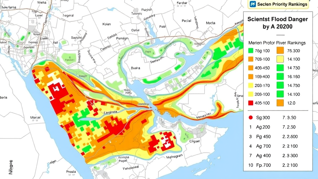
Urban flooding has quietly become one of the most consequential hazards facing fast-growing cities, and a new study from Iran offers a detailed blueprint for identifying exactly which urban assets sit in harm’s way. In research published in Water Resources Management, a team led by Alireza Naseri of Amirkabir University of Technology, together with colleagues from Khajeh Nasir Toosi University, Sharif University of Technology, Azad University and the University of Tehran, combined hydraulic river simulation with a structured expert-based vulnerability assessment to map flood-prone zones in Hamedan City and pinpoint the critical urban centers most exposed to them. The work arrives at a moment when expanding urbanization, shifting climate patterns and aging drainage infrastructure are converging to make flood events more frequent, more damaging and harder to predict.
The core insight of the study is that flood resilience cannot be assessed by hydrology alone. A city’s vulnerability to flooding depends not only on where water will go during an extreme event, but also on which facilities matter most when disaster strikes. Hospitals, emergency service centers, utilities and administrative hubs form the backbone of a city’s response capacity, and when these facilities are disrupted, the consequences ripple far beyond the flooded footprint. Operational efficiency drops, public dissatisfaction rises, and the continuity of essential services is impaired precisely when citizens depend on them most. The researchers therefore framed their investigation around a two-part question: where will the water go, and what will it hit that the city cannot afford to lose?
To answer the first half of that question, the team turned to HEC-RAS, the Hydrologic Engineering Center’s River Analysis System, a widely used one-dimensional hydraulic modeling platform developed by the US Army Corps of Engineers. The researchers investigated the hydrological conditions of Hamedan City and its surrounding areas, then simulated river behavior under multiple flood scenarios defined by different return periods. Return periods, expressed in years, describe the average interval between flood events of a given magnitude; a 100-year flood, for example, has roughly a one percent chance of occurring in any single year. By running the model across this spectrum of scenarios, the team captured how inundation extents and water depths change as floods grow rarer and more severe.
The hydraulic output from HEC-RAS was then integrated with a Geographic Information System, or GIS, to delineate flood-prone areas across the city. This integration is where the technical power of the approach emerges. Hydraulic models produce spatially distributed estimates of water surface elevations along river reaches, and when those elevations are draped over high-resolution terrain data within a GIS environment, they generate precise floodplain boundaries. Planners can overlay any layer of urban information, from land parcels to road networks to building footprints, onto these boundaries to see exactly what lies within the inundation zone. The resulting maps translate abstract hydraulic computations into actionable spatial intelligence for zoning and emergency planning.
In parallel, the team built a vulnerability classification system for urban assets. They established a set of criteria and sub-criteria designed to capture the multiple dimensions along which urban facilities can be evaluated, ranging from operational characteristics to economic significance. To determine the relative importance of these factors, the researchers designed a structured questionnaire and distributed it to selected experts, whose judgments were then aggregated. The arithmetic mean of the expert responses fed into the Analytic Hierarchy Process, a well-established multi-criteria decision-making method, implemented in the Expert Choice software. AHP works by decomposing a complex decision into a hierarchy of criteria and alternatives, deriving weights through pairwise comparisons, and producing a ranked prioritization that is transparent and reproducible.
The AHP results revealed a clear hierarchy of concerns. The quantitative level of operation, a measure of how intensively and measurably a facility functions, received the greatest weight among all evaluated indicators, signaling that experts view operational capacity as the dominant factor in urban vulnerability. At the other end of the scale, economic value was assigned the lowest weight, suggesting that the sheer monetary worth of a facility matters less to resilience than its functional role during a crisis. This finding carries practical weight for municipal decision-makers: protecting a modest but operationally critical service center may deliver more resilience per unit of investment than safeguarding a high-value property with limited emergency significance.
With critical urban centers identified and prioritized through the AHP framework, and flood-prone zones delineated through the HEC-RAS and GIS pipeline, the final analytical step was a spatial overlay. By intersecting the layer of prioritized urban facilities with the mapped flood extents in the GIS environment, the researchers identified and enumerated the vulnerable centers, those critical assets that fall within areas likely to be inundated under the modeled scenarios. This intersection transforms two separate analyses into a single, decision-ready product: a ranked list of the facilities whose flooding would inflict the greatest damage on the city’s capacity to function and respond.
The framework’s architecture is deliberately transferable. The authors note that the approach can potentially be applied to other urban areas, provided that appropriate local data are available and that the hydraulic component undergoes site-specific calibration and validation. That caveat is important. Hydraulic models are only as reliable as the terrain data, flow measurements and roughness coefficients that feed them, and a model calibrated for Hamedan’s river channels and topography cannot simply be transplanted elsewhere without adjustment. The vulnerability weighting, too, depends on expert panels whose composition and judgments will vary between cities, meaning that the specific rankings are context-dependent even if the methodology is universal.
The study is also candid about its boundaries. The assessment rests on current hydrological conditions and conventional flood return periods; explicit future climate projections are not incorporated into the modeling. This is a meaningful limitation in an era when climate change is altering precipitation patterns and intensifying extreme rainfall events in many regions, including arid and semi-arid landscapes like western Iran. The authors recommend that future studies integrate climate projections and scenario-based precipitation changes to evaluate how urban flood risk evolves under future climate conditions. Such an extension would allow planners to stress-test their resilience strategies against the wetter extremes that a changing climate may deliver, rather than against the historical record alone.
For Hamedan, the practical implications are immediate. The identification of vulnerable critical centers gives municipal authorities a concrete starting point for protective investment, whether through physical flood defenses, facility hardening, relocation of the most exposed assets, or revised zoning that restricts new critical infrastructure from flood-prone land. For the broader field of urban flood management, the study demonstrates how hydraulic simulation, geospatial analysis and structured expert judgment can be woven into a single coherent workflow. As cities worldwide grapple with the compounding pressures of growth and climate volatility, frameworks of this kind, which ask not just where the water will flow but what the city can least afford to lose, are likely to become an increasingly standard part of the flood resilience toolkit.
Subject of Research: GIS-integrated HEC-RAS flood simulation and AHP-based vulnerability assessment of critical urban centers in Hamedan City
Article Title: Enhancing Flood Resilience: a GIS-Integrated Approach to River Flow Modelling and Urban Zoning using HEC-RAS Simulation
Article References: Naseri, A., Estelaji, F., Yari, M. H., Asl, B. R., Zahedi, R., & Abedi, B. (2026). Enhancing Flood Resilience: a GIS-Integrated Approach to River Flow Modelling and Urban Zoning using HEC-RAS Simulation. Water Resources Management, 40(12), Article 528. https://doi.org/10.1007/s11269-026-04893-9
Image Credits: AI Generated
DOI: 10.1007/s11269-026-04893-9
Keywords: flood resilience, HEC-RAS, GIS, AHP, urban zoning, Hamedan, hydraulic modeling, flood vulnerability, river flow simulation, urban planning, Water Resources Management, multi-criteria decision making
Cite Scienmag News
Violet Maxwell. (September 22, 2026). Scientists Map Flood Danger in Hamedan by Merging River Simulations with Urban Priority Rankings. Scienmag. https://scienmag.com/scientists-map-flood-danger-in-hamedan-by-merging-river-simulations-with-urban-priority-rankings/
Violet Maxwell. "Scientists Map Flood Danger in Hamedan by Merging River Simulations with Urban Priority Rankings." Scienmag, 22 September 2026, https://scienmag.com/scientists-map-flood-danger-in-hamedan-by-merging-river-simulations-with-urban-priority-rankings/. Accessed 22 September 2026.
Violet Maxwell. "Scientists Map Flood Danger in Hamedan by Merging River Simulations with Urban Priority Rankings." Scienmag. September 22, 2026. https://scienmag.com/scientists-map-flood-danger-in-hamedan-by-merging-river-simulations-with-urban-priority-rankings/


