


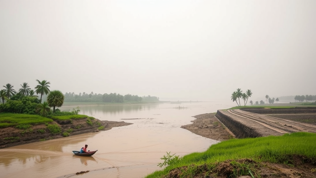
On the shifting sandbars of the Padma River in Bangladesh, the ground beneath people’s feet is quite literally disappearing. A new study of Char Janajat, a riverine island community in Madaripur district, documents in unusually fine detail how seasonal floods and relentless riverbank erosion dismantle rural livelihoods, and what happens when a community is left to cope largely on its own. The research, led by geographers at the University of Dhaka and published in Regional Environmental Change, combines a randomized household survey of 100 households, designed to operate within a 7 percent precision margin, with qualitative evidence from four Focus Group Discussions, producing one of the most granular empirical portraits yet of life on the Padma’s volatile char lands.
The hydro-geomorphological setting explains much of the vulnerability. Chars are transient landforms, built from sediment deposited by one of the world’s most morphologically dynamic rivers, and they are periodically consumed by the same processes that create them. Riverbank erosion along the Padma proceeds through basal undercutting, slump failure and channel migration, so homesteads, farmland and infrastructure can vanish within a single monsoon season. Overlaying this chronic land loss is acute hydro-meteorological hazard: monsoon flooding that inundates fields, saturates soils, contaminates water sources and severs the thin threads of road connectivity that tie island communities to mainland markets. The study frames these as coupled hydro-geomorphic and socio-economic systems, in which a physical perturbation in one sector cascades into financial, health and educational losses downstream.
The economic findings are stark. Agriculture sustains 36 percent of local livelihoods on Char Janajat, yet the survey records catastrophic crop failures driven by flood submergence and the stripping of fertile topsoil by floodwater and erosion. Because topsoil loss is cumulative rather than episodic, households do not simply recover between flood years; their productive base erodes alongside the riverbank. This induces what the authors describe as long-term financial fragility, with landless and marginal households falling into debt, distress migration and asset liquidation. The multi-sectoral accounting matters: the researchers deliberately trace how a single hazard event propagates through crops, transport, health, housing and schooling simultaneously, rather than treating flood damage as a one-sector loss.
Transport infrastructure emerges as a seasonally critical failure point. Roads on the char suffer acute paralysis during flood peaks, cutting residents off from markets, health facilities and emergency services precisely when those links are most needed. The survey found that 35 percent of residents demand elevated road-cum-embankment structures as their priority intervention, a technocratic preference rooted in lived experience: raised roads that double as flood embankments maintain physical connectivity while providing refuge and erosion protection. This dual-function infrastructure concept, combining transport service with hydraulic defense, is increasingly central to deltaic adaptation engineering, and the Char Janajat data suggest strong local demand for it.
The public health dimension of the study is its most statistically rigorous component. Using a Pearson’s chi-square test of independence, the researchers modeled the relationship between sanitation conditions during disasters and post-disaster illness, and found a highly significant association between the two. With a 90 percent deficit in hygienic sanitation during disasters, the test yielded chi-squared of 14.92 on one degree of freedom, corresponding to p less than 0.001. In practical terms, floodwater mixing with latrine waste, and the destruction or submergence of sanitation infrastructure, translate directly into a measurable disease burden. The predominant illnesses reported were diarrhoea, affecting 34 percent of those who fell ill, followed by cold and fever at 26 percent and scabies at 19 percent, a profile typical of flood-borne water contamination and crowding in shelters.
What compounds this epidemiological crisis is an institutional void. The study documents a 95 percent deficit in formal disaster-preparedness training among residents, meaning almost no one on the char has received structured instruction in evacuation, hygiene management, water treatment or first aid during floods. In the absence of formal systems, households fall back on autonomous, improvised coping strategies. One striking example: 20 percent of households rely on local educated youth to manually excavate temporary drainage channels during waterlogging, an ad hoc, labor-intensive solution that moves floodwater off homesteads and fields but offers no protection against renewed inundation or bank collapse. The authors emphasize that these autonomous adjustments provide brief survival value but are routinely overwhelmed by macro-river dynamics beyond any community’s control.
The research also captures a surprising geographic nuance with implications well beyond Madaripur. The authors highlight what they call a paradigm shift in the area’s geomorphology: engineered embankments constructed around the Padma Bridge mega-project appear to exert a positive stabilizing influence on the peripheral char landscape, damping local erosion rates in the near field of the structures. This finding speaks to a long-running debate in river engineering and fluvial geomorphology, namely whether large hard infrastructure simply displaces erosion elsewhere or can genuinely anchor sediment in targeted zones. The Char Janajat evidence suggests that well-placed engineered works can stabilize chars, though the authors caution that such benefits are localized and cannot substitute for community-scale adaptation.
When residents were asked what should come next, their priorities were unambiguous. High-capacity flood shelters topped the list, demanded by 30 percent of respondents, followed by elevated road networks at 20 percent. These preferences reflect a clear-eyed assessment that autonomous coping is exhausted and that permanent institutional interventions are the only viable path. The study argues that residents’ demands align with an integrated approach to disaster management, combining river training works, raised and hardened infrastructure, protected water and sanitation systems, and pre-positioned shelter capacity. In deltaic Bangladesh, where roughly 130 million people live in the combined floodplains of the Ganges, Brahmaputra and Meghna systems, such integrated frameworks are moving from academic aspiration to policy necessity.
Methodologically, the study offers a template for vulnerability assessment in data-scarce, hazard-exposed settings. The randomized survey design with a quantified precision margin, triangulated with focus group evidence, allows the researchers to distinguish community-wide patterns from outlier experiences, while the chi-square analysis converts anecdote into statistical association. The authors note that raw survey data cannot be publicly archived: the Disaster Research Training and Management Center Ethics Committee at the University of Dhaka judged that even anonymized data could pose an identification risk to this displaced and highly vulnerable population, an ethical constraint worth noting as open-data mandates spread through the hazard-research community. The researchers conclude that their findings provide a critical empirical baseline for policymakers designing proactive, climate-resilient deltaic disaster management frameworks, and for targeting river training and protective investment toward the char communities where erosion and flooding currently outpace every form of local adaptation.
Subject of Research: Impacts of flood and riverbank erosion on livelihoods and health in a Padma River char community in Bangladesh
Article Title: Impact of flood and riverbank erosion on local livelihoods: a study on Char Janajat at Madaripur district
Article References: Islam, M. S., Akter, F., & Hossain, M. T. (2026). Impact of flood and riverbank erosion on local livelihoods: a study on Char Janajat at Madaripur district. Regional Environmental Change, 26(4), Article 186. https://doi.org/10.1007/s10113-026-02674-z
Image Credits: AI Generated
DOI: 10.1007/s10113-026-02674-z
Keywords: flood, riverbank erosion, livelihood vulnerability, Char Janajat, displacement, Padma River, Bangladesh, public health, sanitation, disaster adaptation, flood shelters, deltaic management
Cite Scienmag News
Violet Maxwell. (September 12, 2026). Floods and Eroding Riverbanks Are Breaking Livelihoods on Bangladesh’s Padma Char Lands. Scienmag. https://scienmag.com/floods-and-eroding-riverbanks-are-breaking-livelihoods-on-bangladeshs-padma-char-lands/
Violet Maxwell. "Floods and Eroding Riverbanks Are Breaking Livelihoods on Bangladesh’s Padma Char Lands." Scienmag, 12 September 2026, https://scienmag.com/floods-and-eroding-riverbanks-are-breaking-livelihoods-on-bangladeshs-padma-char-lands/. Accessed 12 September 2026.
Violet Maxwell. "Floods and Eroding Riverbanks Are Breaking Livelihoods on Bangladesh’s Padma Char Lands." Scienmag. September 12, 2026. https://scienmag.com/floods-and-eroding-riverbanks-are-breaking-livelihoods-on-bangladeshs-padma-char-lands/


