


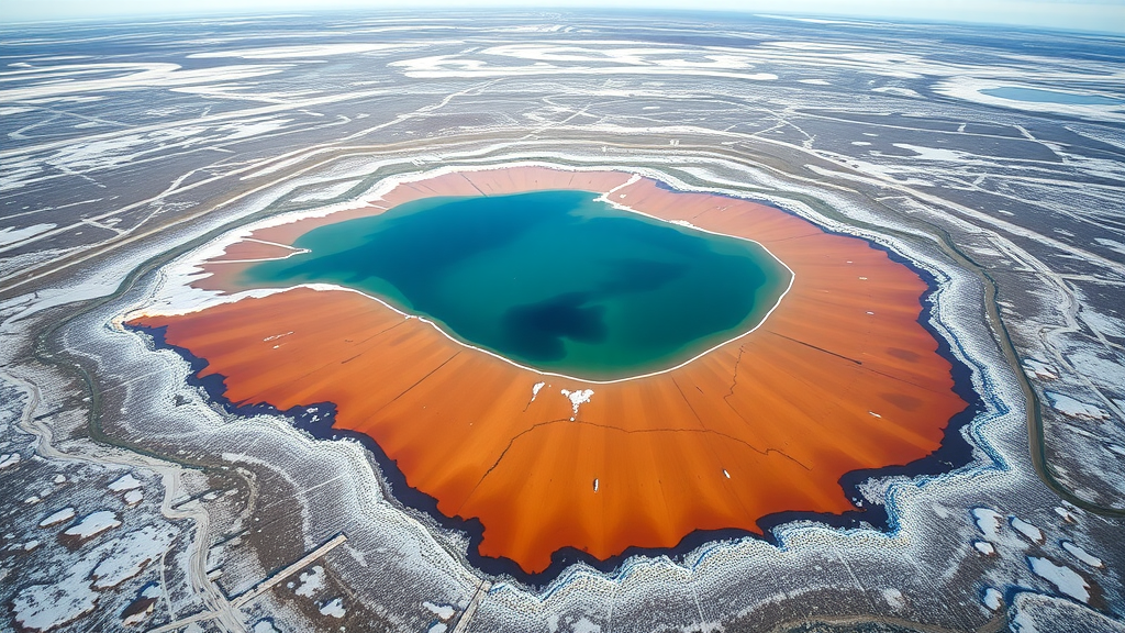
Across the vast, flat expanses of the Arctic and sub-Arctic, millions of shallow lakes dot a landscape underlain by frozen ground. Many of them are now vanishing, sometimes within a matter of hours, and researchers have unveiled a new digital tool designed to watch it happen in near real time. The ‘Lost Lakes’ database, developed by scientists at the Alfred Wegener Institute, Helmholtz Centre for Polar and Marine Research (AWI) with technical support from North American partners, provides continuous information on the water area of roughly four million Arctic lakes. By identifying changes in permafrost landscapes as soon as they occur, the platform is intended to help local communities respond to these shifts at an early stage, whether that means securing alternative drinking water sources or adjusting how they use the land around them.
Thermokarst lakes are among the most dynamic features of the permafrost region. They form when ice-rich permafrost thaws and the ground subsides, creating depressions in which meltwater collects. Over years, decades and even millennia, these depressions grow into lakes. Paradoxically, the lakes then accelerate the very process that creates them: because liquid water conducts heat more effectively than frozen soil, a thermokarst lake drives further thawing beneath and around its basin. As the once-frozen organic carbon locked in the permafrost becomes accessible, microbes convert it into greenhouse gases such as carbon dioxide and methane, which can escape into the atmosphere. This feedback loop makes thermokarst lakes a key concern for scientists studying how Arctic carbon stores will respond to a warming climate, and it explains why the region’s lakes are not merely scenery but active players in the global climate system.
Dr Ingmar Nitze, a permafrost researcher at AWI in Potsdam, emphasises how much is at stake for the people who live in this landscape. ‘They are of great importance for local communities, as they are often the only source of drinking water,’ he says. The situation is complicated by the nature of the frozen ground itself: permafrost that in places extends several hundred metres below the surface acts as an impermeable barrier, preventing groundwater from being readily available. At the same time, surface waters can be heavily contaminated by pollutants, bacteria and industrial waste, meaning that communities frequently depend on a limited number of freshwater lakes. When one of those lakes suddenly drains away, the consequences for the local water supply can be immediate and severe.
The Lost Lakes platform addresses this problem by combining map views, time-series charts and satellite forecasts to display water levels across the Arctic in near real time. Users can examine spatial patterns, long-term trends and current satellite imagery for lakes in their own region or anywhere else in the permafrost zone. ‘Local people, who spend a lot of time in this landscape, are usually the first to notice its constant ongoing change,’ Nitze explains. ‘With Lost Lakes, they now also have access to real-time scientific data that support these personal observations, help them monitor the wider environment and may also enable them to plan necessary courses of action more effectively.’ The interactive dashboard is deliberately designed to be usable not just by researchers but by residents, hunters, herders and local authorities who need practical, up-to-date information about the waters they rely on.
The data assembled so far reveal a striking picture of recent change. Since 2016, just under 10,000 Arctic lakes have lost a sizeable proportion of their area or have disappeared entirely. The losses are not evenly distributed through the year. Most lakes drain suddenly shortly after snowmelt and up to the height of summer, between June and early August. Warm temperatures and snowy winters destabilise the permafrost, and the excess meltwater can carve lateral breaches along lake shores through which the entire water body escapes. A lake that may have existed for centuries can thus empty in a single event. The platform’s records show that an exceptionally large number of lakes disappeared in the summers of 2018, 2020 and 2022, years that followed extremely warm and snowy winters which preconditioned the ground for deeper summer thawing and subsequent lateral drainage.
Significant regional differences also emerge from the data, reflecting the strong dependence of lake dynamics on climate, subsoil and the condition of the permafrost itself. Western Alaska’s Seward Peninsula stands out as one of the most severely affected areas, where many of the largest lakes have vanished over roughly the past two decades. In the winter of 2017/2018 alone, 192 lakes on the peninsula drained completely or partially, almost twice as many as in the previous record years of 2005 and 2006. ‘North-western Alaska is heavily impacted by changing climate patterns, with new record highs for temperatures and precipitation recorded in recent years,’ Nitze notes. ‘This year, too, we have already observed a few notable lakes that are in the process of disappearing.’ The pattern suggests that as air temperatures and snowfall continue to climb, drainage events may become more frequent across ever larger parts of the Arctic.
Distinguishing a genuine, permanent lake drainage from a temporary dip in water level is one of the central technical challenges the AWI team had to solve. A lake can appear smaller in a satellite image for many benign reasons, including seasonal evaporation, ice cover or unusual viewing conditions. To make reliable statements from orbit, the researchers developed a numerical index calculated from satellite data that allows them to classify their observations. It is considered highly likely that a lake is losing water if it appears significantly smaller than expected in the imagery, or if its extent falls below the absolute minimum recorded since 2017. Beyond simple water surface area, the team analyses multispectral satellite images in ways that reveal surface water, snow and ice cover, exposed ground and vegetation, providing a much richer picture of what is happening around each lake.
‘With Lost Lakes, we can automatically and in near real time determine, for every lake in the Arctic permafrost region, whether sudden or gradual, persistent water losses are merely temporary anomalies or whether they are actually ushering in the permanent disappearance of a lake,’ Nitze explains. This capability turns what was once a laborious, region-by-region mapping exercise into a continuous, pan-Arctic monitoring system. For climate scientists, the resulting records offer a window into how rapidly permafrost landscapes are reorganising in response to warming. For communities on the ground, the same records function as an early warning system, flagging lakes at risk before the water is gone.
Lost Lakes did not appear in isolation. It forms part of the Permafrost Discovery Gateway, a freely accessible online platform that provides information on permafrost conditions across the Arctic, offering large spatial datasets and tools that local communities, researchers and the general public can use conveniently. Since 2023, an international group of experts including the AWI has been developing an artificial intelligence system for the gateway intended to make investigating Arctic permafrost thaw even faster and more effective. That effort, funded by Google.org to the tune of five million US dollars, embeds Lost Lakes within a broader infrastructure for Arctic observation and analysis.
Looking ahead, the AWI is also leading the Rapid Permafrost Thaw Carbon Trajectories project, known as PeTCaT, which continues and extends the analyses begun with Lost Lakes. PeTCaT aims to fill gaps in scientific understanding of rapid thaw processes and to build a novel dataset as a foundation for projections, highlighting potential future developments and the impact of greenhouse gases released from thawing permafrost. To achieve this, AWI is collaborating with researchers from Germany, the United States, Canada, the Netherlands and Sweden, with the project supported by a ten million US dollar fund from the non-profit organisation Schmidt Sciences. Together, these initiatives signal a shift in Arctic science: from periodic snapshots of a slowly changing landscape to a continuous, community-accessible watch over one of the planet’s most rapidly transforming environments, where lakes that sustained generations can vanish between one summer and the next.
Subject of Research: A satellite-based monitoring platform for detecting drainage and area changes of thermokarst lakes in Arctic permafrost regions
Article Title: Disappearing lakes: new data platform on permafrost lakes in the Arctic
Article References: Disappearing lakes: new data platform on permafrost lakes in the Arctic. (n.d.). Original publication
Image Credits: AI Generated
DOI: Not provided
Keywords: permafrost, thermokarst lakes, Arctic, lake drainage, satellite monitoring, Alfred Wegener Institute, climate change, drinking water, Permafrost Discovery Gateway, PeTCaT, greenhouse gases, Alaska
Cite Scienmag News
Russell Cooper. (September 12, 2026). New satellite platform tracks millions of disappearing Arctic permafrost lakes. Scienmag. https://scienmag.com/new-satellite-platform-tracks-millions-of-disappearing-arctic-permafrost-lakes/
Russell Cooper. "New satellite platform tracks millions of disappearing Arctic permafrost lakes." Scienmag, 12 September 2026, https://scienmag.com/new-satellite-platform-tracks-millions-of-disappearing-arctic-permafrost-lakes/. Accessed 12 September 2026.
Russell Cooper. "New satellite platform tracks millions of disappearing Arctic permafrost lakes." Scienmag. September 12, 2026. https://scienmag.com/new-satellite-platform-tracks-millions-of-disappearing-arctic-permafrost-lakes/


