


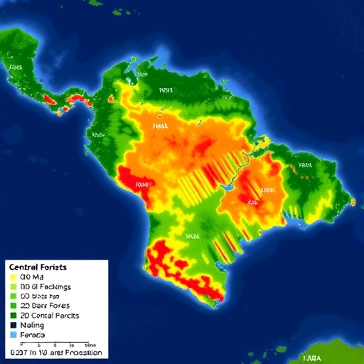
A new study has mapped where deforestation is pushing into Central America’s tropical moist forests—and what that expansion looks like on the ground. Published in Communications Earth & Environment in 2026, the work by Chicas, Nobuya, Bao and colleagues uses spatial analysis to trace the “frontiers” of forest loss across multiple landscapes, turning scattered evidence into a coherent picture of encroachment patterns.
Rather than treating deforestation as a single, uniform process, the researchers characterize how clearing advances over time and where it concentrates. Their approach focuses on identifying transition zones—areas at the edge of remaining forest—where disturbance risk rises rapidly and tree cover becomes more vulnerable to conversion.
To build these maps, the team draws on remotely sensed land-cover signals and integrates them with methods that highlight spatial clustering and directional spread. The goal is to pinpoint not only where deforestation occurs, but also how the location of ongoing change relates to earlier loss, infrastructure proximity, and recurring disturbance pressures.
The results reveal that deforestation frontiers are not random. They form recognizable spatial structures, with certain corridors and buffer regions showing elevated rates of change. In practice, this means that once forest cover is fragmented, new clearing can propagate through a landscape more easily than when intact forest blocks remain continuous.
The study also emphasizes temporal dynamics: deforestation is frequently staged, with initial small clearings that later expand. By separating early-stage disturbance from later conversion, the researchers can better infer where monitoring and enforcement would likely have the greatest leverage.
For conservation and policy makers, the mapping offers an actionable target list. Frontiers identified by the study can be treated as “watch zones” for rapid response—prioritizing surveillance, land-use planning, and restoration that aim to prevent transitions from low-level disturbance to full canopy loss.
The broader message is urgent: tropical moist forests in Central America are being reshaped by advancing edges, not only by isolated events. Viral science takeaway: when you can see the frontier in high resolution, you can anticipate the next wave—before the trees disappear.
By translating complex land-cover change into a frontier-centric framework, the researchers provide a roadmap for future monitoring efforts. Their methodology could be adapted to other regions where forest loss is driven by the spread of disturbance through fragmented habitats.
If deforestation is a process with momentum, then mapping that momentum matters. This study shows that frontier detection can help shift efforts from reacting to loss toward disrupting the mechanisms that drive it forward.
Cite Scienmag News
Violet Maxwell. (July 28, 2026). Mapping Deforestation Frontiers Across Central America’s Tropical Moist Forests. Scienmag. https://scienmag.com/mapping-deforestation-frontiers-across-central-americas-tropical-moist-forests/
Violet Maxwell. "Mapping Deforestation Frontiers Across Central America’s Tropical Moist Forests." Scienmag, 28 July 2026, https://scienmag.com/mapping-deforestation-frontiers-across-central-americas-tropical-moist-forests/. Accessed 4 September 2026.
Violet Maxwell. "Mapping Deforestation Frontiers Across Central America’s Tropical Moist Forests." Scienmag. July 28, 2026. https://scienmag.com/mapping-deforestation-frontiers-across-central-americas-tropical-moist-forests/


