


Irvine, Calif., July 27, 2026 — Researchers at the University of California, Irvine have traced why some California wildfires destroy buildings more often than others, turning decades of destruction into a quantifiable, forecastable risk signal. By analyzing 100,000 California Department of Forestry and Fire Protection inspection records from 2013 to 2024, the team built an interpretable framework for predicting which structures are most vulnerable.
Across the 12-year study window, nearly 55,000 buildings were completely destroyed or partially damaged by wildfire. Importantly, 86% of these structures were located in wildland-urban interface (WUI) zones, where vegetation-driven fires intersect with human development.
The work appears in Science Advances. Lead author Somnath Bar, a UC Irvine postdoctoral scholar in civil and environmental engineering, says the key discovery is that building loss patterns are not random: they reflect a reproducible combination of structural characteristics, environmental exposure, and weather dynamics.
The analysis highlights atmospheric dryness as a critical environmental ingredient. Low dew-point temperatures—measurable with standard instrumentation—can indicate heightened aridity, which becomes especially dangerous when paired with strong winds that accelerate flame spread and ember transport.
Topography then acts as a force multiplier. Many high-risk WUI communities sit around mid-elevations near 500 meters (1,640 feet) where slopes and channels can funnel wind, intensifying fire behavior and improving conditions for ignition. Natural landscapes such as grasslands, mesic chaparral, and mixed oak woodland can also serve as pathways that deliver fire pressure toward nearby buildings.
Structural design and materials matter as well. The researchers identify vulnerabilities including wooden fences, flammable siding, and protruding eaves and vents that can capture drifting embers, creating ignition points during high-wind events.
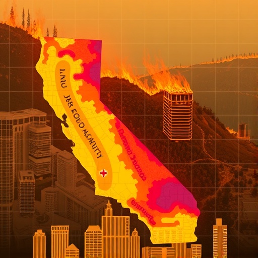
Their approach culminates in the Wildfire Building Damage Risk Index (WBDRI), a California-wide, 100-meter-resolution map that outputs continuous probability of damage. The index integrates satellite-derived environmental layers, gridded fire-weather analyses, and building-level attributes into a machine-learning system.
In three successive model stages—adding flammability ratings, weather variables, and exposure factors—the framework reached up to 88% prediction accuracy. Bar argues the resulting tool enables defensible-space prioritization and risk-aware planning before disaster strikes.
Notably, the results quantify how much homeowners and jurisdictions can influence outcomes. By replacing combustible fencing, upgrading siding, retrofitting eaves, and installing ember-resistant vents, communities can substantially reduce the probability that a structure is lost.
At the state, regional, and household scales, the team urges integrated strategies combining updated building codes, forward-looking land-use planning, and active vegetation management—especially as climate-driven fire weather intensifies.
Keywords
Wildfire risk mapping, wildland-urban interface, ember ignition, atmospheric aridity, fire-weather modeling, machine learning, California wildfire mitigation
Cite Scienmag News
Denise Maddox. (July 27, 2026). UC Irvine Researchers Develop California Wildfire Damage Risk Map. Scienmag. https://scienmag.com/uc-irvine-researchers-develop-california-wildfire-damage-risk-map/
Denise Maddox. "UC Irvine Researchers Develop California Wildfire Damage Risk Map." Scienmag, 27 July 2026, https://scienmag.com/uc-irvine-researchers-develop-california-wildfire-damage-risk-map/. Accessed 4 September 2026.
Denise Maddox. "UC Irvine Researchers Develop California Wildfire Damage Risk Map." Scienmag. July 27, 2026. https://scienmag.com/uc-irvine-researchers-develop-california-wildfire-damage-risk-map/


