


Syria’s civil war has been catastrophic for cultural heritage, and new remote-sensing evidence shows how destruction continued long after the initial surge of looting. Beginning in 2011 and stretching into 2024, the conflict left hundreds of archaeological landscapes in an alarmingly altered state—some reduced to pits, others reshaped by heavy machinery.
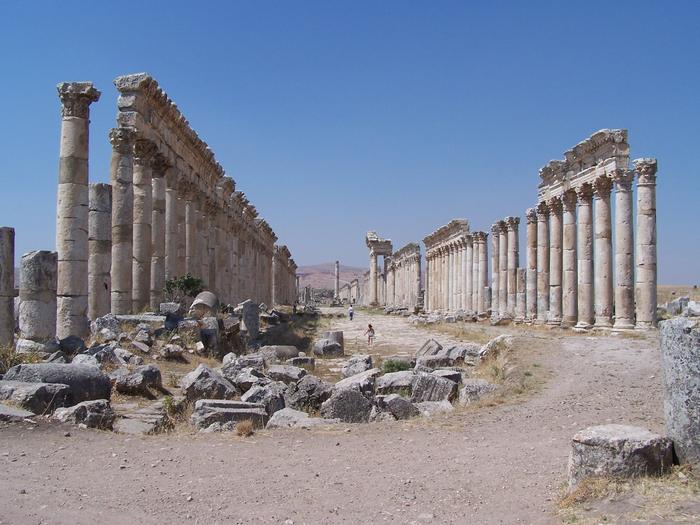
Until recently, a large-scale assessment of damage relied on analysis that ended in 2016, leaving a major blind spot about what happened in the years that followed, including at internationally recognized sites. The gap mattered most for World Heritage locations such as Palmyra and for long-term excavation areas like Mari and Apamea.
A Dartmouth-led study, now published in the journal Heritage, revisits Syria’s post-war “damage timeline” by analyzing 200 archaeological sites using satellite imagery from Google Earth and data from the European Space Agency’s Pleiades program. Rather than treating looting as a single phenomenon, the researchers categorized observed harm into distinct types.
The team tracked traditional looting as isolated excavation pits, while mechanized looting was identified by patterns consistent with bulldozer scraping across exposed surfaces. They also flagged militarization, including features such as dugouts, and they recorded construction or encampments, such as temporary shelters associated with displacement.
The results indicate a sharp escalation after 2015. From 2015 to 2025, 59% of sites show evidence of looting, compared with just 13% during the earlier period of 2011 to 2016. The study emphasizes that mechanized looting often aligns with military activity, suggesting a systematic approach rather than sporadic scavenging.
Lead author Jesse Casana notes that bulldozers can remove the surface layer repeatedly: first to uncover artifacts, then to strip additional material for further search. Because archaeological mounds build up over centuries, this process effectively destroys strata that hold information about multiple eras.
One case study illustrates the broader pattern. At Ain Dara, imagery suggests that a military compound emerged by 2016, and by February 2019 bulldozing markers appeared across multiple zones. By January 2022, nearly the entire surface had been combed, leaving much of the site’s exposed archaeology damaged, aside from a relatively intact stone-built temple complex dating to the first millennium BCE.
Casana argues these findings provide a practical roadmap for mitigation. Before any targeted excavations begin, sites require systematic investigation to locate remaining architecture and artifacts still recoverable from heavily disturbed contexts.
News Publication Date: 23-May-2026
Web References: https://www.mdpi.com/2571-9408/9/6/209 ; http://dx.doi.org/10.3390/heritage9060209
References: 10.3390/heritage9060209
Cite Scienmag News
Courtney Benton. (July 26, 2026). Study Quantifies Damage to Historic Sites Across Syria. Scienmag. https://scienmag.com/study-quantifies-damage-to-historic-sites-across-syria/
Courtney Benton. "Study Quantifies Damage to Historic Sites Across Syria." Scienmag, 26 July 2026, https://scienmag.com/study-quantifies-damage-to-historic-sites-across-syria/. Accessed 4 September 2026.
Courtney Benton. "Study Quantifies Damage to Historic Sites Across Syria." Scienmag. July 26, 2026. https://scienmag.com/study-quantifies-damage-to-historic-sites-across-syria/


