


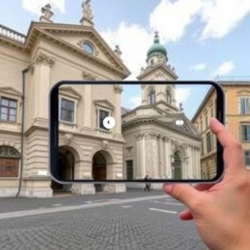
In a pioneering study published in Big Earth Data, researchers have unveiled a transformative augmented reality (AR) framework designed to revolutionize landmark recognition and cultural heritage engagement in urban environments. The new system cleverly integrates location-based augmented reality (LBAR), deep learning (DL), and advanced context-awareness to overcome the limitations of previous technologies, delivering remarkably enhanced accuracy and user experience.
Traditionally, LBAR systems rely heavily on location and inertia sensors, including GPS, to identify landmarks. However, these approaches suffer from persistent issues like GPS inaccuracies, narrow camera fields of view, and sensor malfunctions, restricting their effectiveness in dynamic urban settings. Conversely, deep learning methods, particularly image-based landmark recognition using convolutional neural networks (CNNs), demand significant computational resources and extensive datasets, often causing delays incompatible with real-time applications.
Addressing these challenges, the research team introduced a novel switching framework that dynamically toggles between the LBAR system and a deep learning fallback mechanism. When the LBAR system encounters identification failures, the DL module, powered by a lightweight pre-trained CNN model MobileNetV2, promptly intervenes. This design not only streamlines computational demands but also minimizes latency, ensuring reliable real-time responses on smartphone platforms.
Complementing the dual-system approach, the framework incorporates high-level context-awareness elements such as time of day, user demographics, ongoing events, and spatial distances. These parameters enrich the augmented reality experience by tailoring information to current user contexts, fostering deeper cultural immersion and engagement with city landmarks.
The comprehensive study encompassed dataset creation, web-service development, mobile app deployment, and rigorous field testing across ten iconic landmarks in Tehran. Using images harvested from social media and online sources, the DL model achieved a striking accuracy rate of approximately 91%, with a macro-F1 score near 0.90. Notably, the switching framework resulted in a 34% improvement in detection accuracy over standalone LBAR systems, underscoring its robust performance gains.
User feedback further validated the system’s efficacy, with 90% of participants expressing satisfaction in overcoming LBAR limitations and 68% appreciating the enriched context-aware understanding of landmarks. Such positive reception highlights the framework’s potential to transform cultural heritage interaction within smart city infrastructures.
Beyond technical achievements, the study explored the broader implications of this AR framework for sustainable urban planning. Through GIS-assisted analysis, researchers demonstrated how integrating pervasive landmark recognition can inform and enhance sustainable development strategies in cities like Tehran, aligning digital innovation with ecological and social goals.
This research marks a significant step forward in leveraging AR and AI technologies for smart city applications, combining technical sophistication with user-centric design to support navigation, cultural education, and urban sustainability. The openly available source code promises to catalyze further advancements and adoption in diverse metropolitan environments worldwide.
News Publication Date: 14-Apr-2026
Web References: http://dx.doi.org/10.1080/20964471.2026.2649432
Cite Scienmag News
Courtney Benton. (July 13, 2026). Context-Aware Landmark Recognition Boosts Cultural Heritage in Augmented Reality. Scienmag. https://scienmag.com/context-aware-landmark-recognition-boosts-cultural-heritage-in-augmented-reality/
Courtney Benton. "Context-Aware Landmark Recognition Boosts Cultural Heritage in Augmented Reality." Scienmag, 13 July 2026, https://scienmag.com/context-aware-landmark-recognition-boosts-cultural-heritage-in-augmented-reality/. Accessed 4 September 2026.
Courtney Benton. "Context-Aware Landmark Recognition Boosts Cultural Heritage in Augmented Reality." Scienmag. July 13, 2026. https://scienmag.com/context-aware-landmark-recognition-boosts-cultural-heritage-in-augmented-reality/


