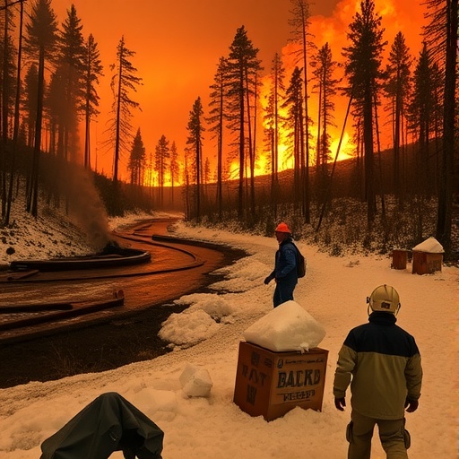
In August 2020, the Grizzly Creek fire ravaged more than 30,000 acres around Interstate 70 in Colorado’s Glenwood Canyon, marking one of the most severe wildfire events affecting this critical transportation corridor. The immense burn scar left behind destabilized the landscape, setting the stage for perilous postfire debris flows. These flows—fast-moving surges of mud, rocks, and water—pose extraordinary risks to infrastructure, public safety, and the regional economy, with closures of the interstate incurring costs estimated at about $1 million for every hour the road remained shut. The interplay of fire-altered soils, vegetation loss, and hydrological changes create a hazardous environment that demands accurate forecasting to prevent future disasters and guide emergency responses.
In the year following the fire, intense episodic rainstorms catalyzed catastrophic debris flows that swept across the highway, forcing prolonged shutdowns. By 2022, however, despite the forecasted risk and several interstate closures issued as preemptive safety measures, these debris flows surprisingly did not materialize. The difference? Natural vegetation had sufficiently recovered, re-establishing root networks and soil properties that helped stabilize the hillslopes. This phenomenon highlighted a critical knowledge gap in existing hazard prediction models: the dynamic influence of postfire ecological recovery on debris flow potential.
Recognizing the urgent need to refine debris flow hazard forecasting, a team led by Andrew Graber, a landslide hazards research geologist at the U.S. Geological Survey (USGS), embarked on a pioneering study to quantify how vegetation regrowth modulates debris flow risk over time. Their research, recently published in Geosphere, introduces a novel methodology that integrates satellite-derived vegetation indices with traditional hydrometeorological data to estimate debris flow initiation thresholds in recovering burned landscapes. This approach marks a significant advancement, aiming to reduce false alarms without compromising public safety.
Post-wildfire geomorphology is complex, involving a suite of factors that collectively amplify debris flow hazards. Wildfires alter soil structure, often creating hydrophobic layers that impede infiltration and promote surface runoff. The eradication of vegetation strips away stabilizing roots that normally distribute water and bind soils, further augmenting susceptibility to slope failure. Conventional hazard maps and warning guidelines issued shortly after fires tend to assume worst-case scenarios, reflecting fully denuded terrains at peak vulnerability, without accounting for progressive ecosystem recovery.
To address these shortcomings, Graber’s team undertook a comprehensive recalibration of existing predictive models. They incorporated satellite remote sensing tools capable of capturing spatial and temporal variations in vegetation cover, such as normalized difference vegetation index (NDVI) data, which provided quantitative metrics of plant regrowth. By integrating these data into updated rainfall threshold equations, the team could adjust hazard levels more accurately, reflecting real-time landscape resilience improvements rather than static postfire conditions.
This methodology was rigorously validated over 12 geographically and climatically diverse burned areas, using three years of historical rainfall records and debris flow occurrence data. The comparative analysis demonstrated that forecasts incorporating vegetation recovery produced significantly fewer unnecessary warnings, aligning closer with observed debris flow events. This enhanced precision offers vital benefits for agencies tasked with safeguarding transportation infrastructure and public safety, enabling them to tailor closures and warnings more judiciously.
Beyond immediate hazard mitigation, these findings bear wider implications in the context of increasing wildfire frequency and intensity driven by climate change. Urban expansion into fire-prone, steep topographies in the American West amplifies exposure to debris flow hazards. Simultaneously, climatic trends elevate the likelihood of extreme storms and prolonged droughts, which variably influence vegetation recovery trajectories. The dynamic feedbacks between fire effects, ecological succession, and meteorological forces underscore the necessity for adaptive and data-rich hazard assessment frameworks.
While the new vegetation-aware prediction tool represents a crucial leap forward, Graber stresses that forecasting debris flows remains an inherently challenging endeavor. Natural systems exhibit substantial heterogeneity and stochasticity; no single model can guarantee perfect predictions of timing, location, or magnitude. Continuous refinement through expanded data integration, machine learning techniques, and field monitoring is essential to evolve models that more comprehensively capture the multifaceted mechanisms governing postfire debris flows.
Nonetheless, the progress made by Graber and colleagues offers a promising pathway to balance public safety with societal tolerance for cautionary warnings. Avoiding “crying wolf” scenarios fosters greater public trust and compliance with recommended protective measures, a key objective in emergency management. The improved forecasts empower decision-makers with nuanced insights, potentially saving lives and reducing the immense economic costs historically linked to postfire debris flow events.
In sum, this research epitomizes the merging of cutting-edge remote sensing, geotechnical analysis, and interdisciplinary collaboration to address one of the most pressing natural hazard challenges in contemporary wildfire-affected regions. As climate pressures and population growth continue to collude, such innovations will be pivotal for resilient infrastructure planning and safeguarding vulnerable communities across fire-impacted landscapes.
Subject of Research: Postfire debris-flow hazard prediction incorporating vegetation recovery dynamics
Article Title: Characterizing changes in postfire debris-flow hazard as burned areas recover
News Publication Date: 16-Apr-2026
Web References:
DOI Link to Article
Denver Post Article on I-70 Closures
References:
Graber, A., et al., 2026, Characterizing changes in postfire debris-flow hazard as burned areas recover: Geosphere.
Keywords: Geology, Wildfires, Watersheds, Climate change
