Information like forest canopy height can be useful in assessing the health of a forest, but current measuring methods are not always feasible for large geographic regions or adaptable to diverse forest types. Monitoring from space can be a solution.

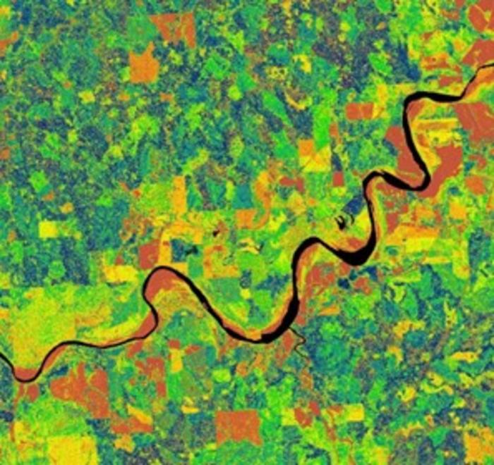
Credit: Qin Ma, Nanjing Normal University.
Information like forest canopy height can be useful in assessing the health of a forest, but current measuring methods are not always feasible for large geographic regions or adaptable to diverse forest types. Monitoring from space can be a solution.
Forests function as more than a place for a quiet retreat: trees intake and absorb carbon dioxide (a major greenhouse gas), a process also known as carbon sequestration, and are essential parts of water regulation, habitat provision, and support much of the world’s terrestrial biodiversity. Quantifying forest structure parameters, such as canopy height, canopy cover, and tree density are essential to understanding forest ecosystem functions. Measuring these, on the other hand, can be tricky. Instead of relying on airborne laser scanning (ALS) measurements, which can be limited and expensive, researchers are looking for a more accessible way to obtain forest measurements that are as accurate and precise as the current method widely used.
Lidar (or LiDAR: light detection and ranging) is an active remote sensing technology capable of capturing three-dimensional information of the earth’s surface. Remote sensing itself refers to the scanning and monitoring of the physical characteristics of the earth by using satellites or high-flying aircrafts. Airborne lidar is one of the most accurate tools to measure canopy height, but falls short when it comes to spatial coverage and affordability. A suitable replacement would have similar accuracy to airborne lidar and more flexibility to assess canopy height over diverse forest types, elevation, topography, and canopy coverage. The replacement proposed: spaceborne lidar. The study uses a spaceborne satellite, ICESat-2, which has a much greater potential for canopy height estimation on a larger scale. This reduces the need for less adaptable and more expensive technology while allowing greater access to forest structure information.
The results were published in Journal of Remote Sensing on July 5th.
ICESat-2 uses an advanced laser to map the earth’s surface including measures of elevation and vegetation height. The canopy heights measured by ICESat-2 operated using strong beam at night are most consistent with airborne lidar data. ICESat-2 appears to have a high degree of accuracy when analyzing evergreen forests with dense canopy cover.
“The ICESat-2 satellite has proven to be a reliable and effective tool for measuring canopy height on a global scale, but a careful selection and calibration over the ICESat-2 dataset is necessary for large-scale canopy height estimation,” said Nitant Rai, a former graduate student at Mississippi State University and lead author of the study.
Continuing the development of ICESat-2 and combining it with other fine-resolution remote sensing methods, researchers hope to achieve a “wall-to-wall” estimate of canopy coverage details and how the forest is structured and to monitor how that structure may change over time. Already, ICESat-2 looks promising for monitoring the recovery of forests and detecting variances that might lead to forest health issues down the road.
“This study also demonstrates the importance of integrating diverse data sources for forest structure monitoring and highlights the applicability of ICESat-2 in understanding forest
structure on a global scale,” said Qin Ma, a professor from Nanjing Normal University and corresponding author of the study.
Information of this kind can be integral in the surveillance of forests, which can help detect changes in how much carbon they store among other things, while having a broader range of accessibility across the globe. With increased monitoring, threats to forests or areas of deforestation can be addressed promptly. Ultimately, improving forest surveillance can help preserve ecosystems, which are integral to the safety and longevity of its inhabitants and the surrounding areas.
Nitant Rai, Krishna Poudel, and Austin Himes of the Department of Forestry at Mississippi State University; Qin Ma of the School of Geography, Key Laboratory of Virtual Geographic Environment at Nanjing Normal University and Jiangsu Center for Collaborative Innovation in Geographical Information Resource Development and Application; and Qingmin Meng of the Department of Geosciences at Mississippi State University contributed to this research.
The McIntire-Stennis Project, National Key Research and Development Program of China, National Natural Science Foundation of China and Nanjing Normal University made this research possible.
Journal
Journal of Remote Sensing
Method of Research
Computational simulation/modeling
Subject of Research
Not applicable
Article Title
Evaluating the Uncertainties in Forest Canopy Height Measurements Using ICESat-2 Data
Article Publication Date
5-Jul-2024
COI Statement
The authors declare that they have no competing interests.