As cities expand and evolve, the phenomenon of urban sprawl remains a pivotal concern for environmental scientists and urban planners alike. A recent study conducted by Rahman, Odud, Akram, and their colleagues provides a profound exploration of urban sprawl in the Behrampore urban agglomeration, located in the West Bengal region of India. This investigation employs advanced geospatial techniques to analyze patterns of urban development, shedding light on the implications for sustainability and urban planning in rapidly urbanizing areas.
Urban sprawl is characterized by the uncontrolled expansion of urban areas into the surrounding rural landscape, which often leads to a host of negative consequences, including loss of agricultural land, increased traffic congestion, and disruption of local ecosystems. In the case of Behrampore, the researchers aimed to map and assess the sprawl pattern, thus providing valuable insights into the underlying causes and potential solutions. By utilizing cutting-edge geospatial technology, the team is not only documenting the trends but also suggesting strategies for managing urban growth more sustainably.
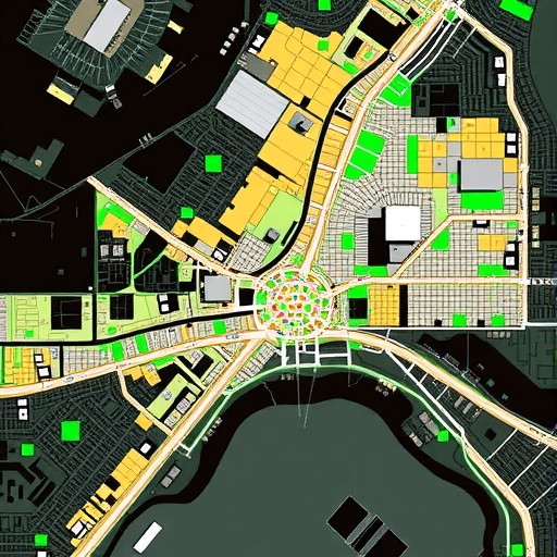
Geospatial techniques, which involve the collection and analysis of data that has a geographic or spatial component, are critical in modern urban studies. The study employs remote sensing data combined with geographic information system (GIS) technology to pinpoint areas of change within the urban landscape over time. Through this analytic lens, the researchers were able to visualize urban growth patterns quantitatively and qualitatively, explaining how different sectors of Behrampore have transitioned from rural to urban use over the years.
One key aspect of the study is the integration of various data sources, including satellite imagery and demographic information. By layering these datasets, the researchers can track not only physical changes to the landscape—such as the construction of new buildings and infrastructure—but also social indicators, such as population growth and economic activity. This multifaceted approach provides a more comprehensive understanding of urban dynamics, enabling more informed decision-making regarding future development.
The results of the study emphasize the urgent need for effective urban planning strategies that take into consideration the complexities of urban sprawl. The researchers found that Behrampore has experienced significant growth over the last decade, driven primarily by economic development and population increase. However, this growth comes at a cost—green spaces are diminishing, and the risk of flooding is increasing due to poor urban drainage systems. These findings highlight the crucial intersection of urban planning and environmental sustainability that must be navigated as cities continue to expand.
Moreover, this research serves to underscore the importance of community engagement in addressing urban sprawl. The researchers advocate for involving local residents in the planning process, ensuring that the voices of those most affected by urban changes are heard. By fostering collaboration between governments, urban planners, and community members, it is possible to develop strategies that not only promote growth but also protect the environment and enhance quality of life.
One notable outcome of the study is the identification of key drivers of urban sprawl specific to the Behrampore context. These include economic factors such as employment opportunities drawing people to the area, as well as social factors like migration and housing demand. Understanding these drivers allows for the crafting of targeted policies that can mitigate the negative impacts of sprawl while supporting necessary urban growth.
The implications of this research extend beyond Behrampore itself; they resonate with urban areas globally that are grappling with similar issues of sprawl and sustainability. The methodologies developed in this study can serve as models for other regions, highlighting the importance of adopting geospatial techniques in urban research. By democratizing access to these analytic tools, communities worldwide can foster a data-driven approach to urban planning.
In conclusion, the study conducted by Rahman et al. represents a significant contribution to the field of urban studies, providing critical insights into the complexities of urban sprawl in Behrampore. The application of geospatial techniques illuminates patterns that may otherwise go unnoticed, and the results highlight the pressing need for strategic planning in urban environments. As cities continue to grow, the findings of this research encourage a forward-thinking approach that prioritizes sustainability, community involvement, and comprehensive analysis in urban development.
The growing body of literature on urban sprawl stresses the need for ongoing research in this area. Future studies could further refine the methodologies used, explore additional case studies, or investigate the long-term impacts of the policies implemented as a result of this research. Ultimately, as we navigate the challenges of expanding urban landscapes, the work of researchers like Rahman and his colleagues will remain essential in guiding sustainable development that respects both people and the planet.
In light of these findings, it would be prudent for policymakers and urban planners to prioritize the integration of geospatial data into their planning processes. This attention to detail will ensure that the challenges posed by urban sprawl are addressed proactively rather than reactively. The innovative spirit of employing technology for social good is crucial as cities around the world seek to balance growth with the preservation of vital ecosystems.
Urban sprawl in Behrampore not only impacts its immediate environment but also serves as a warning for other urban agglomerations. The cascading effects of unchecked growth can ripple far beyond city limits, affecting neighboring regions and ecosystems. Thus, it is vital to retain a holistic perspective toward urban expansion that encompasses ecological, social, and economic dimensions.
The call to action is clear: if effective strategies are not developed to manage urban growth sustainably, future generations may face the consequences of the choices made today. Research such as that conducted by Rahman et al. will be instrumental in shaping an urban future that is both economically vibrant and socially equitable, while safeguarding the environment for future inhabitants.
Subject of Research: Urban Sprawl in Behrampore, West Bengal, India
Article Title: Assessing urban sprawl of Behrampore urban agglomeration of West Bengal, India by using geospatial techniques.
Article References:
Rahman, F., Odud, A., Akram, W. et al. Assessing urban sprawl of Behrampore urban agglomeration of West Bengal, India by using geospatial techniques. Discov Cities 2, 106 (2025). https://doi.org/10.1007/s44327-025-00144-5
Image Credits: AI Generated
DOI: https://doi.org/10.1007/s44327-025-00144-5
Keywords: Urban Sprawl, Geospatial Techniques, Urban Planning, Sustainability, Behrampore.
