In an unprecedented scientific investigation, researchers have harnessed the power of satellite technology to unveil the environmental consequences of the devastating 2023 earthquake in Türkiye. The study leverages data from the European Space Agency’s Sentinel-5P satellite, a cutting-edge platform designed to monitor atmospheric trace gases globally. This research provides a unique lens on how significant seismic events can profoundly alter air quality, offering new insights into the dynamic interplay between natural disasters and atmospheric chemistry.
The magnitude 7.8 earthquake that struck southeastern Türkiye in early 2023 catalyzed a series of geophysical and environmental changes. While the immediate focus has largely remained on human casualties and infrastructural damage, the subtle yet critical shifts in air quality have remained less understood until now. The unprecedented application of Sentinel-5P’s daily global coverage allowed scientists to capture precise temporal and spatial variations in atmospheric pollutants, charting a comprehensive narrative of the earthquake’s impact on regional air quality.
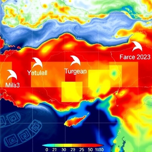
Using the satellite’s tropospheric monitoring capabilities, the researchers focused on key pollutants including nitrogen dioxide (NO2), sulfur dioxide (SO2), and carbon monoxide (CO). These trace gases serve as vital biomarkers for air pollution and are closely linked with both anthropogenic emissions and natural atmospheric processes. By comparing pre-earthquake and post-earthquake satellite data, the research team mapped fluctuations in these pollutants over affected urban centers and their surroundings, revealing a pattern of environmental disruption never before documented in such detail.
The analysis exposed a pronounced decline in nitrogen dioxide levels immediately following the seismic event. This phenomenon aligns with the widespread disruption of human activities such as transportation and industrial operations, which are primary sources of NO2. This temporary reduction, however, was punctuated by localized spikes correlated with fires and industrial accidents triggered by the earthquake, demonstrating the complex and heterogeneous nature of atmospheric responses in the aftermath of disasters.
Concurrently, sulfur dioxide concentrations exhibited a different pattern — showing an anomalous increase in certain zones. This likely results from damage to gas pipelines and oil refineries, which are prevalent in the region. The leakage and combustion of fossil fuels released into the atmosphere contributed to elevated SO2 levels, posing acute respiratory risks to populations already vulnerable due to infrastructural collapse and displacement.
The satellite data further revealed fluctuations in carbon monoxide, a pollutant that often serves as a proxy for incomplete combustion processes. The post-earthquake period saw erratic CO levels, with spatial heterogeneity suggesting a combination of reduced vehicular emissions due to halted traffic and increased emissions from emergency power generators and uncontrolled fires. These patterns illustrate how disaster response and recovery activities themselves imprint on atmospheric chemistry in complex ways.
Importantly, the study underscores the value of high-resolution satellite remote sensing as a tool for rapid environmental assessment. Traditional ground-based air quality monitoring networks, while indispensable, often suffer from disruptions during natural disasters. In contrast, Sentinel-5P’s orbiting platform provides continuous, timely, and wide-ranging data unaffected by ground-level infrastructure damage, enabling scientists and policymakers to make informed decisions under crisis conditions.
The implications extend beyond Türkiye. This research paves the way for integrating real-time satellite observations into disaster response frameworks worldwide. Understanding pollutant dispersal and accumulation patterns post-disaster can aid in identifying health risks, allocating resources, and implementing mitigation strategies swiftly. Such knowledge is vitally important in an era characterized by increasing natural calamities exacerbated by climate change.
The methodological approach taken in this work involved advanced data processing and comparative analysis techniques. Atmospheric correction algorithms were applied to remove confounding meteorological influences, while temporal averaging smoothed short-term fluctuations to reveal underlying trends. Geographic information system (GIS) tools were employed to correlate pollution hotspots with damaged infrastructure zones, enhancing the spatial contextualization of the findings.
Moreover, the study highlights the interconnection between geological and atmospheric sciences. Earthquakes, traditionally viewed through a geotechnical lens, are here linked intricately with atmospheric chemistry shifts, extending the disciplinary boundaries and encouraging multidisciplinary collaboration. Such integrated approaches are essential for holistic disaster risk management and environmental sustainability.
Throughout the months following the earthquake, the satellite data continued to track the gradual recovery of air quality levels as industrial activities resumed and emergency repairs were enacted. However, certain pollutants remained elevated in persistent hotspot regions, indicating ongoing environmental hazards. This long-term monitoring capability is crucial in assessing the efficacy of remediation efforts and informing continuous public health advisories.
In light of these findings, the authors advocate for expanding satellite-based environmental surveillance programs, especially in seismically active and industrially dense regions. They emphasize the need for international cooperation to enhance data sharing, analytical methodologies, and capacity building aimed at improving disaster preparedness and environmental resilience.
This pioneering research not only sheds light on the hidden atmospheric aftermath of a major earthquake but also champions the transformative potential of satellite technology in environmental science. By unveiling the silent changes in air quality following geological upheaval, it provides a critical foundation for building safer, healthier, and more responsive communities in the face of natural disasters.
Above all, the study stands as a testament to the synergy between technological innovation and scientific inquiry. Sentinel-5P’s eye in the sky serves as both a witness and sentinel, capturing the invisible consequences of Earth’s tremors and guiding humanity towards more informed stewardship of the planet’s delicate environmental balance.
The meticulous work of Abujayyab, Öztürk, Canbulat, and their colleagues thus marks a new chapter in understanding natural disasters—not just as immediate catastrophes but as complex events with multi-dimensional impacts extending high into the atmosphere, where they leave discernible imprints that modern science is only beginning to decode.
As environmental challenges grow in scale and complexity, harnessing satellite data to monitor and mitigate disaster repercussions will become an indispensable element of global resilience strategies. This study exemplifies the cutting-edge frontier of such efforts, offering a blueprint for future research and response that bridges earth sciences, atmospheric monitoring, and public health into a unified framework for planetary care.
Subject of Research: Impact of the 2023 earthquake in Türkiye on air quality using satellite remote sensing data.
Article Title: Impact of the 2023 earthquake in Türkiye on air quality using Sentinel-5P satellite data: a comparative analysis.
Article References:
Abujayyab, S.K.M., Öztürk, A., Canbulat, O. et al. Impact of the 2023 earthquake in Türkiye on air quality using Sentinel-5P satellite data: a comparative analysis. Environ Earth Sci 84, 537 (2025). https://doi.org/10.1007/s12665-025-12577-7
Image Credits: AI Generated
