


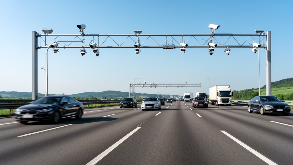
Researchers at Beihang University have developed a unified framework called the Traffic World Model, or TWM, designed to address the critical scarcity of diverse roadside traffic data. The system generates controllable roadside images, traffic videos, safety-critical events, and LiDAR-style point clouds, offering a potential solution to the high costs and logistical difficulties associated with collecting real-world multimodal data from infrastructure-mounted sensors. The study, published in Communications in Transportation Research, presents a novel approach to synthetic data generation that aims to support the development of autonomous driving and intelligent transportation systems by providing high-quality, varied training datasets.
The motivation for developing TWM stems from the specific challenges of roadside traffic observation. Unlike ego-vehicle perspectives, which focus on the immediate path of a single car, infrastructure sensors observe wider areas with more complex road structures. Traffic participants in these views appear at substantially different distances and scales, making the generation of realistic scenes significantly more difficult. Furthermore, safety-critical situations such as road debris, lane-occupying construction equipment, accidents, heavy fog, and snow occur infrequently in the real world, making them difficult to collect at scale for training robust perception models.
At the core of the TWM architecture is a conditional Diffusion Transformer, known as cDiT. This model receives three complementary types of input to control the generation process: textual descriptions of environmental conditions, projected three-dimensional bounding boxes describing traffic participants, and map-derived priors representing road topology. The textual descriptions specify background characteristics such as the time of day, weather, illumination, and atmospheric conditions, while the object boxes control the position, category, and spatial distribution of vehicles and other traffic participants. The map prior constrains the structure of roads and lanes, allowing the model to control not only the appearance of the generated scene but also its spatial organization.
Once the initial roadside image is generated, TWM uses it as a shared scene anchor for three additional generation branches. This image-centered framework ensures consistency across the different modalities produced by the system. For traffic video generation, the researchers introduced a technique called traffic-aware prompt expansion. This method supplements the original text prompt with specific information about fixed-camera viewpoints, traffic-flow directions, lane-following behavior, and temporal-consistency requirements. The video model is further adapted to roadside-surveillance footage using low-rank adaptation, or LoRA, to better match the visual characteristics of real-world surveillance data.
The generation of safety-critical events is formulated as a conditional image-editing task within the TWM framework. Event-related objects are extracted from traffic images, semantically annotated, quality-filtered, and reconstructed into coarse three-dimensional assets. These assets are then inserted into target scenes at specified locations, poses, and scales. This approach allows the model to create rare traffic situations involving road debris, traffic cones, warning signs, construction equipment, and accident-related vehicles while maintaining consistency with the original road environment.
For LiDAR-style point-cloud generation, TWM first predicts a dense pseudo-depth map from the input image. The system combines sparse LiDAR measurements and monocular-depth estimates through a process involving outlier filtering, global scale alignment, and edge-aware residual propagation. The predicted depth is then projected into three-dimensional space and transformed into the LiDAR coordinate system to create the final point clouds.
The researchers evaluated TWM using several vehicle–infrastructure datasets, assessing its performance across four distinct tasks: roadside image generation, traffic-video generation, safety-critical event generation, and image-to-LiDAR-style point-cloud generation. The evaluations compared TWM against the strongest baseline for each specific task. The results demonstrated that TWM improved generation quality across all four tasks, with significant reductions in standard error metrics. Specifically, the model reduced the Fréchet Inception Distance by 39% for general traffic-image generation and by 73% for safety-critical event generation, indicating a substantial improvement in the realism and fidelity of the generated images.
In the domain of video generation, TWM reduced the Fréchet Video Distance by 20% compared to the strongest baseline, suggesting that the generated videos exhibit better temporal consistency and visual quality. For point-cloud generation, the model reduced depth error by 11%, which is a meaningful improvement in the accuracy of the reconstructed 3D structures.
To further validate the robustness of the model, the researchers evaluated TWM on a camera-disjoint test set containing approximately 2,000 traffic-scene images. These images were collected from 23 previously unseen roadside cameras, ensuring that the model was tested on data it had not encountered during training. The test data covered a variety of environments, including highways and intersections, under different weather conditions such as sunny, cloudy, and rainy scenarios.
The study highlights the potential of unified frameworks in addressing data scarcity in autonomous driving. The use of a shared scene anchor ensures that the different modalities are consistent with one another, providing a coherent representation of the traffic environment.
The ability to control the generation process through textual, spatial, and topological inputs allows researchers to create specific scenarios tailored to the needs of their models.
The publication of this study in Communications in Transportation Research underscores the importance of innovative data generation techniques in advancing the field of intelligent transportation systems.
The study was published in Communications in Transportation Research, a peer-reviewed journal launched in 2021 with academic support from Tsinghua University and the China Intelligent Transportation Systems Association. The journal is indexed in major databases including SCIE, SSCI, and Scopus, and was selected as a Q1 Top Journal in the Engineering and Technology category of the Chinese Academy of Sciences Journal Ranking List. In 2024, the journal received an impact factor of 12.5, ranking first among all journals in the transportation category, and maintained this top position in 2026 with an impact factor of 12.7. From Volume 6 in 2026, the journal is published by Tsinghua University Press on the SciOpen platform, serving as an international platform for showcasing innovative achievements in transportation and related fields.
Chunmian Lin, a researcher at Beihang University, noted that most existing driving-generation models focus on the ego-vehicle perspective, which limits their applicability to infrastructure-based monitoring. Roadside traffic generation presents distinct challenges because infrastructure sensors observe wider areas, more complex road structures, and traffic participants at substantially different distances and scales. The team designed the Traffic World Model specifically to address these roadside-view requirements, using a generated image as a common scene anchor for subsequent video, safety-critical event, depth, and LiDAR-style point-cloud generation.
The evaluation of the Traffic World Model included a camera-disjoint test set designed to assess generalization capabilities. This test set contained approximately 2,000 traffic-scene images collected from 23 previously unseen roadside cameras, ensuring that the model was tested on data not encountered during training. The test data covered highways and intersections under sunny, cloudy, and rainy conditions, providing a diverse range of environmental scenarios.
The study highlights the importance of large-scale, accurately annotated traffic data for autonomous driving and intelligent transportation systems. Collecting multimodal data from infrastructure-mounted cameras and LiDAR sensors is expensive and time-consuming, and safety-critical situations such as road debris, lane-occupying construction equipment, accidents, heavy fog, and snow occur infrequently and are difficult to collect at scale. The Traffic World Model offers a potential solution to these challenges by generating controllable roadside images, traffic videos, safety-critical events, and LiDAR-style point clouds.
Subject of Research: Can a traffic world model generate realistic roadside multimodal data?
Article Title: Can a traffic world model generate realistic roadside multimodal data?
Article References: Can a traffic world model generate realistic roadside multimodal data?. Original publication (Bibliographic details unavailable.)
Image Credits: AI Generated
DOI: Not provided
Keywords: traffic, world, model, generate, realistic, roadside, multimodal, data, scientific research
Cite Scienmag News
Denise Maddox. (November 8, 2026). Traffic World Model Generates Realistic Roadside Multimodal Data. Scienmag. https://scienmag.com/traffic-world-model-generates-realistic-roadside-multimodal-data/
Denise Maddox. "Traffic World Model Generates Realistic Roadside Multimodal Data." Scienmag, 8 November 2026, https://scienmag.com/traffic-world-model-generates-realistic-roadside-multimodal-data/. Accessed 8 November 2026.
Denise Maddox. "Traffic World Model Generates Realistic Roadside Multimodal Data." Scienmag. November 8, 2026. https://scienmag.com/traffic-world-model-generates-realistic-roadside-multimodal-data/




