


Satellite Workflow Comparison Reveals Built-Up Land Surge Across Coastal Odisha Delta
A comparative evaluation of satellite mapping workflows found deep learning products achieved the highest accuracy, projecting a 2.2-fold expansion of ...
A comparative evaluation of satellite mapping workflows found deep learning products achieved the highest accuracy, projecting a 2.2-fold expansion of ...

Researchers tracking China's Liaoning coastal zone discovered that watersheds and wetlands supply most ecosystem service value despite occupying about 17 ...

A thirty-year satellite study in the Western Ghats reveals that evergreen forest cover plummeted by 31.42 percent while urban settlements ...

A comprehensive bibliometric analysis reveals that global peri-urban research expanded rapidly after 2000, shifting focus from early agricultural descriptions toward ...

A thirty-year geospatial study reveals that urban built-up areas in Jabalpur more than doubled between 1995 and 2025 while dense ...

A study in City and Built Environment reveals that Srinagar's rapid urban expansion from 1992 to 2024 has significantly reduced ...

A multitemporal satellite study reveals that forest biomass gains across peripheral mountains offset rapid urban expansion to increase carbon storage ...
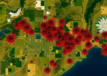
Satellite records from 1984 to 2024 show built-up land in southern Punjab rising from about 1 percent to nearly 10 ...
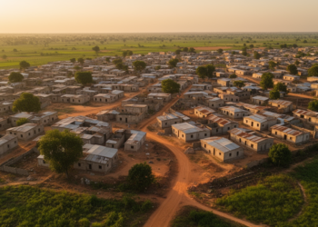
A study of Ijebu Ode, Nigeria, found built-up land rose 261.4 percent from 1986 to 2020 while permit compliance remained ...

A 20-year study of China's Two Lakes Region finds cropland shifting onto steeper slopes, with net ecological degradation in more ...


Embark on a thrilling journey of discovery with Scienmag.com—your ultimate source for cutting-edge breakthroughs. Immerse yourself in a world where curiosity knows no limits and tomorrow’s possibilities become today’s reality!